The She Maps team have a publication in this edition of Drones – the international open-access journal focused on the design and application of drone technology!
Our paper, Using Minidrones to Teach Geospatial Technology Fundamentals, explores the growing importance of incorporating drones into the STEM curriculum. It also presents common barriers faced by teachers and our step-by-step framework for introducing drones into student learning.
But here’s our little secret – it’s not about the drone! Sure, drones are fun to fly and super engaging, but we’re looking beyond that. We see drones as an opportunity to think more broadly about using technology to solve sophisticated challenges and build industry-standard skills.
Did you know that geoscience has been identified as one of the three most important emerging and evolving industries, alongside nanotechnology and biotechnology? With the ever-increasing availability of data from both satellites and drones, spatial thinking is an essential skill for the future workforce.
Despite this growing demand for geoscience and spatial thinking, geography is often excluded from conversations about STEM. But here at She Maps, we know that science, technology, engineering, maths (or any other subjects for that matter) don’t operate as separate entities in the real world. They are interconnected and intertwined, and what’s more important than any label is the ability to think creatively to solve problems.
These opportunities will equip students for work in the 21st century, where interdisciplinary skills will become increasingly required to address societal challenges. This is why we advocate for drone education.
We love teaching our drone program in schools, but we can’t be everywhere at once!
This is why we’ve published this paper, to support and encourage teacher, educators, industry professional, and community members to run the programs themselves!
We know our method works. To date, we have used this framework to run over 420 programs with over 8000 participants in schools and community groups across Australia, the United Kingdom, the United States, and Indonesia.
We’ve also trained local volunteers based in Nepal, India, Tanzania, Panama, Fiji, Jamaica, Papua New Guinea, Senegal, United States, Philippines, Mongolia, and Uganda as community-based instructors, who have gone on to apply the learning framework with their own students.
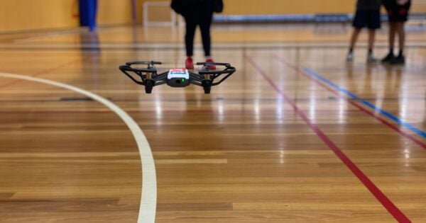
The rise of drones has captured the attention and imagination of scientists around the world. It has also allowed us to put geospatial technology in the hands of students of all ages with a fun ‘toy’ as a learning support tool.
We have used these mini-drones to create a real-world, hands on STEM geography program to teach geospatial technology fundamentals with a problem-based learning approach.
Through helping students to experience geospatial and drone technology in such a fun and interactive program, we hope to encourage a new wave of innovative geospatial scientists in the future workforce.
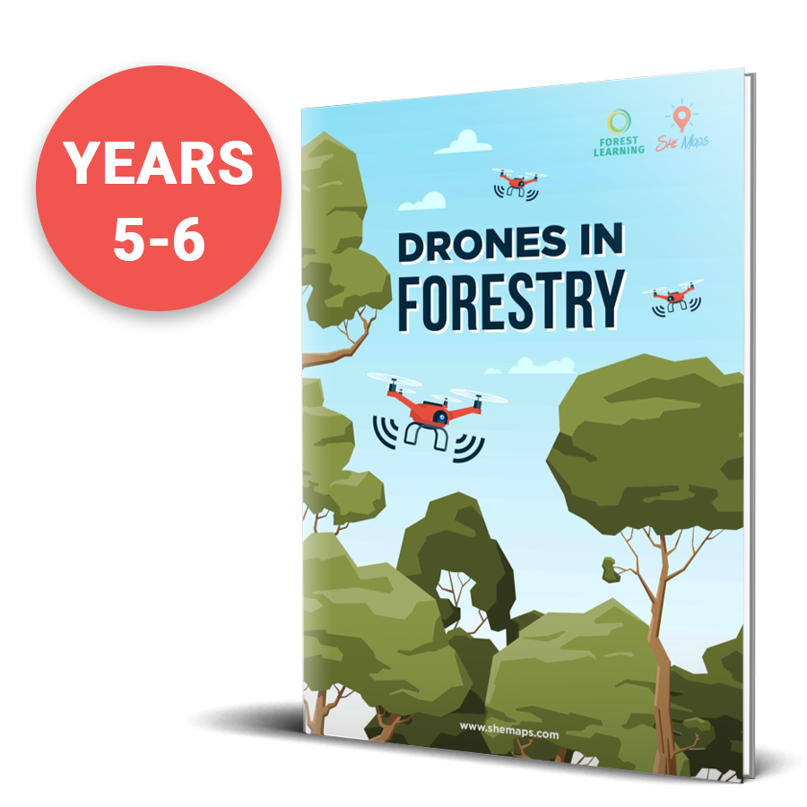
Want to check out our resources for free? Dowload our Forestry resources to get a better idea of what we offer.
She Maps is Australia’s leading expert in drone and geospatial education.
She Maps assist schools with the purchasing of drones, school-industry created drone and geospatial teaching resources and highly supportive teacher professional development.
Ready to buy drones for your school? We are an authorised DJI reseller in Australia

Subscribe by email and never miss a blog post or announcement.
She Maps aims to bring much needed diversity and support to STEM. We do this by providing drone and geospatial programs to teachers and schools across the globe.
At She Maps we acknowledge the Traditional Custodians of Country throughout Australia and their connections to land, sea, and community. We pay our respect to their Elders past and present and extend that respect to all Aboriginal and Torres Strait Islander peoples today.
Aboriginal and Torres Strait Islander peoples are advised that this site may contain names, voices, or images of people who have passed away.
Learn the 6 Steps to Launching a Successful Drone and Geospatial Program at your School
Take our resources for a spin and join the thousands of teachers who love our ready-to-teach classroom materials. Try one of our complete units of work for free.