Drones in Floods: How drones are a valuable resource for the problem
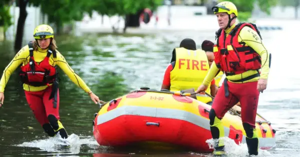
Drones in Floods; This transdisciplinary teacher resource uses ArcGIS StoryMaps to demonstrate how GIS and drones helped with the problem in 2019. This new unit of work is the second in a series of disaster themed units centred around geospatial tools such as drones and GIS (Geographical Information Systems) and the exploration of how they … Continue reading Drones in Floods: How drones are a valuable resource for the problem