International drone and geospatial education provider, She Maps and DroneBlocks is proud to launch a new drone simulator world to enhance student learning. This partnership brings together the innovation and expertise of She Maps, and the amazing development skills of DroneBlocks with the aim of providing more young students with the essential skills to thrive in the modern world.
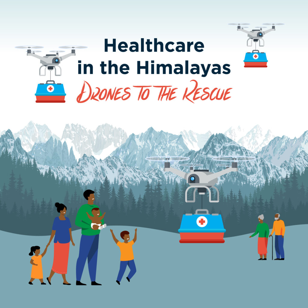
The new simulator world has been created to complement and enhance the existing Unit of Work – Healthcare in the Himalayas – Drones to the rescue.
So what are computer simulations and why use it in the classroom?
Computer simulation tools offer many advantages compared to traditional teaching methods. They are able to demonstrate abstract concepts, allow interaction between users and simulated equipment, and provide students with feedback that allow them to improve their knowledge and skills. Here are a couple of the key advantages of using computer simulators in the classroom:
- They mimic the real world environment so the learner feels comfortable and can practice without any fear of causing any damage to themselves, others, or their surrounding environment.
- Simulations allow students to make and test assumptions based on different applications, situations and outcomes.
- Simulations allow students students a safe place to fail, and engage in deep problem solving.
- Simulation tools can transform abstract concepts into interactive visual content, making it easier for students to understand the performance and relationship between different system parts
By combining these world class teaching resources with a computer based simulation, the students have the opportunity to deepen their understanding and engage in complex problem solving.
About Healthcare in the Himalayas – Drones to the rescue
How does a community access healthcare in a remote area? Especially when you live in the Himalayas and you have 8 of the top 10 tallest mountains, including Mt Everest!
Access to healthcare is a challenge in many remote regions of the Himalayas, as patients and healthcare workers have to walk for hours or even full days along steep, winding tracks between villages and the nearest hospital.
WeRobotics and Nepal Flying Labs want to challenge students to design a drone delivery system that is sustainable and time efficient so that remote communities can gain access to healthcare.
What is in the teachers pack?
These resources are mapped to the Australian Curriculum for Geography, Maths, Digital and Design Technologies for Years 5-6 and Years 7-10.
Complete with Curriculum Mapping, Lesson Sequence, Student Activity Sheets, StoryMap and Assessment Rubrics, this unit was designed as a transdisciplinary resource. This enables the unit to be taught by either a single instructor or in collaboration across topic areas; it has been designed in modules. Each module’s content has been defined, and these modules can be changed to meet your student’s needs and your school’s philosophy.
Nepal Flying Labs needs assistance to design and plan a drone system that will fly medical samples and/or medication from medical centres into central hospitals.
Students in primary and secondary classrooms will:
- evaluate the fastest system for medical delivery in remote areas of Nepal
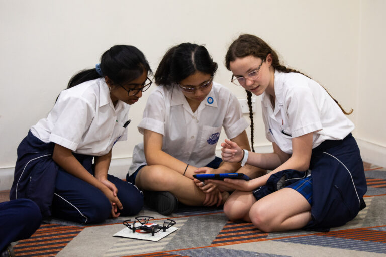
- design and construct a model drone attachment that will successfully simulate a method to carry medical supplies and patient samples
- manually and autonomously fly a drone to simulate delivery of the medical supplies
- understand how drones can be used to overcome humanitarian challenges.
Real Drone Simulator
Thanks to the amazing team at DroneBlocks, and the ongoing partnership with them, we collaborated to create the simulator world to complement and enhance the learning experience with our Healthcare in the Himalayas teaching resources. It establishes another way that students can replicate an autonomous solution to delivering medical support in the Himalayas.
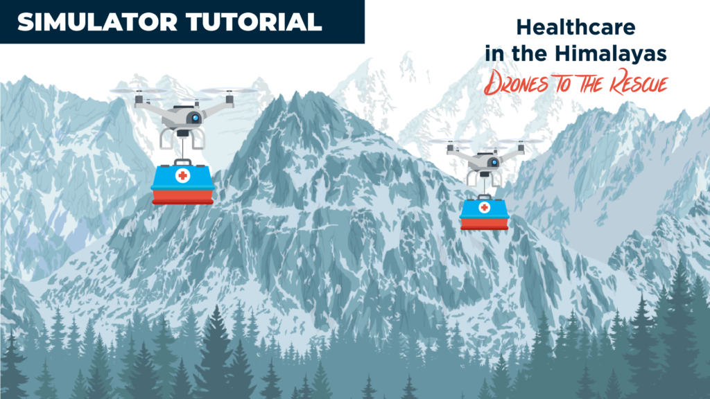
Healthcare in the Himalayas – Free Drone Simulator Tutorial
The DroneBlocks Simulator allows students to code and fly online, as well as save and share their projects with classmates. Perfect for when you’re working on complex code and want to test it pre-flight – or for when you don’t have access to a Tello (great for home learning).
Click the image below to see how to use the drone simulator.
How can I access the Drone Simulator – Healthcare in the Himalayas
To access the Simulator, you will need to have a DroneBlocks Membership. You can discover more about the DroneBlocks membership here. (She Maps is a recognised reseller of DroneBlocks in Australia)
For those of you who don’t know DroneBlocks, they are a leading provider of drone curriculum for students of all ages to learn Blockly, Python, Open-CV, Node.js, and JavaScript by coding autonomous missions in the classroom using the Tello drone. On their membership portal, they have over 200+ cloud-based lessons for teachers to choose from.
DroneBlocks offers a suite of software to enable educators to teach students about computer science with Tello drones. Discover more here.
Where to find Healthcare in the Himalayas – Teacher Resources
The Healthcare in the Himalayas teaching resources have recently been updated and is available as part of your She Maps membership. For She Maps Members, this updated resource is available via the membership portal. Click here.
We recently recorded a Teacher Resource Tour, which guides you on how to use these amazing teaching resources watch here.
You can purchase Healthcare in the Himalayas – Teachers Resources by clicking one of the links below.
Drones to the Rescue – Healthcare in the Himalayas – Years 5-6
Drones to the Rescue – Healthcare in the Himalayas – Years 7-10
If you enjoyed this article, then you might want to read our Ultimate Guide to Buying Drones or for inspiration on lessons with drones then we recommend you read Drones, GIS and Bushfire Recovery

