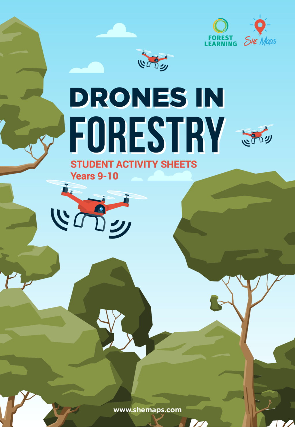
Drones in Forestry
In partnership with

The Drones in Forestry units of work allows students in years 5-6 and
9-10 to explore how Australia’s forests are sustainably managed using a variety of high-tech digital systems including drone and remote sensing technologies.
Australia’s sustainable productive forests are managed for renewable wood products using a variety of digital systems including drone and satellite technologies.
These units have been designed in modules to cater for equipment access, time constraints and curriculum requirements.
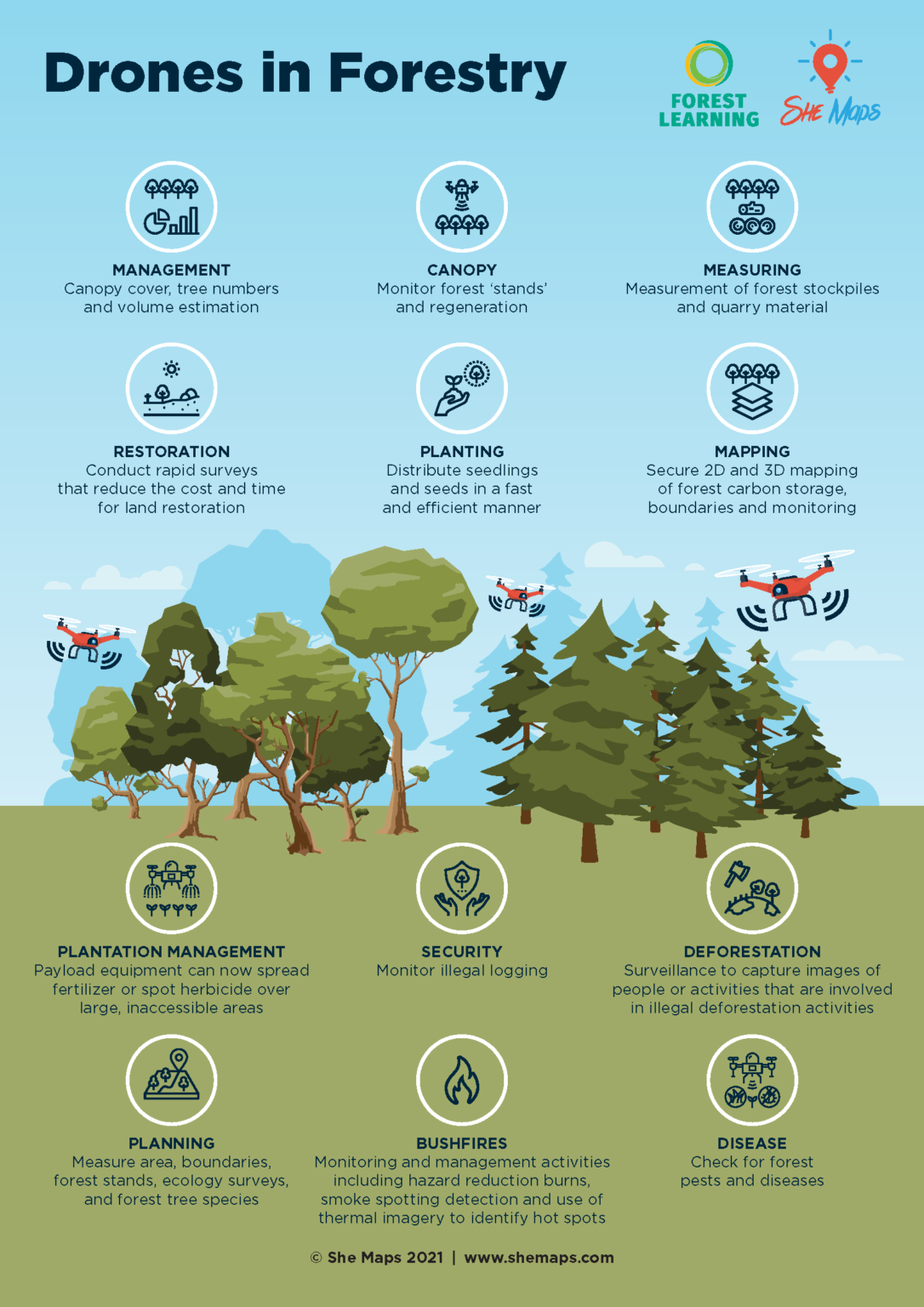
Students explore and understand how drones and Geographic Information Systems (GIS) assist foresters including forest planners to manage the forest environments that provide sustainable and renewable resources for society.
Students will complete a case study of how a forestry worker uses drones and digital systems to sustainably manage the forests. They will then complete a simulated forestry drone mission.
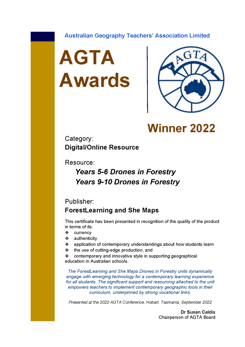
Winner - Best Digital Resource for
Years 5-6 and 9-10
Australian Geography Association Awards 2022.
“The ForestLearning and She Maps Drones in Forestry units dynamically engage with emerging technology for a contemporary learning experience for all students. The significant support and resourcing attached to the unit empowers teachers to implement contemporary geographic tools in their curriculum, underpinned by strong vocational links.”
Dr Susan Caldis
Chairperson of AGTA Board
Presented at the 2022 AGTA Conference, Hobart, Tasmania, September 2022
About the teaching resources
The Teaching and Learning resources consist of Australian Curriculum mapped lesson sequences with supporting resources and assessment rubrics. The unit has been designed in discrete modules to cater for equipment access, time constraints and curriculum requirements. The resources consist of:
- Lesson sequence with hyperlinks to supporting resources
- Australian Curriculum mapping document
- Assessment rubrics mapped to the Australian Curriculum Achievement Standards
- Student response booklets and activity sheets
- StoryMaps – interactive visual guides with embedded videos and maps.
These resources enable teachers to complete the curriculum-aligned activities in their classroom which cater to varied student ability and resource availability. All resources are provided free for teachers to access and download.
These resources have been developed in partnership with ForestLearning.
Years 5-6 - Teacher Resources
- discover the history of early forestry in Australia,
- learn the different ways that digital systems assist Australian foresters,
- design and implement their own drone mission to solve a forestry problem, and
- design and create a game-like app to reinforce understanding of drone mapping and STEM concepts.
Resource tour for teachers - Watch the video
Download the award-winning teaching resources
StoryMaps - Years 5-6
Year 9-10 Teacher Resources
Through the 9-10 unit, students will:
- understand systems thinking
- analyse the environmental, social and economic impact of digital systems in Forestry
- develop a Digital Systems in Forestry Report for potential clients or financial backers including a risk assessment plan
- research content, source assets and develop a website using HTML and CSS to present a case study of a Forestry worker
- design, define and implement a manual flight plan in a simulated forestry training environment
- define, design and implement code to demonstrate automated drone flight in a simulated forestry situation.
StoryMap – Digital Systems in Forestry
Learn more about ForestLearning

ForestLearning provides educators with free teaching resources relevant to the Australian Curriculum and with a focus on Australian forests and sustainable timber products.
Save precious planning time and plant the seeds of sustainability and our natural world in your K-12 classroom, by downloading ForestLearning teacher guides and photocopiable student workbooks. Discover the vital roles that renewable forests, wood and wood fibre products can play in creating a better, more sustainable world!
Discover more She Maps teacher resources
