Our teacher resources are second to none.
See for yourself and try our free unit of work.
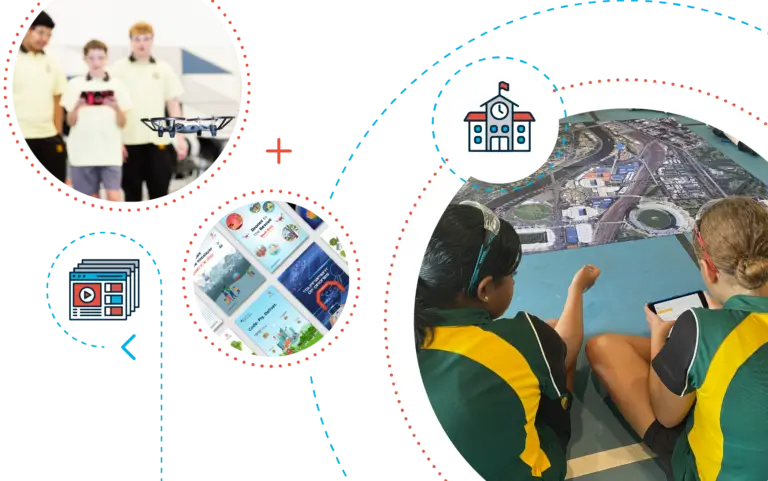
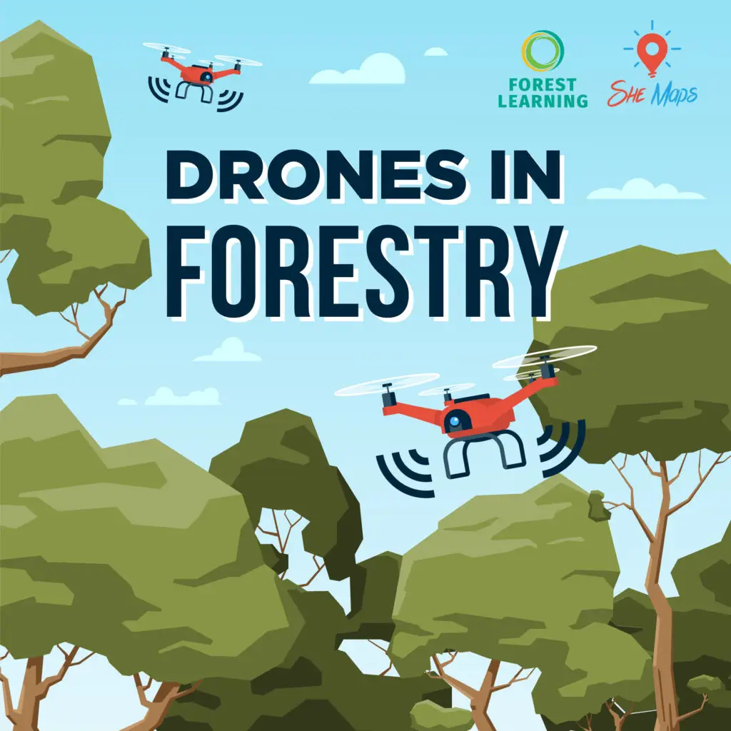
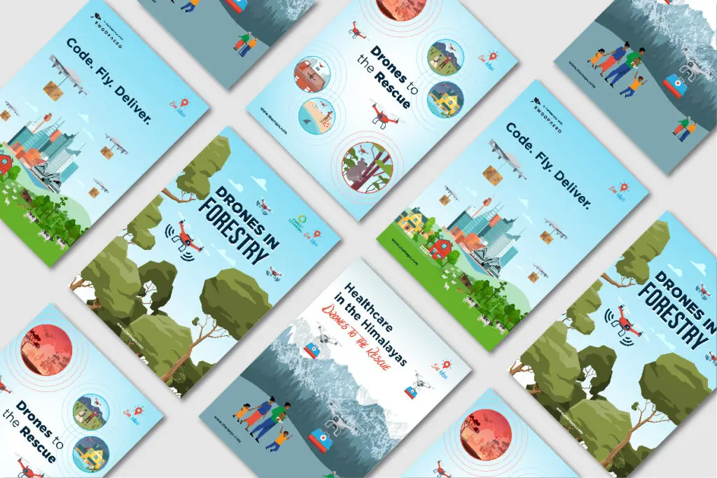
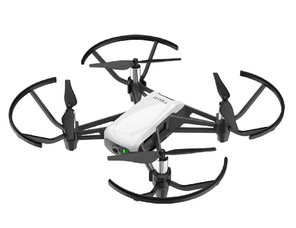
At She Maps, we made it our mission to help teachers engage a greater diversity of students in STEM using the latest technology, such as educational microdrones. Our online portal of learning and teaching resources – our She Maps Membership – includes a diverse range of units of work. Each unit of work was co-designed with industry and is aligned to the Australian Curriculum, covering a real-world STEM challenge which uses drones to solve it. Our units of work and teacher resources are one-of-a-kind, and are loved and trusted by thousands of teachers around Australia and beyond. See for yourself how we make teaching with drones easy, effective, and inclusive, by trying our free unit of work “Drones in Forestry” and downloading our complementary series of career posters, highlighting the work of females in STEM roles and inspiring young women in the classroom.
Drones in Forestry
Learn what digital systems are used in forestry and apply understanding to a simulated forestry problem.
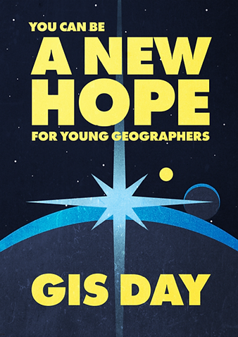
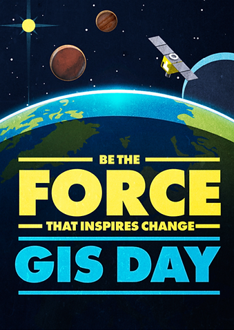
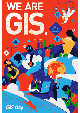
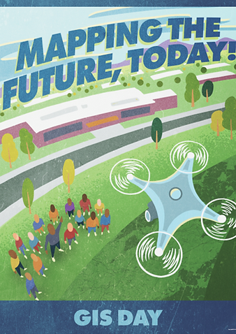
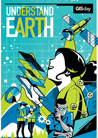
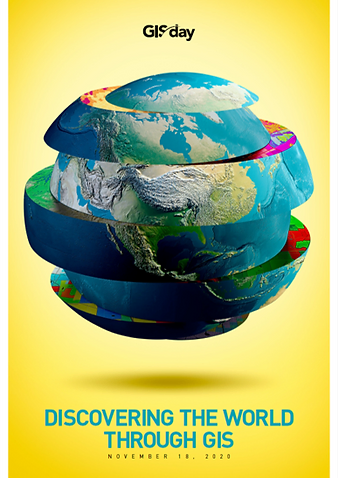
Career Posters
She Maps have created a suite of posters to celebrate some wonderful role models and the important work they do.
How we help you teach with drones
She Maps Membership
Gain access to our online portal of teaching and learning resources, such as teacher professional development content and units of work.
Use these free Geospatial UK resources to understand how geospatial data can be used across different topics and scenarios.
Tectonic Hazards
This activity focuses on how to visualise global patterns of earthquakes, exploring magnitude and depth of individual events and accessing live update earthquake data
This activity focuses on the spread of the 2020 wildfires along the West Coast of the USA, including the conditions preceding the event, methods of preventing the spread and the impacts on the environment
This activity focuses on how the East coast of England has eroded dramatically over time and at different locations, and how coastal land use is managed
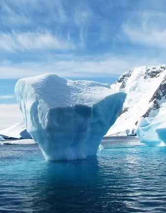
This activity explores Arctic and Antarctic sea ice melt as well as global glacier retreat as a result of temperature anomalies and the associated impacts on wildlife
This activity will allow students to explore the 2011 census data using GIS and understand how the census is so important for influencing decision making
This activity explores how census data can be used to predict where crime will occur while examining how real crime data helps to inform police strategies and operations
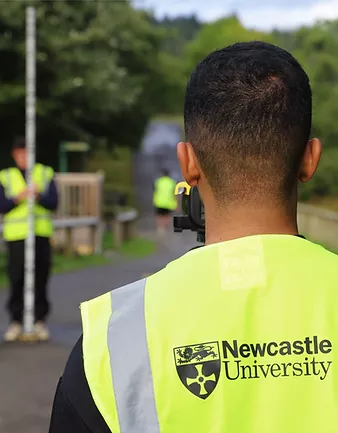
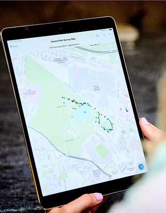
This exercise will guide you through how to collect data using the Survey123 app while examining the geographic relationship between public transport and the retail/service industry
Our collective depth of experience in working with schools enables us to provide expert knowledge, advice and support when it comes to purchasing drones and geospatial equipment for your school.
Take our resources for a spin and join the thousands of teachers who love our ready-to-teach classroom materials. Try one of our complete units of work for free.