Whilst many teachers are using microdrones in their classrooms, some teachers are wanting to take drones to a whole new level.
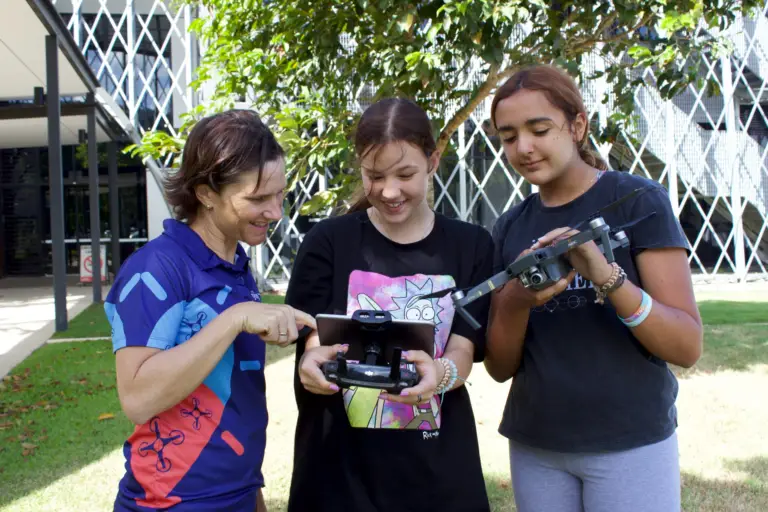
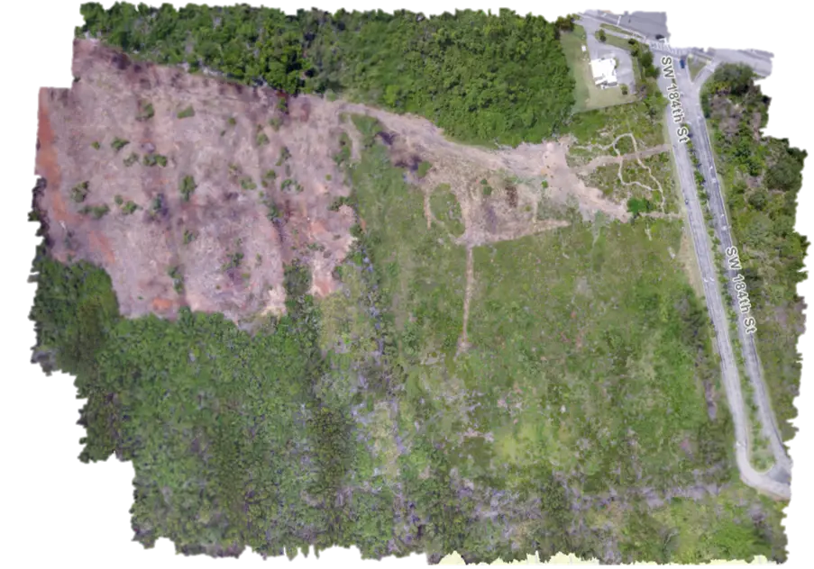
Introducing sub 2kg drones into the classroom in senior secondary school is becoming more commonplace. The ability to collect rich Earth observation data and have students use this for data analysis and geospatial data interpretation provides real world applications for students.
Whether this is collecting data on a geography field trip on coastal ecosystems, or mapping reefs on a marine science trip, the use of drones to collect data adds a whole new dimension.
Here are three things you might not have known about She Maps and how we can help you to be successful with using sub 2kg drones.
If you are a She Maps member, you have access to our Drone Mapping course online. This takes you through everything from the software requirements, to getting your drone set up for a mapping mission, to using GeoNadir for the storage, processing, visualisation, and sharing of your drone mapping data.
GeoNadir is run by She Maps co-founders, Dr Karen Joyce and Paul Mead. As our sister company, they understand how to build a solution that works for teachers and students. It is the go-to place for you to manage all of your drone mapping data, and it is affordable for school budgets.
Our microdrone program, Classroom Drone Essentials, is modelled off the work that Karen does with sub 2kg drones. So everything you learn and the skills your students have cemented with the microdrones are directly transferable to sub 2kg drones. In fact, when Karen is teaching adults to fly a drone mapping mission, if they haven’t flown drones before she takes them through flying with microdrones first.
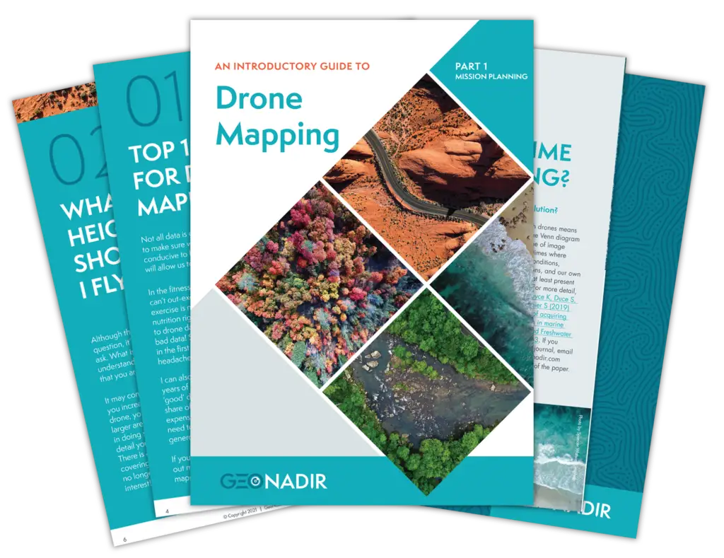
Drone Mapping e-book
GeoNadir has a great e-book with lots of tips to help you get started with drone mapping. It is a free download.
GeoNadir is built on open data principles, so that as the community uploads more data to the platform, then the community has more insights on the at-risk ecosystems we want to protect.
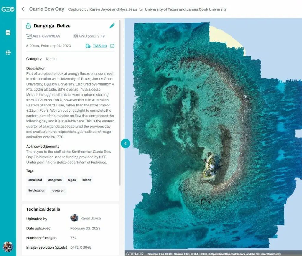
Carrie Bow Cay collected by Dr Karen Joyce – You can check out all of the drone mapping datasets she has captured here.
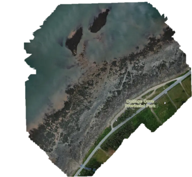
Cottage Cove, a region in Nova Scotia were locals have noticed significant coastal erosion in recent decades. Mapped by Nick Matuchet. View the dataset on GeoNadir.
Cutler Bay Wetland, where they are tracking restoration success through species mapping. Mapped by Sara Durgan. View the dataset on GeoNadir
Getting started with no drones
If you are wanting to ‘dip your toes’ into this data analysis piece, without the expense of buying a drone just yet, then you can explore the global repository of drone data on GeoNadir for free.
You can also do our Map My School program, which uses the satellite base imagery on GeoNadir to map the amount of shade on your school grounds. This is a really practical activity for your students and has a lot of extension activities.
Getting started with geospatial data analysis just got a whole lot easier with GeoNadir, and we are here to help you add a new layer to your courses, with the introduction of drone mapping data!
GeoNadir - Simple and affordable data analysis for schools
We understand the budget constraints teachers and schools have, and the expense of other drone mapping software. GeoNadir has designed the platform to be accessible for schools, providing teachers with the features they need, and also affordable.
Here is how it works for teachers:
A workspace is created for the lead teacher, and they can add their students into the workspace, having full control of the account and access permissions.
Individual student project spaces can be created so students can analyse the data. Teachers can view the student progress at anytime and provide live feedback into the student project.
Data collected by the class is uploaded to the workspace and all the students have access to the processed data.
GeoNadir EDU pricing
A GeoNadir Education workspace is available for teachers with a .edu email address. Click here to purchase from the She Maps shop.
This provides an increase in the number of projects and editors when compared to the standard GeoNadir Professional subscription benefits, as well as a discount on the pricing.
Create 30 projects for analysing data (enough for one project space per student)
Invite up to 30 editors to the workspace (enough for a class)
Education Price – AUD $845 / USD $550
* If these limits are not enough, get in touch and the team can help.
Let's go!
Let us take the tech problems out of using drones, and with the support from both She Maps and GeoNadir, we will get you and your students flying!
If you are interested in getting started, just get in touch and the She Maps team.
About She Maps.
She Maps is Australia’s leading expert in drone and geospatial education.
She Maps assist schools with the purchasing of drones, school-industry created drone and geospatial teaching resources and highly supportive teacher professional development.
FREE eBook – How to start a drone program at your school – Teachers Guide – Download Now
Learning Solutions Guide – Programs, Products and Pricing Guide – Read now
Ready to buy drones for your school? Browse our convenient classroom kits!
You’re in Safe Hands!
She Maps is a CASA approved commercial operator to fly microdrones indoors with students and teachers. CASA holds commercial operators, to a higher standard than recreational users and educators. This means that She Maps has been assessed by CASA as having rigorous training and risk mitigation procedures in place.
Want some help?
Schedule a call with one of our team members to get some personalised recommendations.
Take our resources for a spin and join the thousands of teachers who love our ready-to-teach classroom materials. Try one of our complete units of work for free.