Partner with Us
Help us inspire the next generation of experts to overcome the skill shortages in the spatial industry.

of children draw a man when asked to imagine a scientist
of university and VET STEM
graduates are female
of STEM jobs are
filled by females
We want to partner with more surveying and geospatial companies to improve these statistics
She Maps is a proud Australian Social Enterprise with an international footprint. We connect and collaborate with schools, academia, and industry to teach powerful, real world learning in the classroom with modern STEM technologies. In the light of the imminent workforce shortages in the surveying and geospatial industry, we believe that teaching spatial skills in schools will underpin the growth of companies and our communities in a data analytics hungry fifth industrial revolution.
And as a certified Social Enterprise that is deeply invested in eliminating bias and embracing diversity, we want to see more girls take up jobs in STEM and geospatial careers. We do this by building teacher and student capabilities and confidence with STEM, as well as engaging, educating, and empowering diverse and underrepresented sectors of our community., but we can’t create the change alone. Help us create a stronger, more diverse and empowered STEM and geospatial workforce by partnering with us.
Why Partner with She Maps?
We understand teachers
Our programs are designed by qualified educators, led by Dr Karen Joyce who has 20+ years' experience as a geospatial scientist and educator, and Paul Mead who has 20+ year leading and training teams, and teaching youth.
Our impact scales through partnership
We are a certified Social Enterprise, and only work with partners who are committed to supporting our Cultural Heart. We recognise that we can go further if we work with others to raise awareness, support schools, and inspire youth.
We Show It, So Students can Imagine Being It
We show a diversity of role models in our community who are using STEM, so that students are exposed to a more modern role modelling approach and feel confident and inspired in following their footsteps.
Real-world learning
We link learning with the real world by connecting our classroom materials and programs and resources to real-world scenarios and case studies. Our materials are created with industry stakeholders to ensure relevance.
Partnering for Purpose
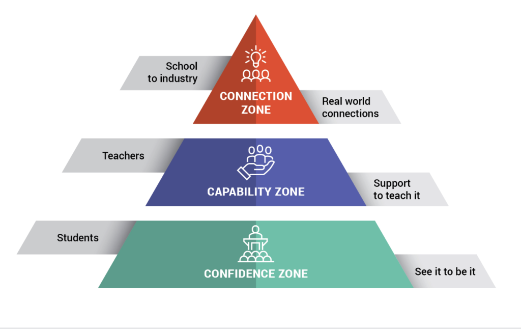
Our partnerships are built upon the three areas in which we drive impact.
On a foundational level, we build confidence in students and inspire diversity in STEM with inclusive messages and positive role modelling. To drive long-term impact, we build teacher capabilities in learning how to teach our programs to future generations. Lastly, we provide invaluable industry connections and raise awareness of the career opportunities within the STEM field and the spatial industry in particular.
Ways to contribute
There are several ways businesses in the geospatial industry can contribute to our cause, aiming for the same goal: To inspire and equip the next generation of spatial experts.
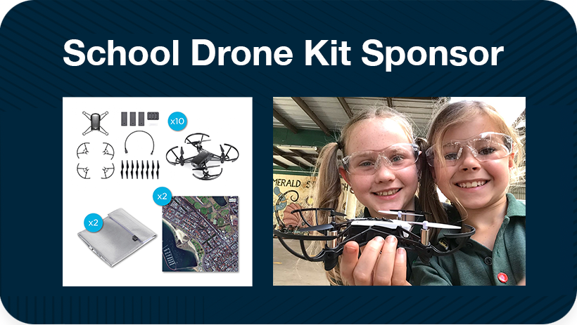
Gift a drone kit to a school
Being a supporting force to overcome the workforce shortage can feel like a big task. But what if we tell you that a simple act like donating a drone kit to a school can have years of impact and reach hundreds of students that will now learn how to fly and code drones, thanks to you. Our classroom drone kits aren’t expensive and come with 12-months technical support by a She Maps instructor. Whether you have a school in mind that you would like to equip with drones or not, She Maps will help you to make sure that your contribution creates maximum impact.
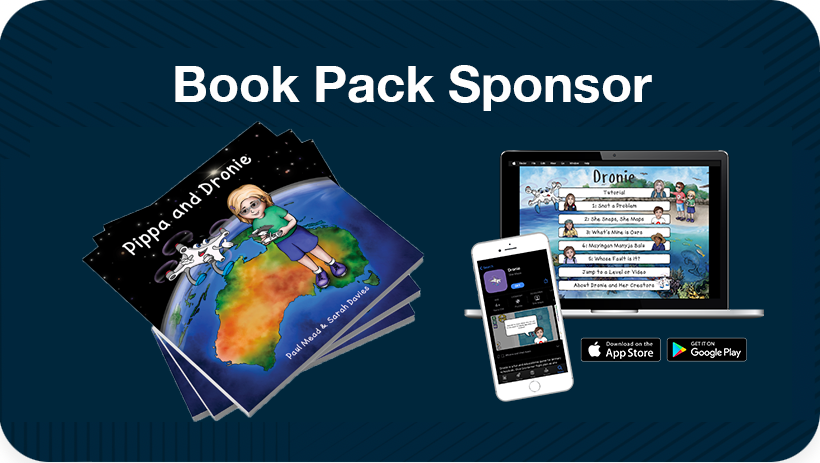
Gift a book set & coding game
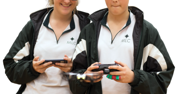
Pippa and Dronie is a beautifully illustrated book for young readers aged 5 to 9, celebrating diversity in STEM.
The book features six real women doing amazing work with drones. Gifting a book set to a school in your area is guaranteed to capture the attention of students as they learn how these amazing role models use drones to take photographs, gather data and solve some of the world challenges.
Book set includes: Illustrated books, lesson plans, block coding app, web-based game, image mat, and free printables. Find out more.
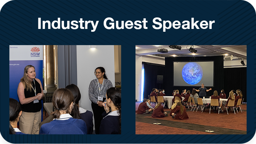
Contribute as a Guest Speaker
Do you want to get more students interested in the geospatial industry but lack the funds to sponsor a school with drones? We are always looking for industry and university professionals around Australia to inspire students and teachers as a guest speakers at our popular EduDrone webinars, teacher professional development workshops, conferences or even a student incursions at a school. Topics may cover career opportunities of the geospatial industry, future skill demands and global applications of drone tech and geospatial information systems. Express your interest below.
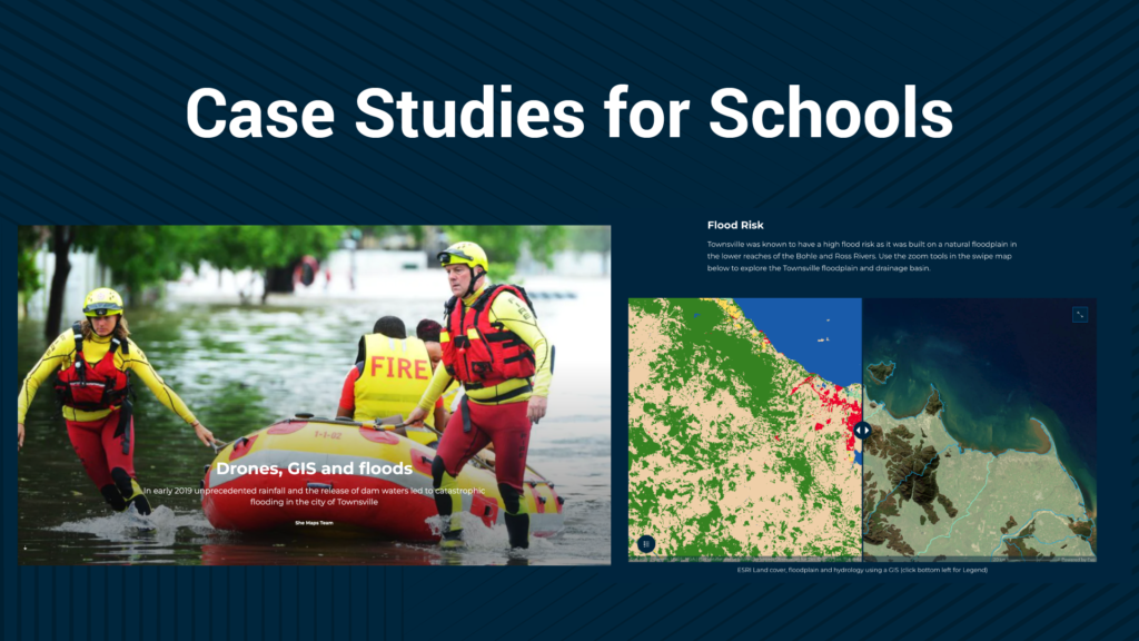
Provide Case Studies & Data
Are you a business that works in the geospatial field? We are always looking for case studies and real world stories to incorporate into our teaching resources. If you have an interesting project that you or your organisation has worked on, and the data is publicly available, then our teachers and students would love to hear about it and use it as an example of real-world education.
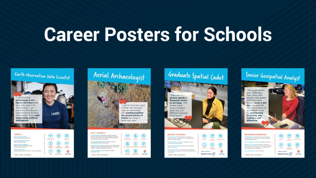
Join Our Career Poster Series
We would love to feature any outstanding drone or geospatial experts in our series of career posters, used to inspire students to pursue a geospatial career.
We’re particularly interested in career stories from women, culturally diverse backgrounds and representatives from the LGBTQI communities.
Major Partners
Major Partners help us undertake large projects and bridge the gap between education, industry, and government.
Geospatial Council of Australia (GCA)
The Geospatial Council of Australia represents the interests of professionals in the surveying and spatial sciences industries and
provides services for bodies engaged in those industries and their members. We have partnered with GCA to develop a detailed plan for the delivery of geospatial career-based information to teachers, career advisers and students including the design of student materials.
Australian Government Department of Education
Department of Industry, Science and Resources
Australia-ASEAN Council, DFAT
WeRobotics
EC by Go1

DroneBlocks
Bennett + Bennett
Bennett + Bennett are over 55 years in the making and are a dynamic group of Surveying, Planning and Digital Engineering
specialists. Our operations cover SE QLD, Northern NSW and extended across the country on major infrastructure projects.
We work on the most iconic property development, construction, and infrastructure projects, and we’re currently helping to deliver over $25bn worth of these projects.
Our owners are driven to grow our business and provide opportunities for our +150 staff.
Competition Sponsors
Our Competition Sponsors sponsor our Map My School Competition to provide prizes to our winning schools.



Industry Curriculum Partners
We bring real world learning to the classroom, through the knowledge and experience of our Industry Curriculum Partners
Swoop Aero
Nepal Flying Labs
We're here to help...let's talk!
Schedule a meeting with She Maps at a time that is convenient for you.
What's new!
For the latest tips, tricks, and news, check out our most recent articles.
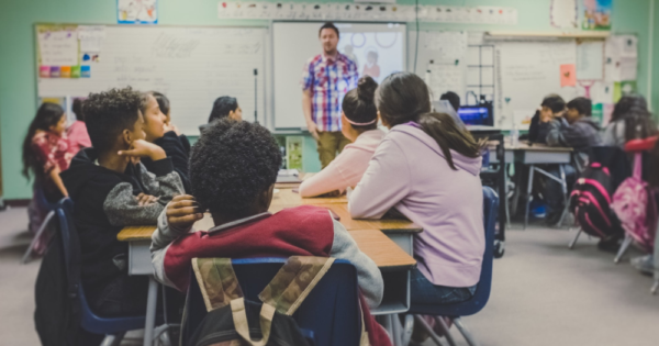
5 Diversity Benefits in Schools
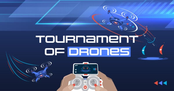
How to run a Tournament of Drones at your school
