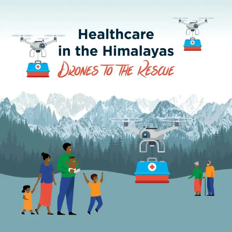
Healthcare in the Himalayas – Drones to the Rescue
Katie Vidal
28 Sep 2022
Essential care in the Himalayas
How does a community access healthcare in a remote area? Especially when you live in the Himalayas and you have 8 of the top 10 tallest mountains, including Mt Everest!
Access to healthcare is a challenge in many remote regions of the Himalayas, as patients and healthcare workers have to walk for hours or even full days along steep, winding tracks between villages and the nearest hospital.
WeRobotics and Nepal Flying Lab want to challenge students to design a drone delivery system that is sustainable and time efficient so that remote communities can gain access to healthcare.
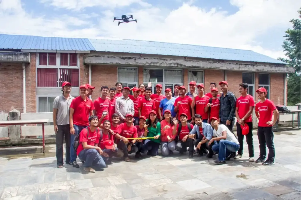
WeRobotics and the Flying Labs
More than 80% of people in Nepal live in rural areas, and 50% of them do so in isolated mountainous locations with little access to medical care. The majority of the nation’s healthcare institutions are not reachable via roadways.
In rural Nepal, the journey between a hospital and a healthcare centre typically takes six to eight hours. Since patient samples may only be analysed at diagnostic labs in major cities, this results in shortages of vital medications and explains why it can take so long to test patients for diseases like tuberculosis (TB).
About 70% of Nepalis are TB carriers, and many of them have the full-blown illness. In Nepal, TB is the fourth-leading cause of mortality and the primary infectious disease killer.
She Maps worked closely with the Nepal-based chapter of the WeRobotics Flying Labs, and its coordinator, Uttam Pudasaini to identify a real world challenge that was curriculum linked and could be simulated with microdrones. Check out Uttam’s awesome EduDrone presentation, where he shared some of the different projects that the Nepal Flying Labs work on, such as disaster mapping, tracking receding glaciers, and developing a drone delivery network to fight Tuberculosis in remote regions of Nepal.
Resource Tour for Teachers
The following resource tour takes you through all that our teaching resources have to offer for Yr 5-6 and 7-10.
What is in the Healthcare in the Himalayas resource pack?
If you currently have a She Maps Membership, then you can access the Unit of Work at no extra cost.
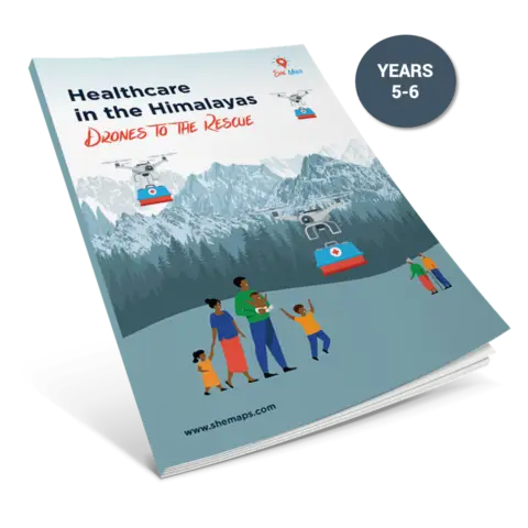
If you are not a member, click on the images below to discover more about the individual packs for primary and secondary students. These can be purchased for $39 AUD.
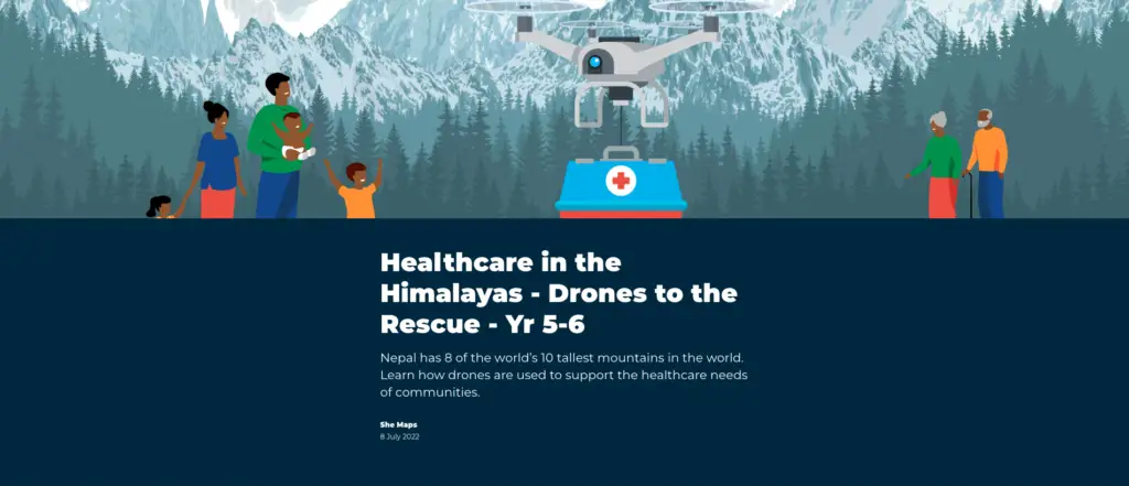
Click on the image to discover more about the primary resources
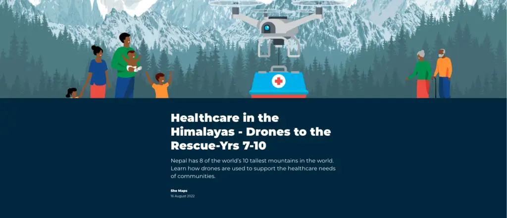
These resources are mapped to the Australian Curriculum for Geography, Maths, Digital and Design Technologies for Years 5-6 and Years 7-10.
Complete with Curriculum Mapping, Lesson Sequence, Student Activity Sheets, StoryMap and Assessment Rubrics, this unit was designed as a transdisciplinary resource.
This enables the unit to be taught by either a single instructor or in collaboration across topic areas, it has been designed in modules. Each module’s content has been defined, and these modules can be changed to meet your student’s needs and your school’s philosophy.
Nepal Flying Labs needs assistance to design and plan a drone system that will fly medical samples and/or medication from medical centres into central hospitals.
Students in primary and secondary classrooms will:
evaluate the fastest system for medical delivery in remote areas of Nepal
design and construct a model drone attachment that will successfully simulate a method to carry medical supplies and patient samples
manually and autonomously fly a drone to simulate delivery of the medical supplies
understand how drones can be used to overcome humanitarian challenges.
Click on the image to discover more about the secondary resources
We use StoryMaps to create interactive resources that teachers can present with and students can flow easily. Each chapter in the StoryMap links to the Lesson Sequence. Incorporating geospatial resources and multi media.
Don’t have access to She Maps STEM Lessons and Professional Learning?
Don’t worry, it’s super easy to sign up for an annual membership.
Click here to purchase a She Maps Membership for just A$240 per annum and get full access to Healthcare in the Himalayas activity, including:
Lesson Plans
Curriculum Mapping
Assessment Rubric
Activity Sheets
Your membership alsogives you access to our most popular STEM professional learning courses –Classroom Drone Essentials andMap My School, as well as HEAPS of other great classroom resources including Drone Club, Pippa and Dronie, and Industry professional poster pack.
You can also purchase this resource as a stand-alone pack. Click on the images below.
She Maps is Australia’s leading expert in drone and geospatial education.
She Maps assist schools with the purchasing of drones, school-industry created drone and geospatial teaching resources and highly supportive teacher professional development.
FREE eBook – How to start a drone program at your school – Teachers Guide – Download Now
Learning Solutions Guide – Programs, Products and Pricing Guide – Read now
Ready to buy drones for your school? Browse our convenient classroom kits!
You’re in Safe Hands!
She Maps is a CASA approved commercial operator to fly microdrones indoors with students and teachers. CASA holds commercial operators, to a higher standard than recreational users and educators. This means that She Maps has been assessed by CASA as having rigorous training and risk mitigation procedures in place.
Want some help?
Schedule a call with one of our team members to get some personalised recommendations.
Take our resources for a spin and join the thousands of teachers who love our ready-to-teach classroom materials. Try one of our complete units of work for free.