In an era where technology is advancing at an unprecedented pace, it’s essential for educational institutions to adapt their teaching methods to prepare students for the future. One area that has seen remarkable growth in recent years is the integration of educational drones into STEM (Science, Technology, Engineering, and Mathematics) education. These unmanned aerial vehicles aren’t just gadgets for enthusiasts; they’re powerful educational tools that are transforming the way students learn about STEM careers.
Drones, once primarily associated with military and recreational use, have found a new role in education. Educational institutions, from primary schools to universities, are incorporating drones into their curricula to engage students in hands-on learning experiences. The versatility of drones allows educators to teach a wide range of STEM concepts across various disciplines.
Bridging curriculum with real-world applications
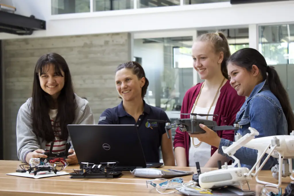
One of the significant advantages of using educational drones is their ability to bridge theoretical concepts with real-world applications. For example, students studying physics can learn about aerodynamics by understanding how drones achieve lift and maneuver through the air. Similarly, students interested in engineering can explore the design and construction of drones, gaining insights into mechanics, materials, and electronics.
Fostering creativity and problem-solving skills with drone technology
Working with drones encourages students to think critically and creatively. When faced with challenges such as programming flight paths or troubleshooting technical issues, students must employ problem-solving skills and apply their knowledge of STEM principles. These hands-on experiences not only deepen their understanding of the subject matter but also foster essential skills for future careers in STEM fields.
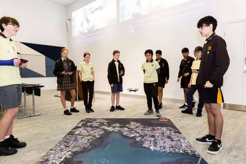
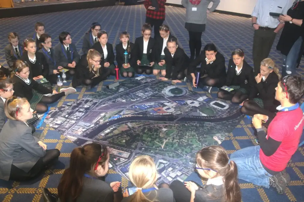
Drones across the geography curriculum
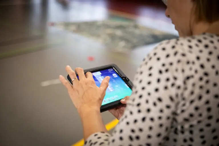
The applications of drones in education extend beyond just one discipline. In Geography students capture aerial footage with the drone, analyse the data, which also includes inclass discussions and comparisons. This may involve identifying geographical features, measuring distances, or creating maps using geographic information systems (GIS) software such as GeoNadir. Encouraging students to compare the drone imagery with other sources, such as maps or satellite images, to gain a deeper understanding of the landscape.
Cultivating collaboration and teamwork in technology
Many drone-based educational activities involve teamwork, mirroring the collaborative nature of STEM professions. Students often work in groups to plan and execute drone missions, requiring effective communication, delegation, and cooperation. By working together towards a common goal, students develop interpersonal skills that are invaluable in any STEM career.
Preparing students for future technology
As technology continues to advance, drones are becoming increasingly prevalent in various industries, from agriculture and construction to transportation and emergency services. By introducing students to drones in an educational setting, we are preparing them for the technological landscape they will encounter in the workforce. Whether they pursue careers in robotics, aerospace engineering, data analytics, or any other STEM field, the skills and knowledge gained through drone education will serve them well in the future.
The potential of drones in curriculum
Drones are not just gadgets; they are powerful educational tools that have the potential to inspire and empower the next generation of STEM professionals. By integrating drones into education, we can make STEM curriculum more engaging, relevant, and accessible to students of all ages and backgrounds. As we continue to harness the potential of drones in education, we are not only preparing students for the future but also shaping a world where innovation and discovery thrive.
About She Maps.
She Maps is Australia’s leading expert in drone and geospatial education.
She Maps assist schools with the purchasing of drones, school-industry created drone and geospatial teaching resources and highly supportive teacher professional development.
FREE eBook – How to start a drone program at your school – Teachers Guide – Download Now
Learning Solutions Guide – Programs, Products and Pricing Guide – Read now
Ready to buy drones for your school? Browse our convenient classroom kits!
You’re in Safe Hands!
She Maps is a CASA approved commercial operator to fly microdrones indoors with students and teachers. CASA holds commercial operators, to a higher standard than recreational users and educators. This means that She Maps has been assessed by CASA as having rigorous training and risk mitigation procedures in place.
Want some help?
Schedule a call with one of our team members to get some personalised recommendations.
Take our resources for a spin and join the thousands of teachers who love our ready-to-teach classroom materials. Try one of our complete units of work for free.