How to use programmable drones in schools to teach maths with modern teaching methods
Leah Francis
12 Apr 2023
Programmable indoor drones are a powerful tool for high school students to learn mathematical skills in a hands-on, practical, and engaging way. Recent studies have shown that the maths outcomes for Australian school students are declining. One reason that some students struggle to engage with maths is due to its abstract nature, meaning students struggle to relate to or visualise complex mathematical ideas. Recognising this, schools and teachers are looking for maths resources to better engage their students in mathematics in ways that reflect real-world experiences both now and in the future.
Australia’s national curriculum sets out to ensure that students not only understand mathematical concepts, but that they have the skills to demonstrate their mathematical understanding. This is why it is so important to ensure that maths resources in the classroom provide opportunities for students to be ‘hands-on’ and apply their knowledge through doing. Here is where drones come into play.
Using drones to teach maths with real-world learning scenarios
Using real-world scenarios that require students to investigate different ways to solve a problem is an effective way to engage students in mathematical learning. Knowing how to use a specific mathematical formula to work out the answer to a test question is important, but in today’s world, students need to be problem solvers, creative thinkers, and innovators. They need to be able to make connections between the different branches of mathematics and understand the way that different mathematical principles apply to different situations.
When teaching with drones, its not about the drones themselves. It’s about the authentic, real-world mathematical applications that using drones offers.
How many times have students asked, ‘when will I ever use this in real life?’. Applying mathematical knowledge to design flight paths, program and fly drones, provides this real-life scenario. With the drone industry expanding at the rate that it is, we can confidently assume that drones will be part of all our students’ futures.
How to use drones to teach geometry
There are several ways that drones can be used to as a resource to teach mathematical skills.
For example, programmable drones can be used to teach geometry. This is done by having students program a drone to fly specific shapes and angles. To do this, students need to apply their knowledge of angles to calculate the turns and distances the drone will fly to create the desired shape. What better way to show the real-world applications of Pythagoras’s theorem than to have students solve measurement problems involving unknown lengths of right-angle triangles for a drone mission!!
The best part in all this is that She Maps has done all the maths lesson planning work for you. Check out our Healthcare in the Himalayas unit of work, a complete teaching resource containing curriculum mapping, lesson sequence, student activity sheets, StoryMap and assessment rubrics!
Educational drones can also be used as a modern teaching method to teach measurement. Using microdrones, students can measure vertical and horizontal distances as well as the distance between two points, the height of a building, or the angle of a slope. This can help students understand concepts such as perimeter, area, and volume. Make the learning more exciting by presenting students with a real-world drone mission, such as delivering supplies or surveying an area. Students can then use appropriate metric units to solve measurement problems involving the drone mission. They will be so engaged in the scenario that they won’t even realise they are doing maths!
Take some time to discuss the real-world applications of drone-based measurement, such as surveying, mapping, and disaster response. This can help students understand the importance of measurement in various fields, and how technology can be used to make measurements more accurate and efficient.
Using drones to teach data representation and interpretation
One of the reasons drones are being used extensively in different fields is because of how effectively they can collect data. This is due to the significant improvements in camera and AI technology in recent years. Drones can be used to teach data analysis by having students use the drone to collect data such as images, temperature, or altitude. Students can then analyse and represent the data by creating an infographic using mathematical concepts like mean, median, and standard deviation.
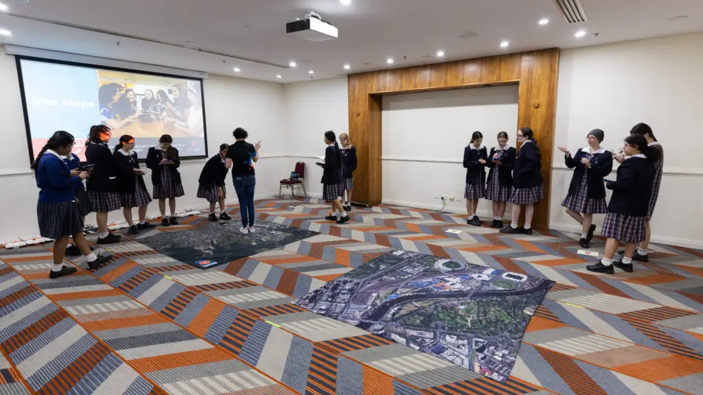
The good news is that you can create a real-world data collecting scenario in your classroom using one of our image mats. These aerial image mats are great for creating real-world scenarios, where students can fly their drone over the mat to collect image data for a specific purpose. For example, students could collect data on how much open space is available in a geographical location and analyse that data to propose the best location for a new community park.
Using programmable drones in the classroom to teach maths
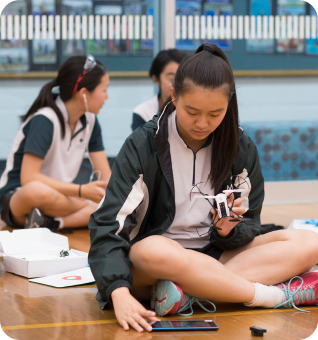
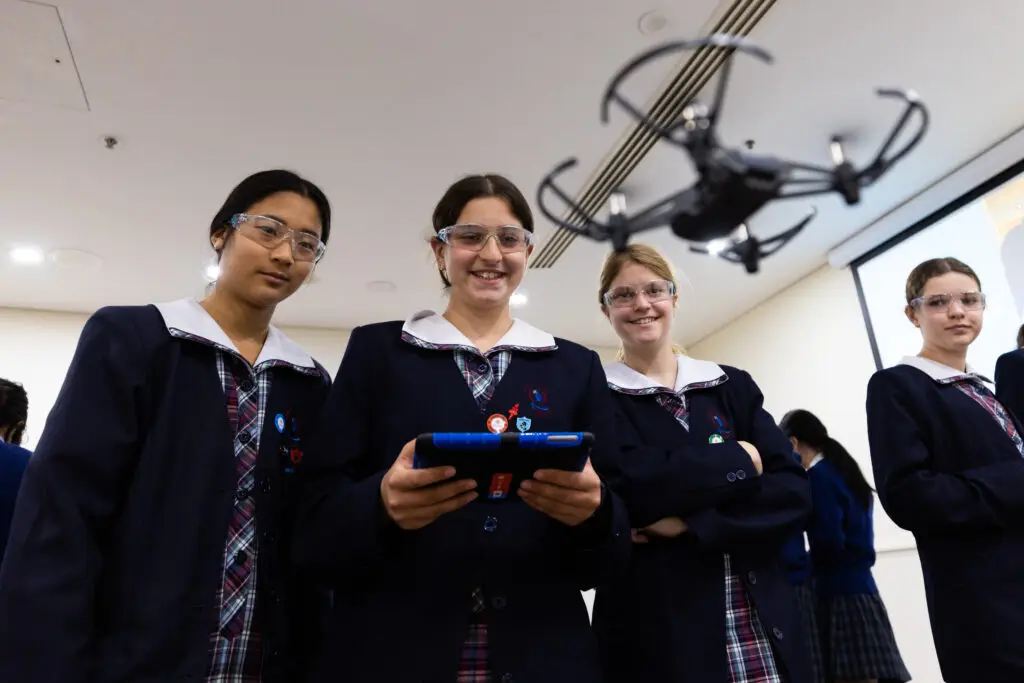
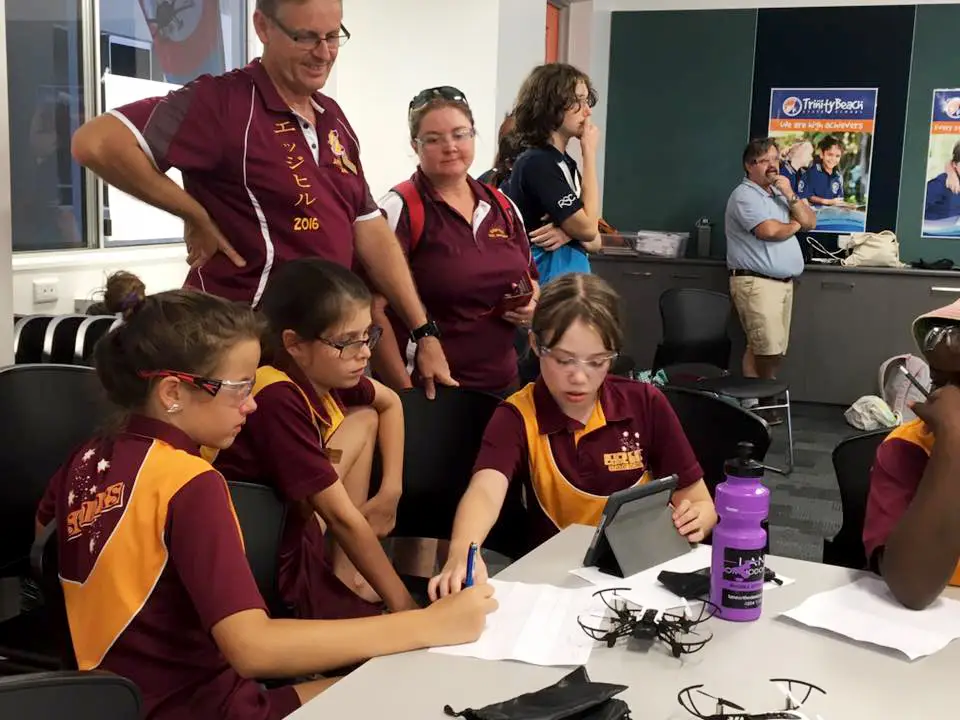
Teaching with drones does not mean that you need to purchase expensive outdoor drones. We always recommend that people fly with the smallest drone that will suit the purpose. Microdrones can be used to simulate a range of real-world situations and as a bonus, multiple people can be flying at the same time, and they can be flown indoors! This makes microdrones the perfect fit for using in maths lessons. Click here to see what is included in our Microdrone class kits.
Drones can improve learning by bringing mathematical concepts to life. Overall, using educational drones to teach mathematical skills can make learning more engaging and hands-on for students, while also helping them to develop important critical and creative thinking, and problem-solving skills. It can also help students understand real-world applications of math concepts.
Ready to start using educational drones to teach maths?
All you need to get started teaching maths with programmable drones in schools is a kit of safe, reliable and easy to use drones (we recommend the Robolink CoDrone EDU as they tick all of these boxes), and classroom maths resources and teaching materials such as those available on our She Maps Membership online portal. There, you can also find our suite of professional development content, available at your finger tips 24/7.
Need more help? Reach out to our friendly team and we would be delighted to guide you on how to introduce microdrones into your maths lessons effectively.
About She Maps.
She Maps is Australia’s leading expert in drone and geospatial education.
She Maps assist schools with the purchasing of drones, school-industry created drone and geospatial teaching resources and highly supportive teacher professional development.
FREE eBook – How to start a drone program at your school – Teachers Guide – Download Now
Learning Solutions Guide – Programs, Products and Pricing Guide – Read now
Ready to buy drones for your school? Browse our convenient classroom kits!
You’re in Safe Hands!
She Maps is a CASA approved commercial operator to fly microdrones indoors with students and teachers. CASA holds commercial operators, to a higher standard than recreational users and educators. This means that She Maps has been assessed by CASA as having rigorous training and risk mitigation procedures in place.
Want some help?
Schedule a call with one of our team members to get some personalised recommendations.
Take our resources for a spin and join the thousands of teachers who love our ready-to-teach classroom materials. Try one of our complete units of work for free.