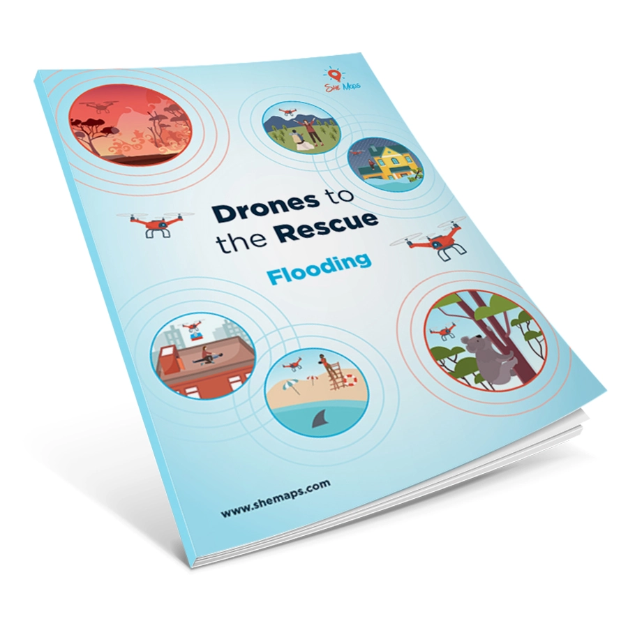
Queensland is no stranger to natural disasters such as cyclones, floods and bushfires, but climate change is now impacting on the intensity and frequency of these natural hazards. In early 2019 a major flood event occurred in the city of Townsville and surrounding areas, on the eastern coast of Queensland, Australia.
This inquiry follows a case study approach using a StoryMap, to investigate the causes and impacts of one of the most common and costly hazards in Australia. It will focus on emergency responders using drones and GIS to eliminate or minimise the risk of natural hazards to people and the environment.
Lesson 1: Causes of the 2019 floods
Lesson 2: Impacts of a disaster
Lesson 3: Drones to the rescue
Lesson 4: Using a GIS
Lesson 5: Recovery and Resilience
Learning Intentions
-
Identify and explain key causes that contributed to the 2019 flood event in Townsville
-
Observe and describe floods from a temporal and spatial perspective
-
Identify and explain social, economic and environmental impacts on people and places
-
Use manual and coded flight skills to simulate a real world response using drones
-
Explore flood response and recovery using a GIS
Subject Focus
- Geography
- Digital Technologies
- Design Technologies
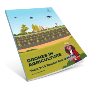
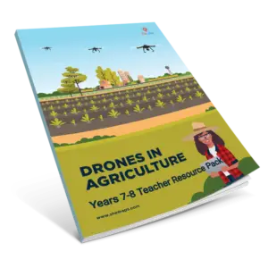
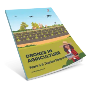
What’s in the pack? Explanatory video, Lesson Sequence, Assessment Rubrics, Activity Sheets, StoryMap, Curriculum Map, and Teacher Notes.
Read our blog post that shares more information about the resource. All units of work designed and created by She Maps are linked to the Australian Curriculum across multiple learning areas both inside and outside the STEM-identified subjects. By using these programs you help to equip your students with the necessary STEM skills and knowledge that will enable them to engage with the careers of the future. Working in collaboration with schools we set out to achieve the five strategies of action outlined in the
Australian STEM education strategy. Please note this virtual resource will be available for download as soon as we have received your purchase order / payment.