
Mapping Coastal Change: GIS & Drone Technologies in Education
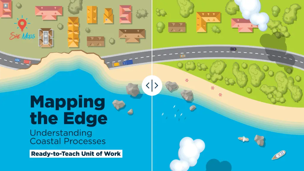
Coastal erosion is a powerful force shaping our shorelines, and understanding its causes and impacts is crucial for sustainable management. The unit of work Mapping The Edge: Understanding Coastal Processes by She Maps offers an engaging, real-world approach to exploring coastal environments for Yrs 8 and 10 using drone imagery, GIS technology, and spatial analysis. […]

