Drones in Mining
Geospatial, Surveying, and Smart Mining
Introduce students to how drones and digital technologies are transforming one of Australia’s most critical industries. In this hands-on unit, students explore real-world mining challenges through simulated drone surveying, coding, data analysis, and design thinking.
Designed for Years 7–10
Digital Technologies | Geography | Science | Economics & Business
Why teach drones in mining?
Mining underpins modern life – from smartphones and renewable energy to infrastructure and transport. Yet many students have limited understanding of how the industry operates today, and how technology is reshaping it.
This Years 7–10 unit introduces students to the critical role mining plays in our society and how digital technologies, particularly drones, are transforming the industry. Students explore why mining matters, the processes involved, and the importance of surveying in ensuring mining operations are safe, efficient, and environmentally responsible.
What students explore
Across a sequence of scaffolded lessons, students take part in a simulated drone surveying mission.

Iteration, problem-solving, and real-world application

Design and build model mine sites

Plan, code, and test drone flight paths

Analyse simulated drone data to support decision-making

Use mathematics and spatial reasoning to measure terrain and stockpiles

Reflect on how drone technology is used in modern mining operations
Differentiated by year level

Year 7: Mining operations
Students explore how drones are used for stockpile measurement, site monitoring, and improving productivity and safety.

Year 8: Environmental compliance
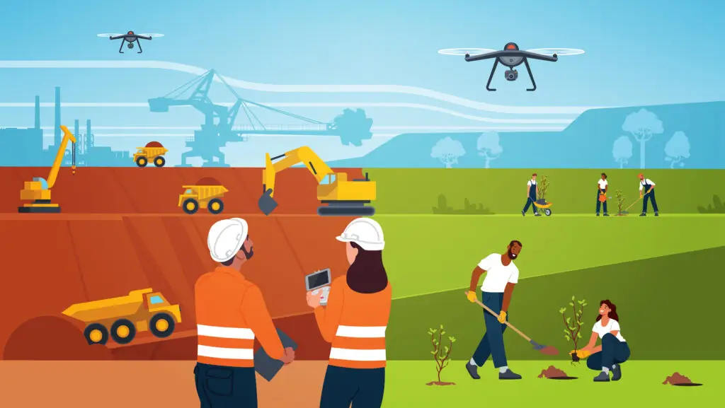
Students investigate how drones collect environmental data, support sustainability and regulatory compliance, and monitor impacts on land and ecosystems.

Year 9-10: Mine closure & rehabilitation
Students examine how drone technology supports long-term environmental monitoring, mine site rehabilitation, and responsible resource management and closure planning
What teachers get
- Lesson sequence and teaching notes
- Student activities and challenges
- Curriculum links for Geography and Digital Technologies
- Practical guidance for running a simulated drone surveying mission
Developed with and supported by industry

Developed with support from BHP
This unit was developed with the support of BHP, ensuring learning experiences are grounded in real-world industry practices and reflect how drone technology is used in contemporary mining operations. Industry partnerships like this help students see the relevance of STEM learning beyond the classroom and into future pathways.
Download your free resources here
Dive a little deeper!
Getting Started With Drones in Your Classroom
The ultimate teachers’ guide to get started with drones. Read about the six steps to launching a successful drone and geospatial program, and obtain compelling arguments why teaching with drones is invaluable for your school.
She Maps Product & Pricing Guide
All our products and prices in one place. Find out more about all our resources, see how our classroom materials align with the Australian Curriculum, and which products are the most suitable for your school.