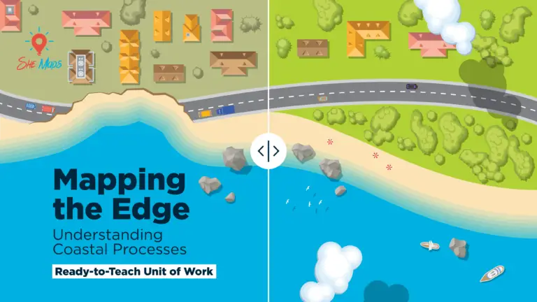
Coastal erosion is a powerful force shaping our shorelines, and understanding its causes and impacts is crucial for sustainable management. The unit of work Mapping The Edge: Understanding Coastal Processes by She Maps offers an engaging, real-world approach to exploring coastal environments for Yrs 8 and 10 using drone imagery, GIS technology, and spatial analysis. Teachers have everything at their fingertips to provide an in-depth exploration with current resources, linked to V9 of the Australian curriculum.
Why coastal erosion matters
Coastal erosion is both a natural process and a human-influenced challenge. Rising sea levels, extreme weather events, and human development all contribute to the reshaping of coastlines. This resource helps students investigate:
The causes and consequences of coastal erosion.
How human activities accelerate or mitigate erosion.
The environmental, economic, and social impacts of coastal changes.
The role of technology, including drones and GIS, in monitoring erosion.
This is all linked to V9 of the Australian curriculum.
A hands-on approach to learning
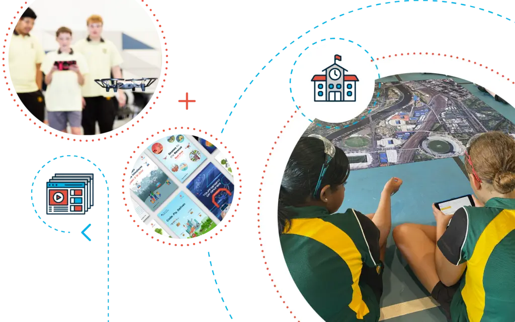
One of the standout features of Mapping The Edge is its interactive and inquiry-based learning approach. Students don’t just read about coastal erosion—they analyse real-world data, interpret drone imagery, and use GIS tools like Geonadir to assess erosion patterns. This hands-on experience fosters critical thinking, collaboration, and problem-solving.
Curriculum-aligned and future-focused
As previously mentioned, designed for Years 8 and 10, this resource aligns with V9 of the Australian Curriculum, making it easy for educators to integrate Geography, Science, and Digital Technologies lessons. It also prepares students for future STEM careers by equipping them with spatial analysis skills—essential for fields like environmental science, urban planning, and geospatial technology.
Drone and mapping resources at your fingertips
Students will explore the dynamic world of coastal change using cutting-edge digital tools such as drones, if your school has access to them, and Geographic Information Systems (GIS). By collecting, analysing, and presenting real-world data, they gain hands-on experience in understanding coastal processes and the impact of environmental shifts. Through critical thinking, collaboration, and ethical reasoning, students will assess various coastal management strategies, weighing their effectiveness against long-term sustainability. Armed with data-driven insights, they will propose informed solutions to the pressing challenges of coastal erosion, bridging scientific inquiry with practical environmental stewardship.
You can find the Mapping the Edge resource along with all the other currciculum aligned drone and mapping resources in the She Maps membership
A membership with She Maps provides the following:
🚀 Inspiring STEM Problem-Solvers 🔹 Discover how drones tackle real-world challenges in STEM.
📚 Curriculum-Aligned Across Key Subjects 🔹 Mapped to HASS, Geography, Science, Digital Tech, Maths & Design.
🎯 Ready-to-Teach Resources 🔹 Lesson plans, rubrics, multimedia presentations—all in one place.
🤝 Built by Educators, Backed by Industry 🔹 Real-world insights meet classroom innovation. Special thank to Javier Leon, Associate Professor in Physical Geography at the University of Sunshine Coast. He was instrumental in providing professional advice regarding coastal erosion processes.
Sign up for access to professional development and resources
Bringing coastal science to life
With lesson sequences, assessment rubrics, activity sheets, and a StoryMap, Mapping The Edge provides educators with everything they need to deliver an engaging and impactful learning experience. By exploring real-world coastal sites, students gain a deeper appreciation for the dynamic nature of our environment and the importance of sustainable coastal management.
Explore what Mapping the Edge has to offer in the video below.
About She Maps.
She Maps is Australia’s leading expert in drone and geospatial education.
She Maps assist schools with the purchasing of drones, school-industry created drone and geospatial teaching resources and highly supportive teacher professional development.
FREE eBook – How to start a drone program at your school – Teachers Guide – Download Now
Learning Solutions Guide – Programs, Products and Pricing Guide – Read now
Ready to buy drones for your school? Browse our convenient classroom kits!
You’re in Safe Hands!
She Maps is a CASA approved commercial operator to fly microdrones indoors with students and teachers. CASA holds commercial operators, to a higher standard than recreational users and educators. This means that She Maps has been assessed by CASA as having rigorous training and risk mitigation procedures in place.
Want some help?
Schedule a call with one of our team members to get some personalised recommendations.
Take our resources for a spin and join the thousands of teachers who love our ready-to-teach classroom materials. Try one of our complete units of work for free.