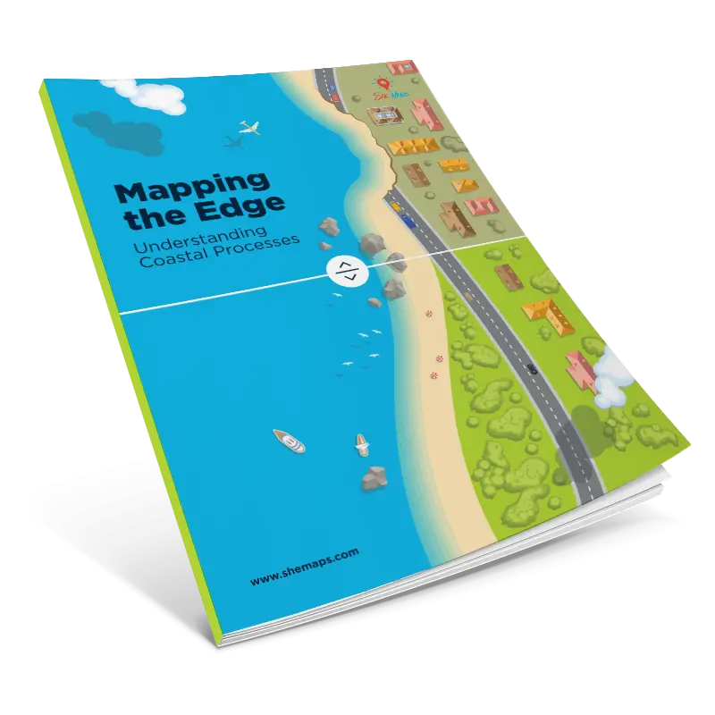
Mapping the Edge: Understanding Coastal Processes
This unit is grounded in the study of coastal environments, focusing on the processes, patterns, and human interactions that shape coastlines over time. Coastal erosion is explored as both a natural geomorphic process and a human-influenced challenge, with students investigating how physical geography, climate, and development pressures combine to reshape the coastal zone.
Students will examine real-world coastal sites, particularly within Australia but with opportunities for comparison to international examples. Through the use of spatial technologies such as Geographic Information Systems (GIS) and drone imagery, students will learn to collect, analyse, and interpret spatial data related to erosion patterns, land use, and the effectiveness of different management strategies.
KEY INQUIRY QUESTIONS
- What are the causes and impacts of coastal erosion?
- How do human activities accelerate or mitigate coastal erosion?
- What are the environmental, economic, and social consequences of coastal erosion?
- What are the pros and cons of different coastal management strategies?
- How can technology, including drones, be used to monitor and manage coastal erosion?
- How can GIS technology be used to analyse and present geographic data?
- Who should be responsible for managing coastal erosion?
- What are the ethical considerations when deciding whether to intervene in coastal erosion?
LEARNING INTENTION
Students will explore the natural and human-driven causes of coastal erosion and investigate its environmental, economic, and social impacts. They will learn how to use digital tools such as drones and GIS to collect, analyse, and present data related to coastal changes. Through critical thinking, collaboration, and ethical reasoning, students will evaluate different coastal management strategies and propose informed, sustainable solutions to real-world coastal erosion challenges.
This e-book contains a full lesson sequence, assessment rubrics, activity sheets, StoryMap, curriculum map, and teacher notes.
All units of work designed and created by She Maps are linked to the Australian Curriculum across multiple learning areas both inside and outside the STEM-identified subjects. By using these programs you help to equip your students with the necessary STEM skills and knowledge that will enable them to engage with the careers of the future. Working in collaboration with schools we set out to achieve the five strategies of action outlined in the
Australian STEM education strategy.
Please note this virtual resource will be available for download as soon as we have received your purchase order or payment.