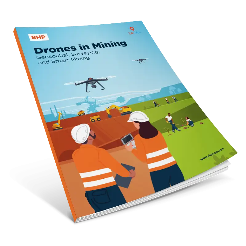
Drones in Mining: Mine closure & rehabilitation
Mining underpins modern life – from smartphones and renewable energy to infrastructure and transport. Yet many students have a limited understanding of how the industry operates today and how technology is reshaping it.
Developed in partnership with BHP, this drone-based resource is aligned with the national curriculum for Geography and Digital Technologies.
Geographical Context
In Year 9–10, students explore how mining activity shapes environmental change and how people manage landscapes through rehabilitation and closure processes. Through real geospatial industry examples, students investigate how mining alters landforms, ecosystems, and water systems, and examine strategies used to repair, restore and monitor post-mining environments.
Students analyse environmental compliance, the role of government regulations, and how technologies—including drones, digital twins, and geospatial data—support responsible land-use decision making. Understanding mine closure and rehabilitation allows students to consider how Australia balances economic benefit with long-term environmental sustainability, and how these decisions influence future land use, communities, and ecosystems at local and global scales.
Learning Intention
Students will learn to:
- Explain how mining closure and rehabilitation affect landscapes, ecosystems, and communities
- Describe reasons why environmental compliance and monitoring are required during and after mining
- Understand the importance of baseline data and long-term monitoring in environmental management
- Apply systems thinking to examine interactions between land use, industry, technology, and ecosystems
- Investigate how drones and spatial technologies support environmental decision-making
- Analyse geospatial data to assess environmental change and rehabilitation success
- Demonstrate how drone-based surveying contributes to compliance, safety, monitoring and environmental reporting