The She Maps Membership
A portal of professional learning and teaching resources, helping you use programmable drones in the classroom.

Professional development and teaching resources in one place
")
- Designed to inspire and educate students of the application of drones to tackle real world STEM challenges
- Mapped to the Australian Curriculum, across HASS, Geography, Science, Digital Technologies, Maths and Design & Technologies
- Ready-to-teach lesson plans, achievement standards, assessment rubrics & multi-media lesson presentations
- Developed by educators and co-designed by industry to help you teach using real-world examples
Recognised professional development
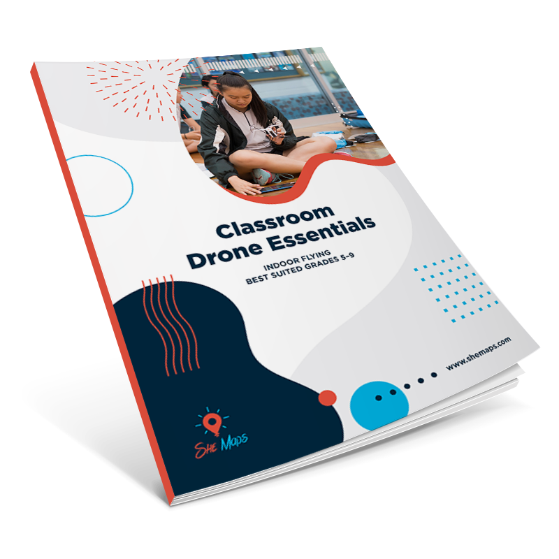
Classroom Drone Essentials
Yrs 5 - 10
Classroom Drone Essentials is both professional development and classroom resource. It teaches you about the different types of drones and their application in various industries, as well as provides a step-by-step guide on how to teach manual drone flying and coding drones using block coding.
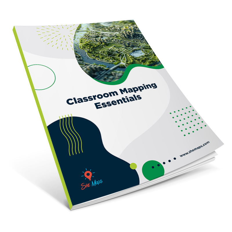
Classroom Mapping Essentials
F - 10
Classroom Mapping Essentials is designed to equip teachers with the skills to integrate mapping and geospatial applications in their lesson plans with confidence. Explaining historical and modern mapping conventions, along with foundational geospatial concepts, this is PD no geography teacher should miss.
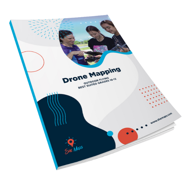
Advanced Drone Mapping
Yrs 10 - 12
Drone Mapping is designed for teachers planning on taking their students outdoors to undertake drone mapping activities with larger sub 2kg drones.
This course will teach you how to use your drone to capture, manage, and perform basic analyses of drone image data.
Ready-to-use classroom materials

Healthcare in the Himalayas
Yrs 5 - 9
Mapped to: HASS, Geography, Digital Technologies, Design and Technologies, Mathematics
A remote village in the mountains requires critical medical supplies. How can drones be used to solve logistical challenges and navigate through tough landscapes?

Drones in Agriculture
Yrs 5-6, 7-8 & 9-10
Mapped to: Science, Digital Technologies, Design and Technologies, Mathematics
Farmers face rising challenges such as resource constraints, battling pests, and protecting the environment. How can drones help grow healthier crops, manage animals, and produce food for the future?
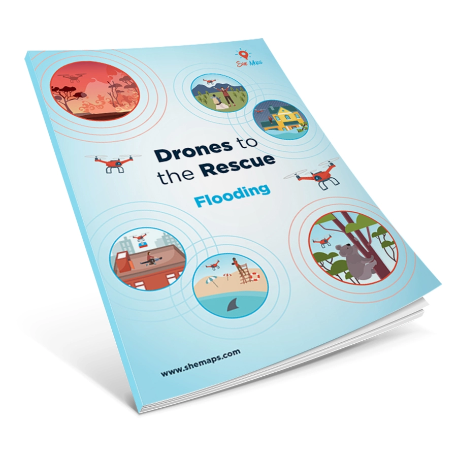
Drones to the Rescue - Flooding
Yrs 7-8
Mapped to: Geography, Digital Technologies, Design and Technologies
Floods can strike suddenly, cutting off communities, and putting lives at risk. How can drones and GIS be used to respond faster, reduce damage, and keep people safe when the waters rise?

Drones to the Rescue - Bushfires
Yrs 5-6 & 7-8
Mapped to: HASS, Geography, Science, Digital Technologies, Design and Technologies
Bushfires devastate landscapes and threaten countless animals and communities each year. How can drones and GIS be used to track their impact, support recovery, and build resilience for the future?
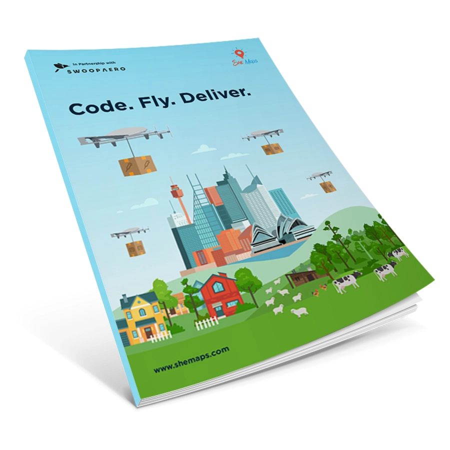
Code. Fly. Deliver.
Yrs 5-6 & 7-10
Mapped to: HASS, Economics & Business, Geography, Digital Technologies, Design and Technologies, Mathematics
From coffee to medicine, drones are transforming the way goods move around the world. How can drone delivery networks be designed to meet community needs and shape the future of logistics?

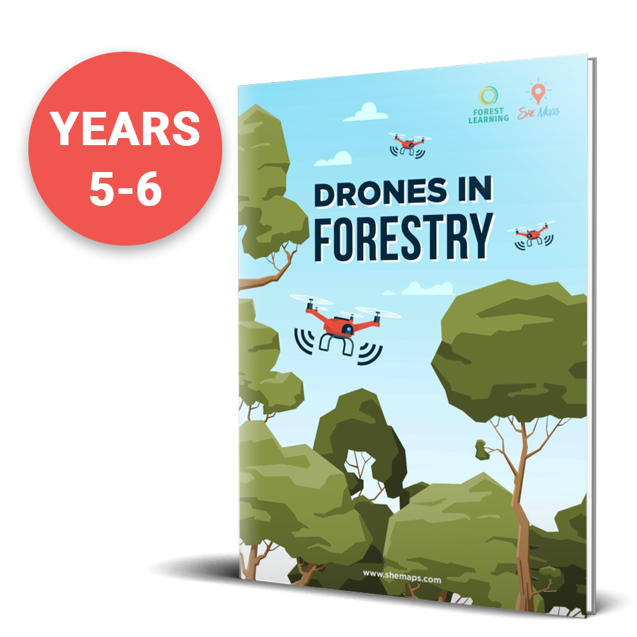
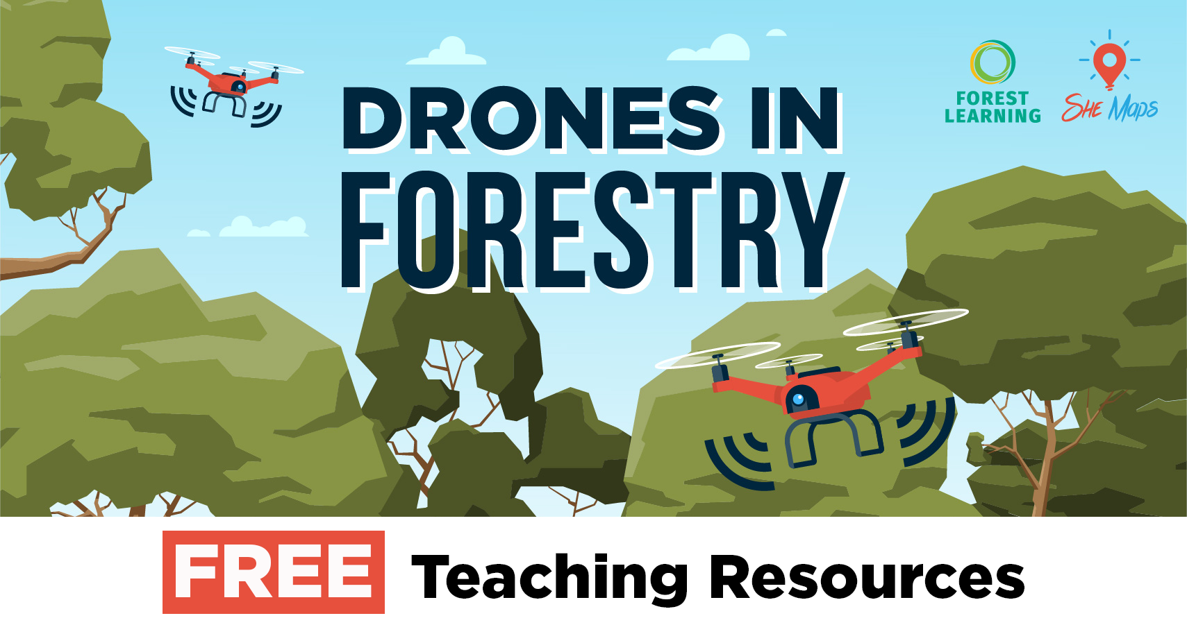
Drones in Forestry
Yrs 5-6 & 9-10
Mapped to: HASS, Geography, Digital Technologies, Design and Technologies
Forests are vital for our planet, but managing them sustainably is a complex challenge. How can drones and digital systems help protect these environments while providing the resources society depends on?

Map My School
Yrs F-8
Mapped to: HASS, Geography, Digital Technologies, Design and Technologies, Mathematics, Science
School grounds can get uncomfortably hot and lack shade, affecting students and the environment. How can satellite data and mapping tools help us measure and improve green spaces at our schools?
*Does not require the use of drones.

Map My Neighbourhood
Yr 7
Mapped to: HASS, Geography, Digital Technologies, Mathematics
The quality of public spaces shapes how liveable a neighbourhood feels, affecting everyone who lives, works, or visits there. How can geospatial tools help us understand and improve the places we call home?
*Does not require the use of drones.

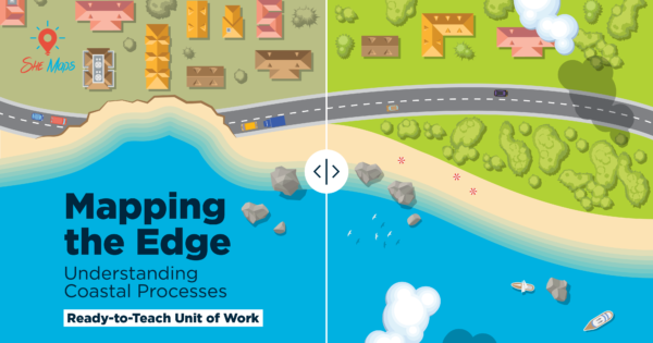
Mapping the Edge
Yrs 8 & 10
Mapped to: Science, Digital Technologies, Mathematics, English
Coastlines are constantly under threat from erosion, reshaped by both natural forces and human activity. How can drones and GIS be used to monitor these changes and support sustainable coastal management?
*Drones are optional to deliver this unit.

Litter Leaders: See it, map it, change it.
Yrs 1 - 6
Mapped to: Geography, Digital Technologies, Mathematics
Litter is piling up in communities, harming the environment and affecting everyone’s quality of life. How can GIS tools help students map waste and design action plans to create cleaner, more sustainable school grounds – and communities?
Industry resources
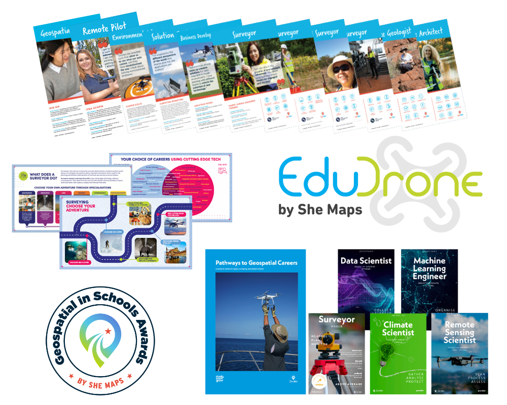
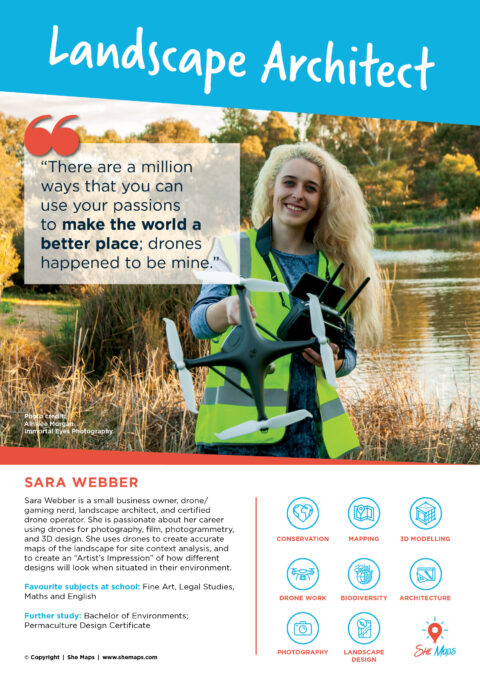
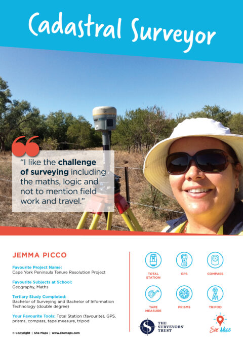
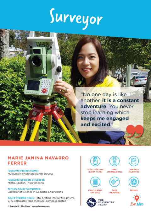
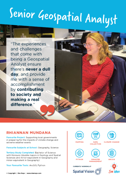
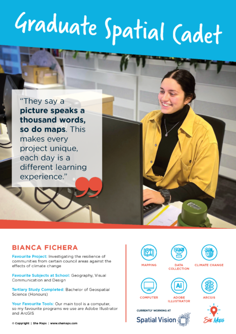
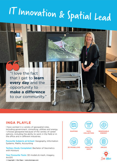
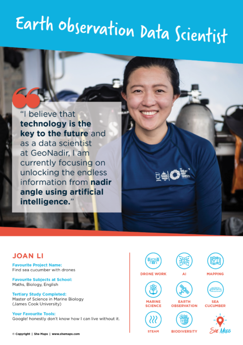
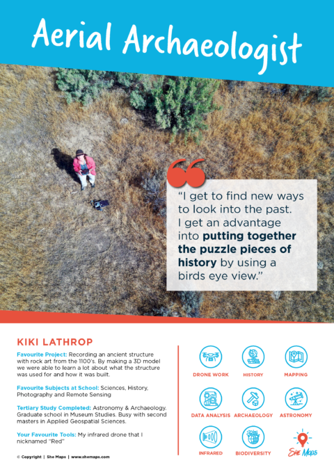
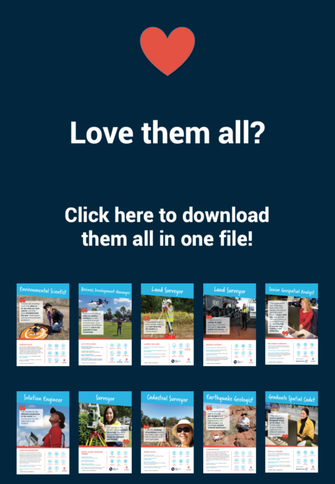
- Career Poster Series featuring women in geospatial roles to inspire more female students engage in STEM subjects
- Quarterly EduDrone STEMinars putting the spotlight on individuals, skills and new technologies within industry
- Geospatial in Schools Awards by She Maps, recognising teaching and learning excellence within the geospatial industry
- Information and guidance on career opportunities and pathways within the geospatial field
We believe teaching with drones should be easy and stress-free.
That’s why we made our membership an affordable, zero-fluff training platform to enable teachers of all skill levels to succeed with drones.
- One year of unlimited 24/7 access to the She Maps membership.
- 30-day money-back guarantee.
- 50% discount on second year renewals
Fly solo or sign up your whole team
Why schools love our teaching resources
Drone training
Utilise modern teaching tools and set your school apart from others
Digital technology
Equip students with 21-st century skills and give them a competitive advantage
Real-world examples
Solve industry-led challenges and explore best practices with your students
Inclusive
Spark curiosity and confidence among students of all backgrounds & skill levels
Eliminate unconscious bias in the classroom
Our programs and resources show diversity in how STEM is perceived and who does it. We need to encourage more girls to pursue a career in STEM by challenging the unconscious bias that exists. Your teaching can help us achieve that.
Simply download and start eliminating unconscious bias in your classroom.
Download the ebook Free
Create impact
As a certified Social Enterprise we provide under-served communities with STEM opportunities, commiting 50% of our profits to our Impact Program projects.
STEM career posters
Did you know that two thirds of children aged nine to eleven draw a man when asked to draw a scientist? Today, women are vastly underrepresented in science and technology industries.
She Maps have created a suite of free posters to celebrate some wonderful role models and the important work they do.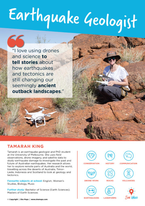
We're here to help...let's talk!
Schedule a meeting with She Maps at a time that is convenient for you.
What's new!
For the latest tips, tricks, and news, check out our most recent articles.