Behind the Scenes
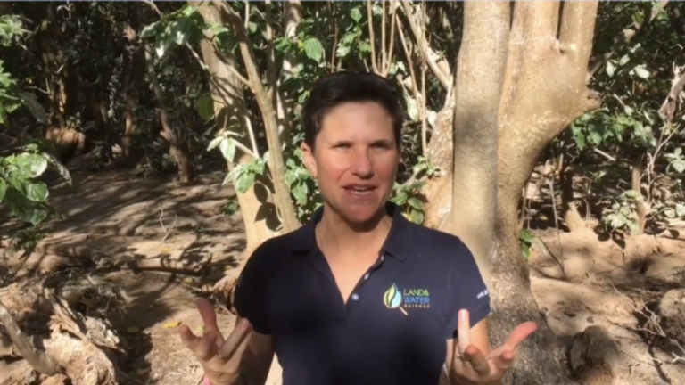
Dr. Karen Joyce takes students behind-the-scenes into a day in the life of a Geospatial Scientist in this brand new immersive career learning series.
During her day as a Geospatial Scientist, Karen heads to the Heron Island Research Station with her fellow scientists to understand how the coral reef around the island is changing over time. Get an immersive behind-the-scenes glimpse on how geospatial scientists conduct onsite research, from using nature to plan the day, to snorkelling the reef and how to share an island with thousands of birds!
If you are teaching digital technologies, regardless of whether or not its drones or geospatial science, this is a great way to to challenge students to think about STEM beyond the lab coat.
Underneath some of the videos, you’ll find Bonus Teaching Tips as well as the introduction video, which will help you integrate the series into your classroom. Depending on your classroom setup, it might be easiest to play the videos as a series from our YouTube playlist.
This immersive series wouldn’t be possible without the support of James Cook University Queensland and Destination Spatial.
Intro for Teachers
Karen shares how she teaches students to be Geospatial Scientists for a day, from setup tips, to how to explain to students what a scientific research trip like this one is all about.
Episode 1: What do Geospatial Scientists do?
Meet and get to know Dr. Karen Joyce, a Geospatial Scientist, a lecturer at James Cook University Queensland and the Education Director of She Maps. Here, she helps explain the million-dollar question – what does a Geospatial Scientist even do? In Karen’s case, she shows students her day on Heron Island Research Station, the importance of understanding its habitat and ecology and how it changes over time.
Bonus Teaching Tip
Want to know more? The following blog provides more explanation about geospatial and provides some great StoryMaps to explore the topic.
Read this blog: What is Geospatial?
Episode 2: Preparing to leave for Heron Island
Find out about the planning that goes into a scientific research trip and, of course, get a glimpse at the high tech drones and other gear!
Bonus Teaching Tip
Already teaching drones or other types of digital technology in the classroom? This is a great opportunity to discuss with students the importance of having everything prepared, especially batteries and equipment, to avoid the disappointment of not being able to fly that day.
Read this blog:
Episode 3: Arrive at the research station
Get a real behind-the-scenes glimpse of life at the Heron Island Research Station. Share a typical first evening with Karen and her fellow scientists and experience what sharing the island with thousands of birds is like!
Episode 4: Explore Heron Island
Take a look further around the island as Karen takes you to her favourite spots on the National Park on Heron Island and a stroll around the accommodation options.
Bonus Teaching Tip
Head to this great resource that showcases what wildlife would be around during Karen’s island walk. This was written in November, which means that the annual mass reproduction of coral will happen during the full moon this month. This only happens once a year and is a truly magnificent and rare natural wonder!
Episode 5: Discover the nature on Heron Island
Take an immersive walk through the paths of Heron Island without the very real risk of bird droppings! See the burrows where birds nest, areas where turtles lay their eggs and understand how the birds and trees of Heron Island cohabitate.
Episode 6: Decide how to capture data
Capturing data is one of the most essential parts of being a Geospatial Scientist – the science and patterns of where things are lies in the data. Investigate the best type of aerial survey to use, what areas you’re interested in mapping and why, and using the drone to capture the data in the best way possible.
Bonus Teaching Tip
Episode 7: Use nature to help plan the day
Create a daily plan with Karen. Of course, because we’re in nature measuring nature – this totally depends on nature! Karen goes through all of the variables that go into planning a day on a research trip and how to work around any challenges.
Episode 8: Get ready to fly
Learn what goes into getting ready to fly a drone on a research trip. Karen goes through working in with other aircraft, like helicopters going into other parts of the island; safety considerations; and ensuring that the mission plan is ready to go!
Episode 9: Snorkel the reef
Snorkel the Great Barrier Reef in order to calibrate the aerial field survey results – getting in the water allows Karen and the team to make sure that what they are seeing in the air is the same as in the water.
Episode 10: Reflect on the day
BONUS: Tips for teachers
Every research trip needs a moment to reflect on what happened. Our scientists reflect on things that went well, things that could have gone better and what they managed to achieve this time compared to other trips.
What are your skills or interest as a teacher? Karen is here to reframe how we think about drones, and especially how we teach them in the classroom. She explains how you, as a teacher, can start to think about the application first in order to integrate this digital technology in a way that feels natural to you.
Check out our careers and industry resources
Would you like to share your career and education story? Find out how you can work with She Maps to provide opportunities for students to learn about geospatial careers and education.


