So geospatial refers to the size, shape, or position of something on the earth’s surface.
Those in geospatial professions use tools like GPS, laser scanners, drones, satellites etc to measure, map, model, and monitor features and processes on the Earth’s surface.
The other term you might hear a bit about is ‘GIS’ or geographic information system. This is a type of database that allows us to create, store, manage, visualise, and analyse geospatial or location-based data
A GIS can help us understand patterns, relationships, and geographic context between different types of information.
Geospatial information within a GIS, helps people in lots of different professions to understand complex problems, and then make data-driven decisions. Esri has a fantastic resource on GIS, and they talk about six steps within GIS that can help solve a variety of complex problems:
Identify problems
Monitor change
Manage and respond to events
Perform forecasting
Set priorities
Understand trend
How is geospatial information used?
Just some of the industries that use it are:
retail
urban planning
agriculture
mining
construction
forestry
The following examples provide a more in depth analysis. Here are 3 examples of how geospatial information is used.
Using geospatial data in a pandemic
Let’s look at a health emergency such as the COVID pandemic.
As COVID started to emerge in China, health authorities began to collect data on the number of infections, their severity, and various other demographic information. These data were combined with location data (such as postcodes), to visualise this information on a map, inside a GIS.
As more and more data was provided, and the pandemic spread across the world, scientists were able to detect patterns or trends in geographic spread. This then formed the basis of forecasts to provide information to the community, and helped governments set priorities for management.
These decisions were underpinned by geospatial information and supported by geospatial professionals who know how to handle, analyse, and present complex information.
Addressing climate change with geospatial data
Another example is climate change. We have been observing the Earth for many years using satellites, aerial footage from planes and drones, and other location-based sensors. All this data has given us a very good understanding about how the climate impacts our planet and the population. We have become very good at weather forecasting, and now scientists are making predictions on how our world will change with climate change.
Monitoring beach erosion with geospatial data
Geographic information systems have made the management of beach erosion much easier due to the ability for scientists to view geospatial data over time. For example, take a local ecosystem like a beach. We can see this location from a satellite and look back over a number of years to see how development in the area has changed, and also how seasons and storms affect the area. We are now also able to use very high spatial resolution data from drones to view how the ecosystem is changing over time in incredibly high detail.
Open data platforms like GeoNadir also mean that these types of data can be accessed and contributed by people all over the world.
We can use many different time stamps of data within a GIS to visualise and measure change over time (temporal). We can combine this data with other climate data to see what impacts are evident in local ecosystems.
Local councils and governments are using these types of analysis methods to set priorities to manage at-risk ecosystems.
Geospatial data are also incredibly important for our built environment. With so many layers of built infrastructure, from tunnels, water, gas and electricity infrastructure, buildings, roads etc we need to know where these all are before we start to build something new.
Surveyors and GIS professionals are an essential part of the construction industry, as they can access and add to the planning information that tells us the exact location of all this infrastructure.
They also make sure that new infrastructure is built in the right location, and is documented correctly so that future developments can access them when needed.
In the construction industry, geospatial data and GIS are being used to create ‘digital twins’ of infrastructure. Digital twins are a computer model that mirrors the built environment, so planners can better identify problems, manage and respond to events, and make better decisions around the management of the infrastructure in the future.
There are many other professions that rely on geospatial information on a daily basis. In fact, you probably rely on geospatial information everyday to do your job, or to get you from point A to point B in your daily life!
Geospatial information is everywhere!
Geography curriculum mapped to amazing StoryMaps - Teacher Resource
Click the image to download the booklet free
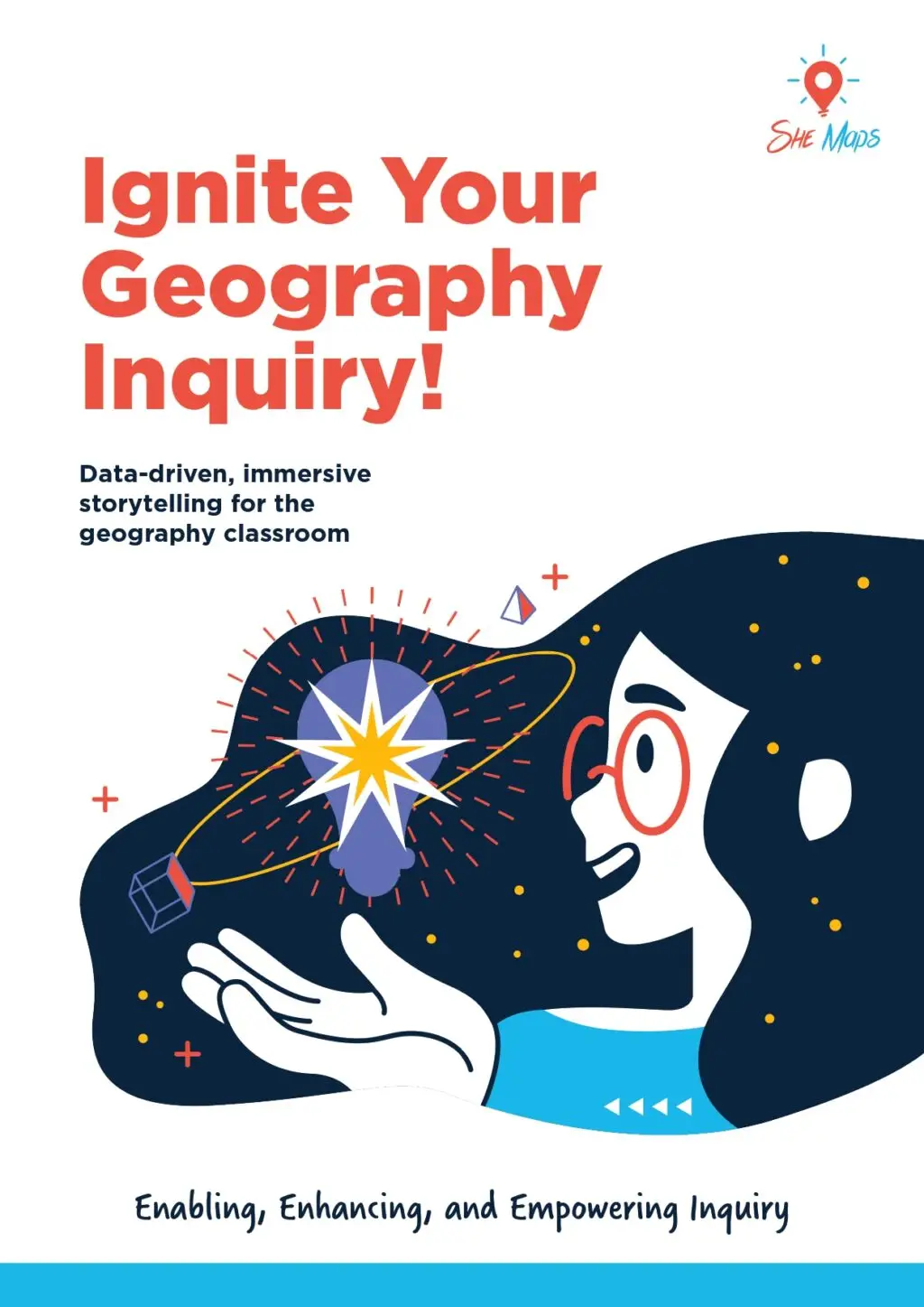
If you are interested in using more of this information and technology in your lessons, take a look at Ignite Your Geography Inquiry!
She Maps have collated some of the best StoryMaps to help guide your students through their geography inquiry journey. We have done all the hard work to find resources that connect with the units of work specifically identified in the Australian Curriculum. Here are the topics we cover:
Click the image to download the booklet
Use these StoryMaps in your lessons or share them with your students to inspire their own inquiry!
About She Maps.
She Maps is Australia’s leading expert in drone and geospatial education.
She Maps assist schools with the purchasing of drones, school-industry created drone and geospatial teaching resources and highly supportive teacher professional development.
FREE eBook – How to start a drone program at your school – Teachers Guide – Download Now
Learning Solutions Guide – Programs, Products and Pricing Guide – Read now
Ready to buy drones for your school? Browse our convenient classroom kits!
You’re in Safe Hands!
She Maps is a CASA approved commercial operator to fly microdrones indoors with students and teachers. CASA holds commercial operators, to a higher standard than recreational users and educators. This means that She Maps has been assessed by CASA as having rigorous training and risk mitigation procedures in place.
Want some help?
Schedule a call with one of our team members to get some personalised recommendations.
Take our resources for a spin and join the thousands of teachers who love our ready-to-teach classroom materials. Try one of our complete units of work for free.