
Meet Emily Lazarus:
Emily is a coastal geomorphologist who recently completed her PhD studying how reef islands in the Great Barrier Reef change in shape, size, and elevation over time. Using drones, satellite images, and mapping technology, she works to understand how these dynamic islands respond to climate change and what that means for the wildlife and communities that depend on them.
Coastlines are always changing
When we visit the beach or step onto an island, it’s easy to believe these places stay the same from day to day. But as Emily discovered through her PhD research on reef islands in the Great Barrier Reef, coastlines are some of the most dynamic environments on Earth. Her work shows just how quickly they can change, even when there’s no extreme weather, highlighting why coastal monitoring is essential for understanding and improving climate resilience.
What is coastal monitoring?
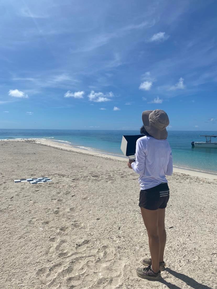
Coastal monitoring means regularly observing, measuring, and recording how coastlines shift over time. For Emily, this involved tracking how small reef islands changed in shape, size, elevation, and even position on their reef platforms. She used drones, satellite images, and high-accuracy GPS equipment to build detailed models that show how the islands behave over weeks, months, and years. One of the most surprising discoveries she made was during a trip to her favourite field site, Taylor Cay. When she returned after only six weeks, she realised she was standing in a completely new spot—because the entire island had moved 30 metres north. There had been no cyclones or storms during that time; everyday wave action alone had pushed the sand enough to shift the island.

The importance of climate resilience
Understanding these changes is crucial to climate resilience, which refers to how well natural systems, wildlife, and human communities can withstand and adapt to the impacts of climate change. If we know how coastal landforms naturally behave now, we can make better predictions about how they might respond as sea levels rise or weather patterns shift.
Emily explains that even when an island doesn’t lose area, a change in elevation can be a major problem. Through drone surveys, she created digital elevation models showing whether an island was getting higher or lower. If a reef island sinks even a little, high tides and waves might wash over nesting sites used by seabirds and turtles.
Why these islands matter
These habitats are incredibly important, ecologically, culturally, and economically, and losing elevation could mean losing the very features that wildlife depend on for survival. Emily has seen firsthand how fragile these environments can be. During one visit, she stood with water lapping at her feet while flying the drone, even though it wasn’t high tide. In earlier months, the same spot had been dry sand. It was a stark reminder of how quickly an island can shrink and how vulnerable these places are. She has also witnessed how island movement can affect wildlife. Birds that nest during the summer may return to find their nesting areas shifted or buried. If the island moves or its sand reshapes, eggs can become submerged or washed into the water.

How monitoring helps protect ecosystems
This is why coastal monitoring is so important. By collecting clear, accurate data on how these islands shift today, scientists and marine park managers can better understand their current resilience and predict how they might behave in the future. It helps guide decisions about how to protect turtle and seabird populations, how to manage tourism on delicate sites, and how to safeguard cultural landscapes important to First Nations communities. Monitoring gives decision-makers the evidence they need to strengthen resilience before issues become irreversible.
Technology behind the science
Emily’s work also highlights the role of technology in modern environmental science. Although many people imagine fieldwork as the main part of the job, she revealed that only about five percent of her time is spent on the islands themselves. The remaining ninety-five percent involves analysing satellite images, processing drone data, and modelling changes on a computer. She explains that coding is becoming increasingly important in this field because it allows scientists to automate tasks, make their work more reproducible, and handle the large amounts of data needed to monitor coastal change at scale.

Hopes for the future
What Emily hopes most is that her research will help protect the ecosystems that depend on reef islands. By identifying how islands change, how fast they move, and when they become more vulnerable, she wants to support better management that allows seabirds, turtles, and other species to maintain or even grow their populations despite the pressures of climate change. Her stories and discoveries reveal a powerful truth, even the calmest, quietest coastlines are shifting all the time, and the more we understand these changes, the better prepared we are for the future.
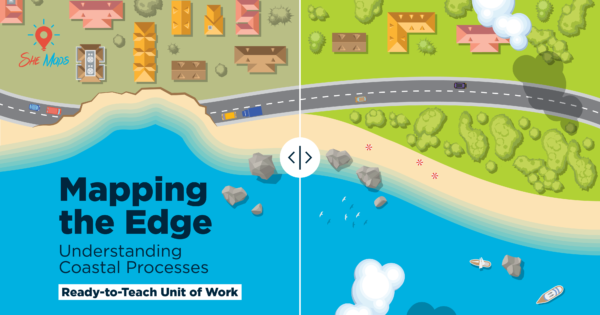
Learn more about how students can explore these concepts in the Mapping the Edge coastal processes unit.
Emily’s research reflects exactly the kind of real-world science explored in the Mapping the Edge: Understanding Coastal Processes unit. In this program, students investigate the same coastal dynamics Emily studies—erosion, island movement, and the influence of waves and weather—using drones, spatial data, and GIS tools such as GeoNadir.

Just as Emily maps changes on reef islands to understand climate resilience, students learn to analyse shoreline change, compare datasets over time, and make informed decisions about coastal management. The unit mirrors contemporary coastal science practice by teaching students how drones, satellite imagery, and digital mapping technologies reveal the hidden patterns shaping our coastlines today.