Professional Development: Enhance Your Skills with She Maps
She Maps Team
10 Jan 2025
At She Maps, we believe that empowering educators is key to transforming STEM education. That’s why we offer comprehensive professional development opportunities to help teachers enhance their skills and confidence in using drones and geospatial technology. Whether you’re a seasoned educator or new to STEM, our professional development programs are designed to support you every step of the way.
Hands-On Workshops
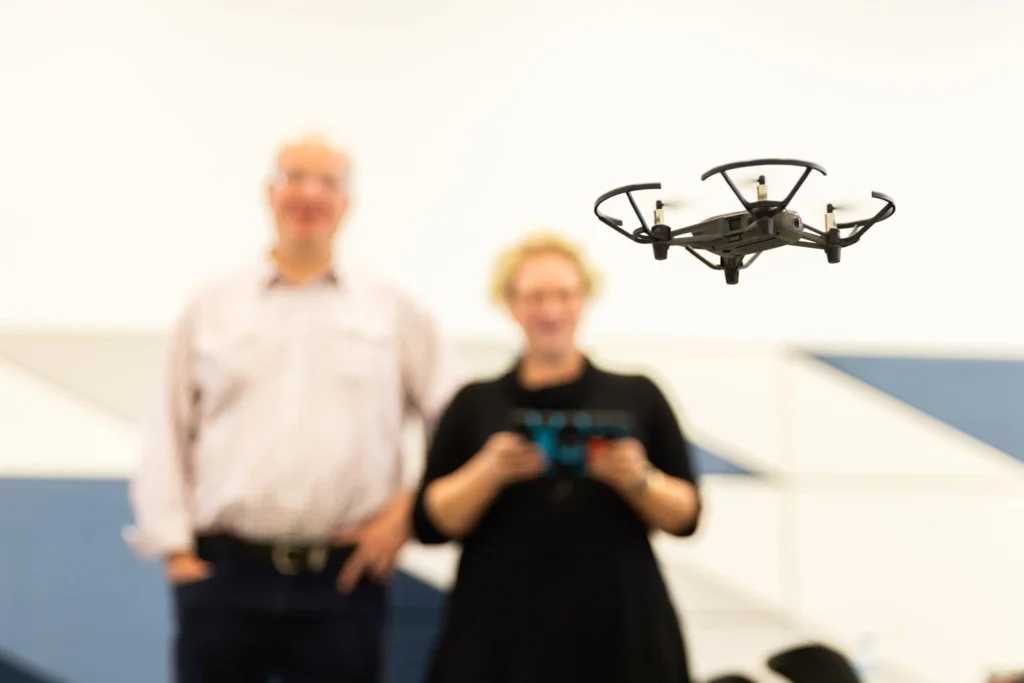
Our hands-on workshops provide practical training on using drones and geospatial technology in the classroom. Led by experienced educators and industry experts, these workshops cover everything from basic drone operation to advanced data analysis. You’ll leave with the skills and confidence to implement these tools in your teaching.
Curriculum-Mapped Resources
She Maps offers a wide range of curriculum-mapped resources that align with educational standards. Our lesson plans, activities, and assessments are designed to integrate seamlessly into your existing curriculum, making it easy to introduce drones and geospatial technology to your students.
She Maps’ online membership program offers educators a comprehensive suite of resources and support to seamlessly integrate drones and geospatial technology into their STEM curriculum. Members gain access to exclusive curriculum-mapped lesson plans, engaging activities, and instructional videos that make teaching with drones both easy and exciting. The program also includes interactive online workshops, a vibrant professional learning community, and continuous updates on the latest advancements in geospatial technology. By joining the She Maps community, teachers can enhance their professional skills, connect with like-minded educators, and inspire their students to explore the fascinating world of STEM.
Enhancing your skills with She Maps’ professional development programs can transform your STEM teaching and inspire your students. With hands-on workshops, curriculum-mapped resources and ongoing support, we provide everything you need to confidently introduce drones and geospatial technology to your classroom. Join us and take your STEM teaching to new heights!
About She Maps.
She Maps is Australia’s leading expert in drone and geospatial education.
She Maps assist schools with the purchasing of drones, school-industry created drone and geospatial teaching resources and highly supportive teacher professional development.
FREE eBook – How to start a drone program at your school – Teachers Guide – Download Now
Learning Solutions Guide – Programs, Products and Pricing Guide – Read now
Ready to buy drones for your school? Browse our convenient classroom kits!
You’re in Safe Hands!
She Maps is a CASA approved commercial operator to fly microdrones indoors with students and teachers. CASA holds commercial operators, to a higher standard than recreational users and educators. This means that She Maps has been assessed by CASA as having rigorous training and risk mitigation procedures in place.
Want some help?
Schedule a call with one of our team members to get some personalised recommendations.
Take our resources for a spin and join the thousands of teachers who love our ready-to-teach classroom materials. Try one of our complete units of work for free.