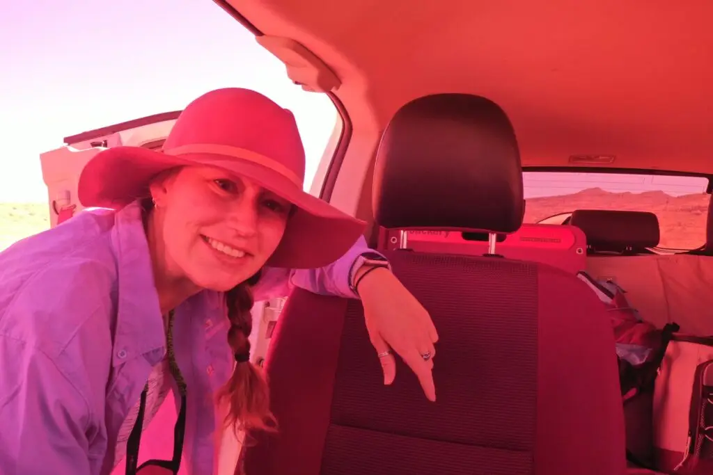
Kiki Lathrop
Kiki has always been interested in archaeology. When she was young, she learned about the ancient Greek constellations and saw the moon, Jupiter and Mars (named after the Roman gods) through her neighbour’s telescope. She took science classes like astronomy in school, as well as world history.
Her love of space brought her to college at the University of Colorado Boulder, where she originally studied astronomy and worked at the planetarium. After her first year of school, she realised it wasn’t calculating the distances to stars that inspired her, it was the stories that ancient cultures use to tell, the buildings that aligned with the stars, and the use of space as a clock in the greater context of the passing of time for these people long ago. She switched her major to Archaeology and continued to work at the planetarium. Kiki’s final year project was a planetarium show about the Mayan calender and the myths and traditions that surround the use of space.
She continued her education in Australia where she studied an undergrad at James Cook University in Townsville, and did a Masters in Museum Studies at the University of Queensland.
When she moved back to the states a few years later, she became the director of the local museum. In her four years at the museum, overseeing multiple historic properties, Kiki found that the overlooking perspective of placement was apparent in historical archaeology as well. She wanted to continue her education and started a second masters in Applied Geospatial Sciences through Northern Arizona University.
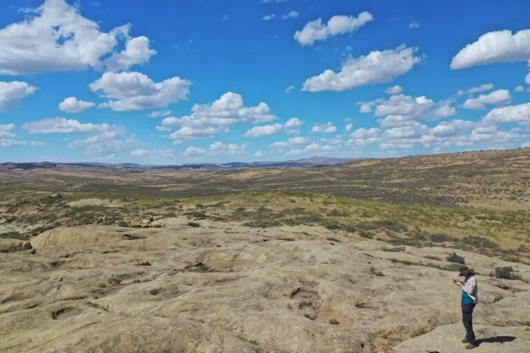
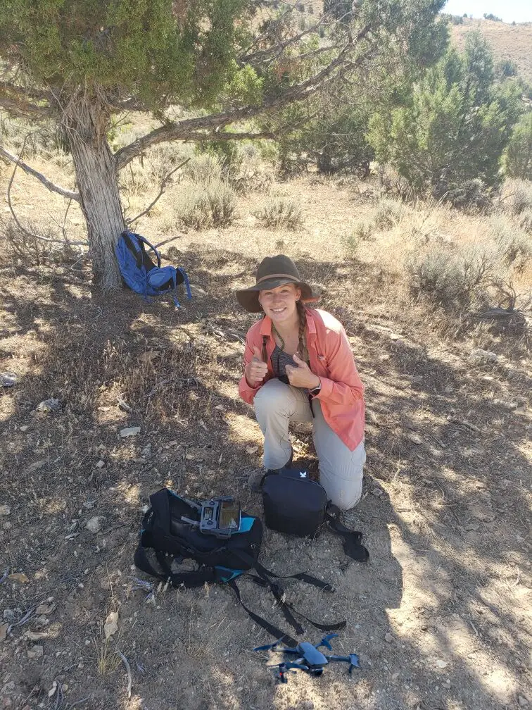
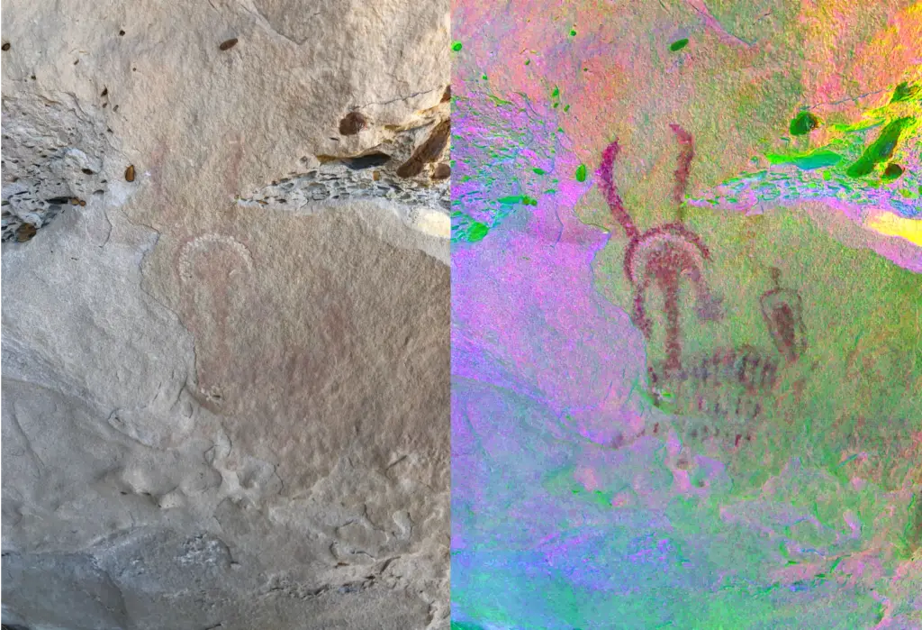
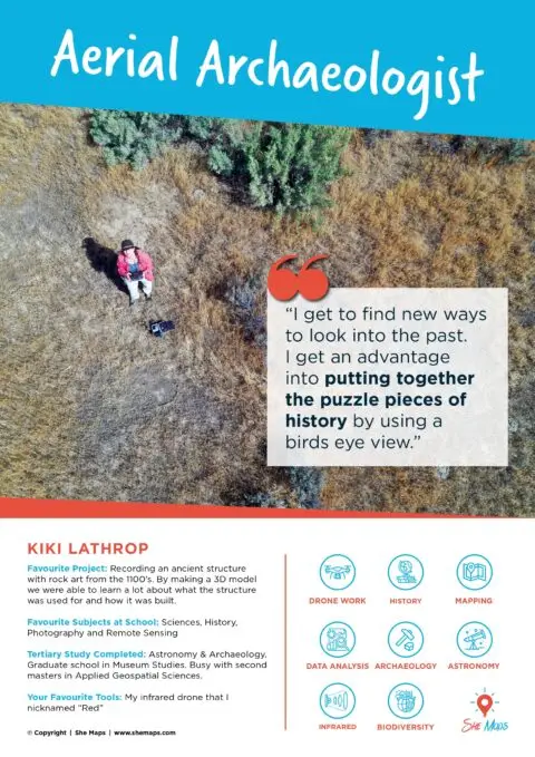
While working on her masters, Kiki was able to do some weekend work for the Dominquez Archaeological Research Group (DARG), using her drone to fly along cliffsides where rock art made nearly 1000 years ago had become inaccessible. This was due to the perch that was used when creating these images had eroded over time.
Kiki created her own business, Indiana Drones Archaeology, and has since been written into grants for historic preservation, including her current masters project where she is looking at sites that were used as fortresses by the ancient Native Americans, using the drones to have a better understanding of how they were made, and the locations of post-holes that were drilled into the tops of stones for these structures.
By flying her drone around archaeological sites, she can take hundreds of photos and digitally process them into a 3D model. The computer will line up points in each photo until they overlap creating an accurate image.