
via WKBW.com
Hover oveR is an app that helps first responders identify people who may be in danger after a disaster. It was developed by American high school student, Vidya Shah, and has gone on to win a national competition called the Congressional App Challenge.
How it works:
First responders send a drone to take photos of the disaster area. The photos are sent to a computer and then onto a machine-learning tool, IBM Watson. The tool recognises that there are people in the photo and sends the pictures back to the computer where they are identified and marked with geo-locators and the time the photos were taken.
Vidya used a Tello drone, imaging, Python, API calls and IBM Watson (Machine Learning for Kids) to create this, as well as other technologies to communicate and share the information – a step in the STEM process that can sometimes be left out.
It shows how driven students are when there’s a real-world problem to be solved. As Vidya says, “I don’t like to code just for the sake of solving math problems…I like to get a solution out of it.”

STEM tends to be taught only in traditional classroom subjects that lend themselves to the science and maths arena. However, connecting with students through a fun activity that they enjoy is a fantastic way to familarise them with STEM.
Particularly for students who might feel intimidated by using technology, the STEM by stealth approach relieves the discomfort by introducing it in an environment where kids feel at ease.
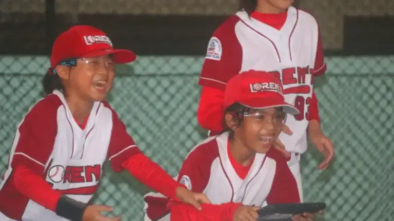
We travelled to Indonesia and teamed up with Diamonds in the Rough, an organisation that uses baseball to empower and engage Indonesian girls. They take a traditionally male-dominated sport and show girls how to succeed with it. It was easy to see the personal development and leadership skills the girls were learning.
Our role was to introduce STEM into the game and we created a simple Drone Baseball lesson for teachers. Head over to the post on our Facebook page to find out the rules and setup to play it in your classroom.
via ellipsis and The Guardian
Global initiative, ellipsis, uses drones, machine learning and citizen science to monitor the problem of marine litter. Their philosophy is: 10 million tonnes of plastic waste is entering our oceans every year. 99% is missing. We need to map the missing 99% because, without knowledge, we are stuck.
Their global network of aerial pilots, volunteers, image taggers and beach clean up crews assist with this mission. In 2020, they are publicly releasing the ellipsis explorer app for download where the heat map of plastic waste will be able to be accessed, as well as resources for education.
We’ll let you know when this is released as we think it could work well in the classroom.


