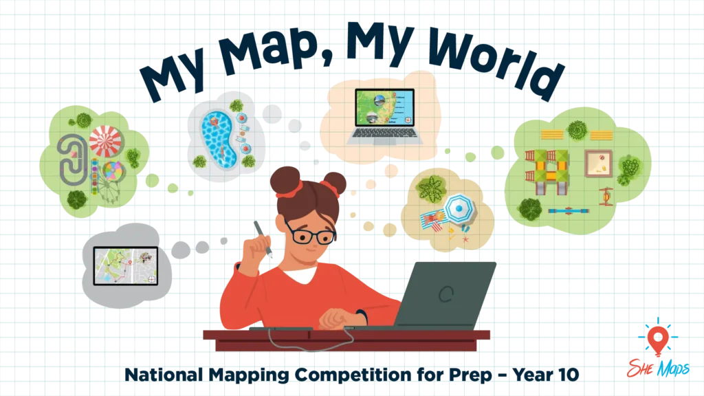
The My Map, My World competition invites students to step into the shoes of geographers, storytellers, and spatial thinkers by creating a map of a place that matters to them.
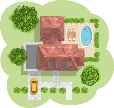
Whether it’s their backyard, a favourite holiday spot, the route to school, or an imaginary dream world – there are no limits on creativity, format, style or size!
Our special resource portal will provide you with useful materials to help you and your students complete the task.
A great activity to create a bit of classroom competition!
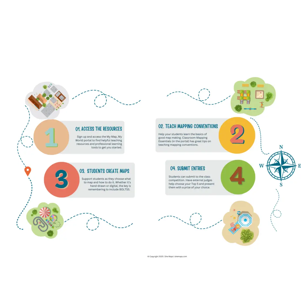
How it works
Complete the form and gain access to free teaching resources and competition materials.
In the portal you will find:
Competition quick start guide
Classroom materials to teach mapping conventions: Map My School unit of work
Professional development content: Classroom Mapping Essentials
Judging criteria
By providing your email address, you will get instant access to the competition portal and downloadable resources. Your information is subject to our Privacy Policy.
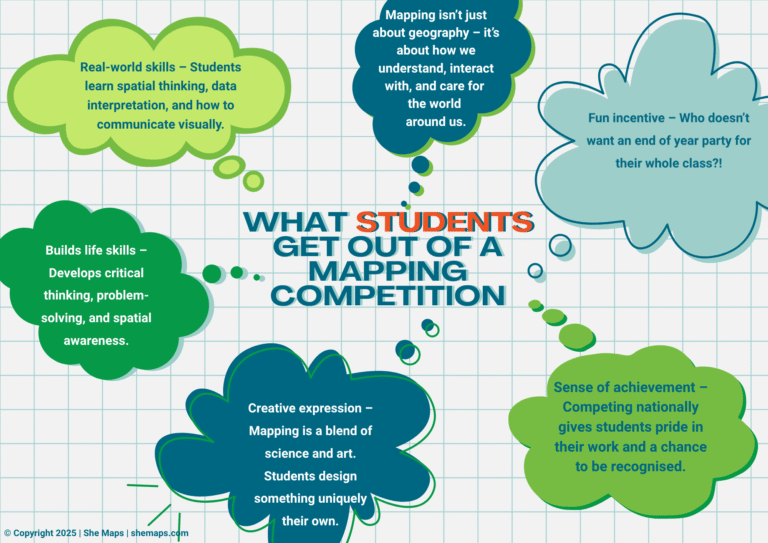
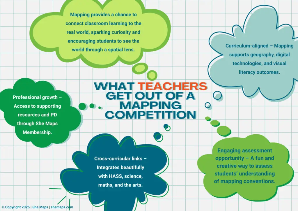
Why participate?
The My World, My Map Competition is more than just a creative challenge — it’s a chance to spark students’ natural curiosity and unleash their imagination. By designing a map of a place that matters to them, students are encouraged to think spatially, tell compelling stories, and connect with their surroundings in new ways. The competition supports real-world learning and links classroom concepts across various subjects of the Australian Curriculum, such as:
Geography,
Science,
Technology,
Maths, and
The arts.
Map making is an engaging way to build important 21st-century skills, while inspiring the next generation of geographers, scientists, and creative thinkers to see the world — and their place in it — through a new lens.
Here are more reasons why you and your students may want to participate in our My Map, My World competition:
Click on the image to get your free resources
Try before you buy
Take our resources for a spin and join the thousands of teachers who love our ready-to-teach classroom materials. Try one of our complete units of work for free.