Our online membership offers teachers a vast supply of drone and geospatial teaching resources, as well as professional development opportunities. The teaching resources have been created by experienced teachers and content experts, with a focus on transdisciplinary learning, so the students explore relevant concepts, issues or problems from multiple perspectives in order to connect new knowledge and deeper understanding to real-life experiences.
The self-paced online professional learning opportunities assist teachers to increase knowledge and gain confidence in teaching drone and geospatial concepts in primary and secondary schools. Teachers of all levels and disciplines can participate in our professional learning programmes to learn how to teach with drones and geospatial concepts.
The She Maps Membership includes:
Professional Development Content
- Classroom Drone Essentials (5-10): Learn how to integrate educational drones into your lessons, engage a greater diversity of students, and teach how to fly and code microdrones drones.
- Classroom Mapping Essentials (F-10): Learn how to integrate geospatial information and systems into your lessons (no drones required).
- Drone Mapping (10-12): Learn how to use sub 2kg drones for field mapping activities (note: this is not a course to teach you how to fly a drone or get a drone operator license).
Teaching Materials
24/7 access to all our real-world drone and geospatial resources (
curriculum-mapped for F-10):
- Ten complete units of work including lesson plans, achievement standards, assessment rubrics, extension activities and multimedia lesson presentations:
- Drones to the Rescue – Flooding
- Drones to the Rescue – Bushfires
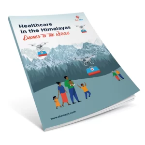
- Drones to the Rescue – Healthcare in the Himalayas (developed in partnership with DroneBlocks)
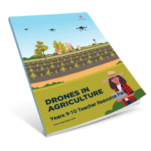
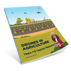
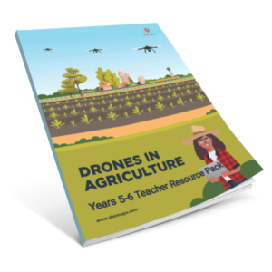
- Drones in Agriculture
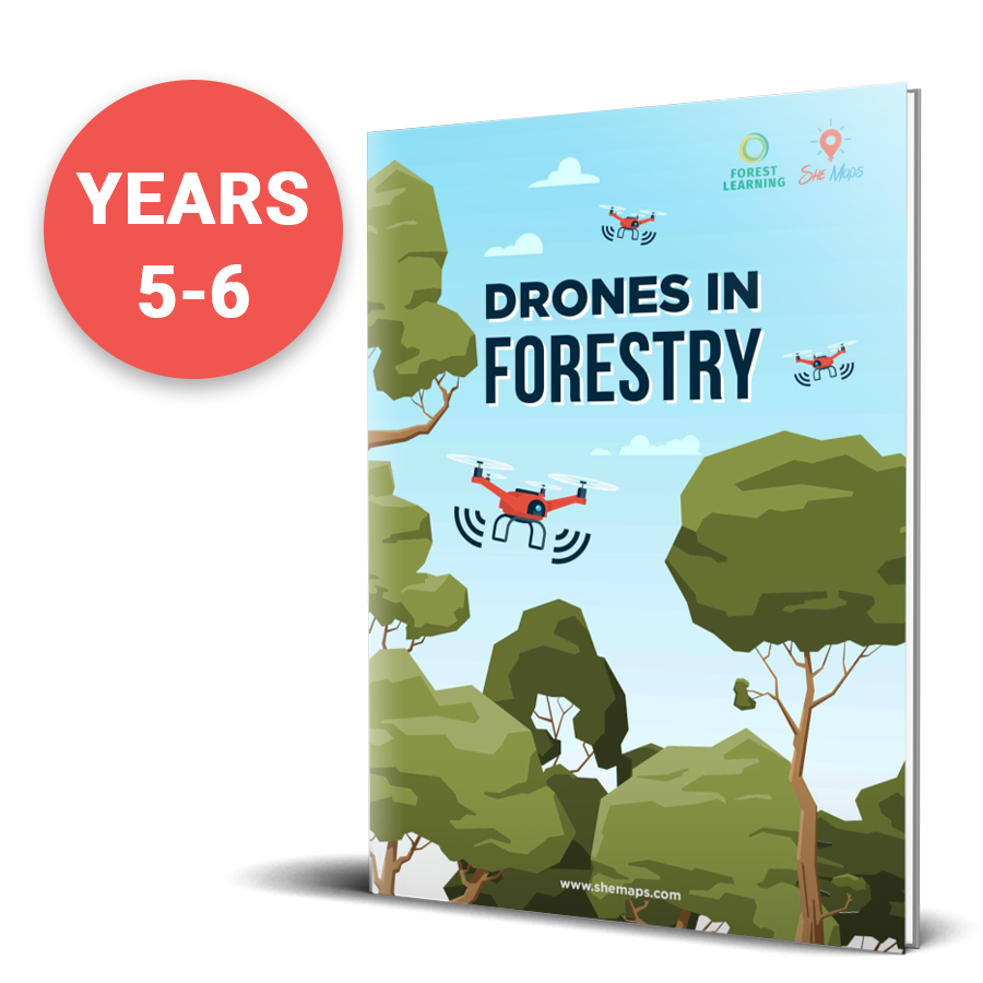
- Drones in Forestry (developed in partnership with Forest Learning)
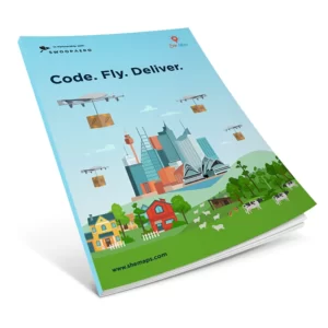
- Code. Fly. Deliver (developed in partnership with Swoop Aero)
- Map My School*
- Map My Neighbourhood*
- Mapping the Edge*
- Litter Leaders: See it, map it, change it.
- Drone Club resources to start your own drone program at school.
- Teaching resources (F-4) for our illustrated children’s book Pippa & Dronie (hard copy book available for purchase separately).
- Competition resources such as “How Cool Is Your School” and “Tournament of Drones”.
Industry Connections
- Access to our Geospatial Careers Guide (co-designed with Study Work Grow)
- Career posters featuring a range of female role models in geospatial jobs.
- Quarterly online webinars, our ‘EduDrone’ series, featuring keynote speakers and panellists from the drone, geospatial & space industry.
As part of the membership, you’ll also get access to the She Maps newsletter, which shares new resource releases, tips, and strategies to enhance drone and geospatial teaching. You will also gain access to our She Maps Facebook Group where you can connect with other teachers teaching with drones, ask questions and find inspiration.
*Does not require the use of drones.
The price shown is for a Department License for up to 10 teachers from one school for 12 months of access. Renews annually.