Melbourne University Geomatics Society (MUGS)

Guest Author
Guest Author
02 Dec 2022
mugs event
melbourne university geomatics society

The Melbourne University Geomatics Society (MUGS) is a club for a variety of different students — from Engineers to Urban Planners to Earth Scientists to Surveyors.

Geomatics is a spatial science that encompasses a broad range of disciplines that focus on measurements and mapping.

As such, it is ideal for someone who enjoys a good mix of indoor and outdoor work. The knowledge gained can also be applied to a broad range of fields.

Students within MUGS generally study a Bachelor of Science or Design, Master of Engineering (Spatial, Environmental, Civil, Digital Infrastructure) or Surveying and Geospatial Sciences at either Melbourne University or RMIT.

At MUGS, we run events — both big and small — including; an annual industry Ball, Pool Competition, workshops and End of Year pub night. MUGS also links students, staff and the Geomatics Industry and hosts regular networking events connecting jobseekers and industry. This provides students with direct networking opportunities while presenting a broad range of employers from Engineering to Planning to Government firms.

mugs awards

Club aims:

  • To facilitate links between students interested in Geomatics, industry partners and the careers and employment department to resource students about the employment industry.
  • To provide a social outlet for students interested in Geomatics of all year levels and with staff in Geomatics.
  • To be a support network for all students of all year levels interested in Geomatics.
  • To foster interaction and shared experience by current students in all year levels with students who have graduated with a Geomatics Degree, Diploma or Major, as appropriate.
mugs event 2
mugs learning

Interested in finding out more about joining MUGS?

Email, or visit our Facebook community and join our Facebook group for job postings, or simply follow our LinkedIn!

This article was written by Baden Coates | President (2022-2023)
Melbourne University Geomatics Society (MUGS)

E: [email protected]

F: facebook.com/MU.Geomatics.Society

L: linkedin.com/company/melbourne-university-geomatics-society

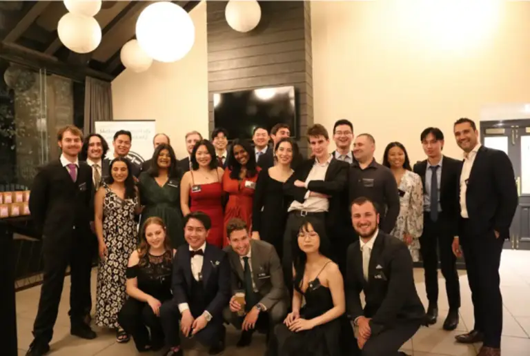
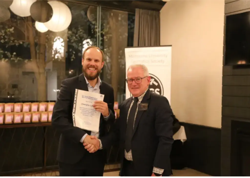
Studying Surveying and Geospatial science at RMIT


Certificate IV in Surveying and Spatial Information Services – CPP41721

In this certificate, you will learn how to use surveying technologies and software to capture, process and present electronic data. You will also learn how to collect and interpret spatial data in various forms and operate surveying equipment to support the land surveying industry. More Information

Diploma of Surveying – CPP50121

Surveying relies on the collection, management and presentation of information that relates to land surveying, mapping and GIS.  More information

Advanced Diploma of Surveying – CPP60121

In the Advanced Diploma of Surveying, you will gain the educational and practical training necessary to extend your career in the surveying, mapping, and geographical information systems (GIS) industries. More information

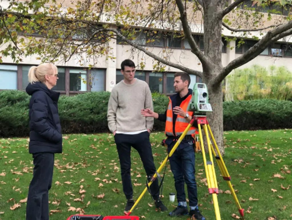
Bachelor of Surveying

Prepare for an in-demand career as a surveyor. Gain sought-after skills and benefit from strong industry links, work experience and the latest equipment and software. More information

Bachelor of Environmental Science

In RMIT’s Bachelor of Environmental Science, you will learn about the biogeochemical processes that occur in both natural and degraded environments, and specialise with areas of study like environmental biology, environmental chemistry, geosciences or geospacial sciences. More information

Bachelor of Geospatial Science
This degree will prepare you to play an important role in collecting, distributing, storing, managing, analysing and communicating geospatial information to meet the societal demands in agriculture, transportation and logistics, energy, retail, defence and intelligent operations, emergency services, insurance, health care, environment and natural resources, and government sectors. More information.

Master of Geospatial Science
A Master of Geospatial Science will prepare you for leadership roles in this field, building your understanding of spatial analytics and big spatial data for making critical decisions about our built and natural environment. More information.

Studying Surveying and Geospatial science at Melbourne University

Bachelor of Science
The Bachelor of Science is a 3-year degree, in which you’ll complete 24 subjects. Of the 24 subjects, some will contribute to your major (your chosen specialisation), some will be science electives (other science subjects), and some will be breadth (non-science) subjects. More information

Master of Geoscience

To join the global minerals, energy, geotechnical and environmental geoscience industries, you’ll need the kind of specialised knowledge this degree provides. Undertake intensive subjects in geoscience, plus business and leadership – all taught by leading academics and industry professionals. More information.

Master of Digital Infrastructure Engineering

Digital infrastructure engineers work on the systems that connect the physical and digital world. They design the infrastructure for driving sustainable and resilient outcomes for businesses, projects, asset management, and ecosystems.  More information

About She Maps.

She Maps is Australia’s leading expert in drone and geospatial education. 

She Maps assist schools with the purchasing of drones, school-industry created drone and geospatial teaching resources and highly supportive teacher professional development.

 
You’re in Safe Hands!
She Maps is a CASA approved commercial operator to fly microdrones indoors with students and teachers. CASA holds commercial operators, to a higher standard than recreational users and educators. This means that She Maps has been assessed by CASA as having rigorous training and risk mitigation procedures in place.
 

Ready to buy drones for your school? We are an authorised DJI reseller in Australia

Want some help?

Schedule a call with one of our team members to get some personalised recommendations.
picture4
Share
Tweet
Share
In this article:
    Add a header to begin generating the table of contents

    Stay up to date

    Subscribe by email and never miss a blog post or announcement.

    Flying High with Drones at Your School!

    Learn the 6 Steps to Launching a Successful Drone and Geospatial Program at your School

    What’s covered:
    • The educational benefits for running a drone & geospatial program
    • How to gather whole school support for the program
    • How to fund your drone program
    • Matching your school requirements to the best program
    • How to build teacher confidence and capabilities
    • Steps to expand your program with school-industry partnerships

    Try before you buy

    Take our resources for a spin and join the thousands of teachers who love our ready-to-teach classroom materials. Try one of our complete units of work for free.

    drones in forestry yr 5 6
    drones in forestry yr 9 10