The Future of Geospatial Science: Facing Industry Challenges
Keira Joyce
12 Apr 2023
With the complex challenges arising from a rapidly growing population and disruptive technologies, geospatial skills are becoming more widely sought after in original and less traditional markets, yet the workforce is struggling to keep up with this demand. The geospatial skills shortage in Australia and on a global scale has been an increasing issue over the past decade, one the industry is aware of and has reported on, yet there is currently no coordinated effort being pushed into attracting the next generation into geospatial careers. Through industry collaboration, spatial sciences need to become more visible as a career path, and efforts to make geospace an exciting area of employment for young people need to be pursued.
Grappling with Industry Challenges
Geospatial science and skills are not tied down to one industry, rather consisting of a multi-disciplinary web of data collection and analysis pathways that advise and innovate in urban, agricultural, climate, and health spaces. Some of the problems that have contributed to and are increasing the skills shortage in the geospatial workforces include the effects of urbanisation, climate change, and disruptive technological developments.
Population Growth, Climate Change, and Technology
With a population expected to surpass 10 billion shortly after 2050, the global need for rapid urbanisation and evolving infrastructure is fundamental. The use of geospatial data and analysis is necessary to contribute to the liveability and spatial equity of urban ecosystems, and support the planning of infrastructure and sprawl. With growing tourist markets, geospatial data helps track and manage the inflow of people into delicate cultural sites or natural environments that could be easily damaged.
The global impact of climate change is well acknowledged, yet its effects continue to create challenges. As the frequency and severity of extreme weather events continue to rise, so does the geospatial industry’s need to combat the subsequent issues caused by them. Physical geography has always offered challenges, and Australian geoscientists have experience dealing with all manner of bushfires and floods, but increasing hazards will need to be analysed and factored into the future of urban development and managing the risk and vulnerability of ecosystems.
Also, with the widespread introduction of new technologies (like AI, Blockchain, VR, AR and others), and corporations of all descriptions having to fully immerse themselves into the information age, the demand for specialist skills in the geospatial industry is rising rapidly. The rise in sensor and social media information, and the distribution of data through cloud technology is contributing to quantities of data far greater than any that have had to be considered before. With these developments, geospatial skills are in demand in less traditional markets, using information to assist in insurance, banking and retail businesses. Geospatial data also became incredibly important throughout the Covid-19 pandemic, in order to track and contain the viral spread. However, a key issue in being able to effectively use this information is the lack of standardisation in the geospatial industry, making it necessary to have a specialised skill set to analyse this data and use it to solve problems.
Population growth, climate change, and tech development are not problems that are going away, and will continue to create new challenges that the geospatial industry should be equipped to handle. The importance of data analysis skills, collaborative teams, and innovative leadership will be critical, as Australian jobs are estimated to be changing and evolving by 18% every decade. The need for an experienced and well supported geospatial workforce is clear, yet the ability of geospatial science to attract and retain the incoming workforce doesn’t seem to be implemented to its best ability. In 2020 there was an Australian workplace shortfall of over 600 surveyors and spatial scientists, expected to double by 2025, and only 20% of the Australian spatial and surveyor roles were occupied by women in 2021. Diverse workforces will not only boost numbers to target this increasing demand, but contribute to more well-rounded teams, new ideas and leadership styles in order to combat the problems that are already impacting the geospatial industry and will continue to.
Industry Roadmap: Carving Routes to a Geospace Future
Geospatial careers in Australia need to gain more exposure, and the Surveyor’s Trust have recently roadmapped a 5 step industry-led plan (Bakalich, D. 2022. pg. 8) to help stabilise and diversify the Australian geospatial industry to prepare for the future.
1. Surveying & Spatial Industry Workforce Taskforce
To manage and improve the skill sets of people already working in the industry, this taskforce will introduce more targeted development programs and ensure that they are successful in maintaining Australian geospatial scientists’ capability.
2. Biennial Environmental Scans
The taskforce and industry will work together to assess the workforce as a whole, identifying which roles need more or less incoming staff and how demand may fluctuate over time. This information will work to inform the areas that need targeted attention, and programs that should be put into place.
3. Surveying & Spatial Competency Framework
The taskforce will lead in creating a framework of the skills necessary in geospatial careers, to better inform the expected capabilities of various roles.
4. Taxonomy of Occupations
Defining the career families available within the geospatial industry and how they work together will allow for targeted promotion and a deeper understanding for the general public of the opportunities in geospace.
5. National Skills and Career Pathway
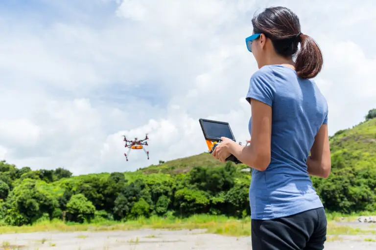
The goal of the National Skills and Career Pathway will be to increase educational opportunities and influence the career choices of young people. Organisations such as She Maps directly address the lack of attraction to geospatial careers, as well as increasing the diversity of the workforce. She Maps provides educational resources and programs that encourage young people, and especially young women, to think about their world from a geospatial perspective. Drone flights and coding workshops make learning exciting, and the curriculum can even be adapted to incorporate satellite views of their own city or mapping their own schools. This promotion of technology with a personal touch helps teachers and students not only discover an awareness of geospatial careers, but uncover a genuine interest in what the field might hold.
The importance of acting quickly to avoid playing catch up is essential in handling the challenges of population growth, workplace shortfalls and climate change; but equally so is creating pathways and opportunities for the future generation of geoscientists. The Surveyor’s Trust Roadmap encourages the industry to be more direct in their involvement, find the weak points, plan for demand, and progress for the future. Although the Australian geospatial industry is facing some tough challenges, by concentrating on a collective response to workplace shortfalls and raising industry capability there is an opportunity to turn the current demand for skills into a demand for jobs.
If you are part of the geospatial industry, you can help She Maps inspire the next generation of geospatial experts by referring our programs to your school contacts or by partnering with us.
Keira Joyce is studying science communications and english literature at the Australian National University. She is also currently completing an internship at She Maps.
Bakalich, D. 2022. The Australian Surveying and Spatial Workforce: A National Roadmap. Surveyors’ Trust.
She Maps is Australia’s leading expert in drone and geospatial education.
She Maps assist schools with the purchasing of drones, school-industry created drone and geospatial teaching resources and highly supportive teacher professional development.
FREE eBook – How to start a drone program at your school – Teachers Guide – Download Now
Learning Solutions Guide – Programs, Products and Pricing Guide – Read now
Ready to buy drones for your school? Browse our convenient classroom kits!
You’re in Safe Hands!
She Maps is a CASA approved commercial operator to fly microdrones indoors with students and teachers. CASA holds commercial operators, to a higher standard than recreational users and educators. This means that She Maps has been assessed by CASA as having rigorous training and risk mitigation procedures in place.
Want some help?
Schedule a call with one of our team members to get some personalised recommendations.
Take our resources for a spin and join the thousands of teachers who love our ready-to-teach classroom materials. Try one of our complete units of work for free.


