Drones in Bushfires – How drones are now an important part of the recovery
Katie Vidal
10 Aug 2021
Drones in Bushfires: This transdisciplinary teacher resource uses ArcGIS StoryMaps to demonstrate how GIS & drones helped recover from the Australian Bushfires.
This unit of work is the first in a series of themed units centred around drones, Geographical Information Systems (GIS) and the exploration of how they are used to assist before, during, and after emergencies.
STEM and Inquiry Skills
Bushfires are a prominent topic in the later stage of primary school and early high school. This unit of work is STEM in action and allows teachers to use the HASS/ Geography Inquiry skills to explore this topic with Design/Digital Technologies and Science integrated into the process. It has been curriculum-linked the Australian Curriculum for Grades 5-6 and 7-8.
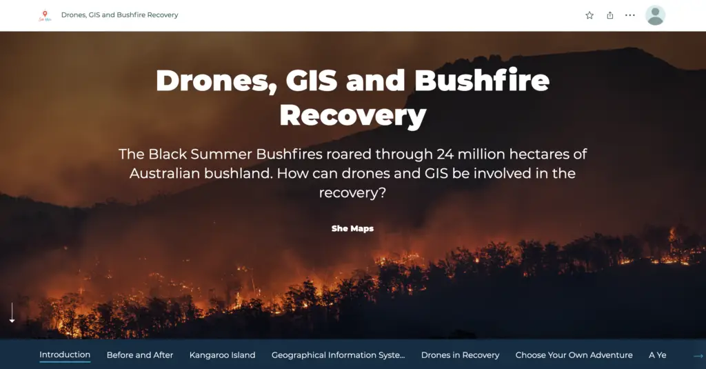
This Unit of Work has been developed using a new and innovative style of presentation called, StoryMaps. Using the StoryMap, teachers can guide students through the inquiry process and allow them to explore how drones and Geospatial Information Systems (GIS) are currently used and possibly how they can be used in the future to assist with the research and support of bushfire recovery.
Drones in Bushfires (Unit of Work)
Drones, GIS, and Bushfires Recovery is a comprehensive unit that is flexible enough to use each lesson separately or to be used as a full unit of work. Each lesson challenges students to use the HASS/Geography Inquiry Skills to explore the subject matter. The activities include identifying a reliable source of information by studying the different types of drone used for wildlife and conservation. The activities allow students to express and demonstrate different types of skills, from summarising to designing and even presenting “news style” their understanding and results of their work.
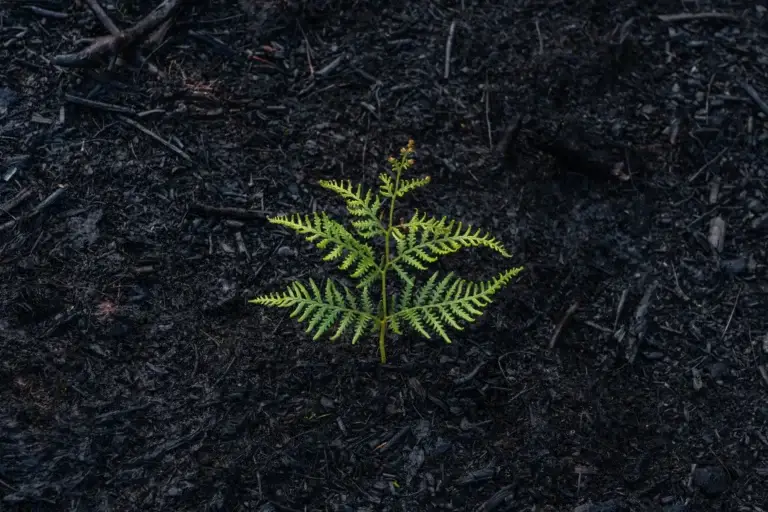
Photo by Matt Palmer on Unsplash
StoryMaps
StoryMaps, if you haven’t heard of it, is a different style of presentation format. It allows you to bring text, images, videos, data, and maps together to create visually appealing reports, stories, historical retellings, data capture all in one place.
The StoryMaps format has been used in Drones, GIS and Bushfires to create a free-flowing series of lessons, together with the unit work. It can be used as a teacher-led resource or for more self-sufficient students it can be used for an independent inquiry. All the resources, instructions, and applications are found within the presentation.
Take a look at the Drones, GIS, and Bushfires video for a walkthrough of this eye-catching resource. Each lesson has a chapter, easily accessible at the top of the page. Which makes it easy to move around the resources or you can follow it by scrolling through the lessons one-by-one.
Example: She Maps Bushfires StoryMaps
Drones in Education
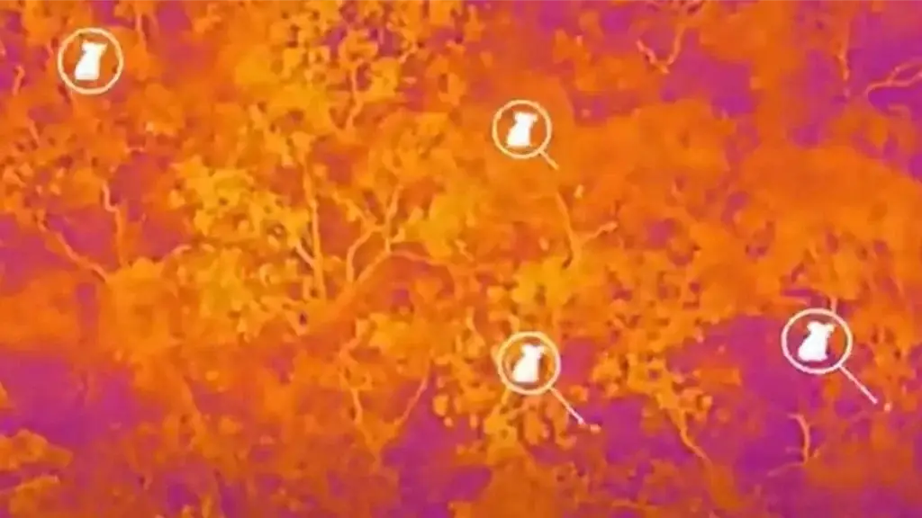
How are drones used in bushfire recovery? The Australian bush is well known for its ability to bounce back after a bushfire disaster, but how are drones involved in not only collecting the recovery data but also assisting the local landscape to regenerate? From identifying koalas with thermal cameras to challenging students to use drones to feed the local wildlife, there are several options to explore.
A still image of the infrared drone footage over Kangaroo Island forests with koalas showing up as white dots. - The Islander
Geographical Information Systems (GIS) – Teacher Resources
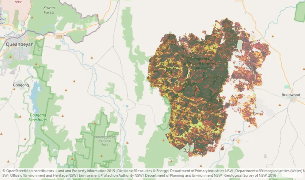
Geographical Information Systems (GIS) are digital technologies that can explore bushfires with a bird’s eye view. Students are allowed to use the Google Earth Engine Burnt Area Map (GEEBAM), a rapid mapping approach to find out where wildfires in NSW have affected vegetation, on a scale of low to very high burn class.
In the Unit of Work, Lesson 3: GIS explorations, students practice GIS skills to show how maps are used for more than just GPS. This lesson shows it is never too early for students to explore and use GIS to study the world around them. From early primary school right through to high school and beyond, GIS is a tool that can be used across subject areas.
Google Earth Engine Burnt Area Map (GEEBAM)
Love She Maps STEM teaching resources?
Then make sure you check out
HealthCare in the Himalaya’s – Drones to the Rescue.
There are 3 ways you can access our STEM teaching resources:
1. She Maps Members – If you are currently a She Maps Member, then simply log in to our online learning platform, ORBIT, and access the STEM teaching resources for free. You can easily locate the Unit of Work under the Bonus Resources tab.
2. Become a She Maps Member – You can purchase a She Maps Membership for just A$240 per annum and access ALL She Maps teaching resources and teacher professional development. Click here to purchase now.
3. Purchase She Maps Units of Work Individually – You can purchase all She Maps Programs individually for just $39AUD. Learn more by clicking here.
About She Maps.
She Maps is Australia’s leading expert in drone and geospatial education.
She Maps assist schools with the purchasing of drones, school-industry created drone and geospatial teaching resources and highly supportive teacher professional development.
FREE eBook – How to start a drone program at your school – Teachers Guide – Download Now
Learning Solutions Guide – Programs, Products and Pricing Guide – Read now
Ready to buy drones for your school? Browse our convenient classroom kits!
You’re in Safe Hands!
She Maps is a CASA approved commercial operator to fly microdrones indoors with students and teachers. CASA holds commercial operators, to a higher standard than recreational users and educators. This means that She Maps has been assessed by CASA as having rigorous training and risk mitigation procedures in place.
Want some help?
Schedule a call with one of our team members to get some personalised recommendations.
Take our resources for a spin and join the thousands of teachers who love our ready-to-teach classroom materials. Try one of our complete units of work for free.