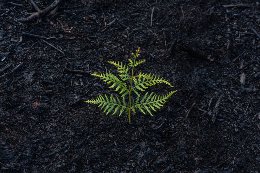
Early years drone education, A recipe for disaster or an opportunity for authentic learning? In my role as a education technology specialist I used to think that using drones in Early Childhood classrooms would be a recipe for disaster. I pictured drones flying in all directions, crashing into walls, children screaming and me cowering under […]
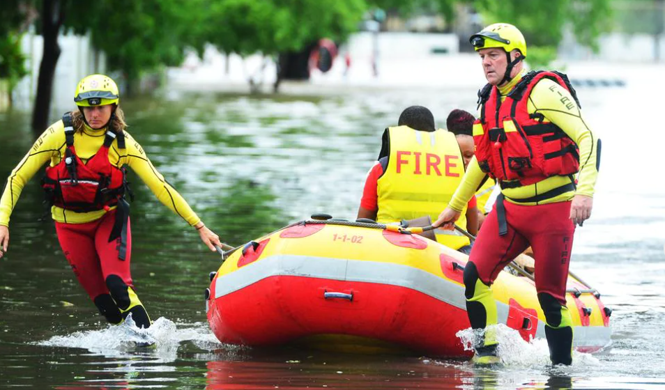
Drones in Floods; This transdisciplinary teacher resource uses ArcGIS StoryMaps to demonstrate how GIS and drones helped with the problem in 2019. This new unit of work is the second in a series of disaster themed units centred around geospatial tools such as drones and GIS (Geographical Information Systems) and the exploration of how they […]
Tello Edu vs Tello, Which one should I buy? The Tello drones – Tello and Tello EDU are made by Ryze Technologies, but use DJI flight control systems and Intel processors. But which drone is best for schools and for STEM education outcomes? This is the question we are going to answer below. Tello Hardware […]
GIS Careers in Space, Geographic Information Systems GIS Careers in SPACE – The fact that we can view detailed maps of a planet 385 million km away from Earth while sipping a latte in a café is simply mind-blowing. As kids, we look up at the sky and wonder: Why is the moon following me […]
Drones in Bushfires: This transdisciplinary teacher resource uses ArcGIS StoryMaps to demonstrate how GIS & drones helped recover from the Australian Bushfires. This unit of work is the first in a series of themed units centred around drones, Geographical Information Systems (GIS) and the exploration of how they are used to assist before, during, and […]
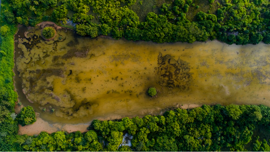
Drones are used for river restoration in California. Learn how one scientist is using drones to monitor algal blooms in the Klamith River environment in California. Did you catch Chippie Kislik’s talk at EduDrone 2020? She spoke about her work using drones to monitor algal blooms in the environment, and how to turn it into […]
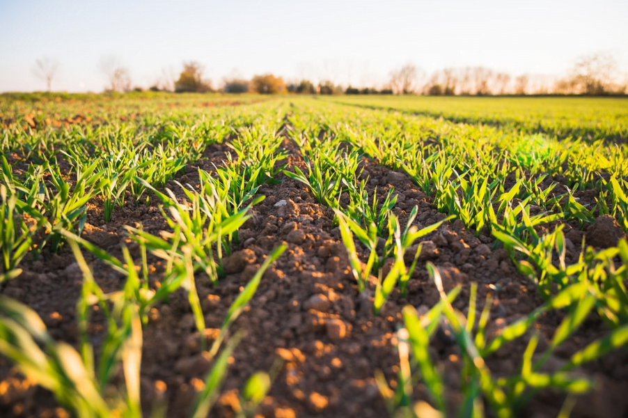
Learn how to make technology purposeful! Agri scientist Jade King tells us how to use educational drones for agri-tech learning and monitoring crops.

Lighthouse Schools Program: Immersive Geo-STEM Education Program Launched in Queensland. She Maps is proud to announce that our new Lighthouse Schools Program has launched! We had an overwhelming response from Queensland Secondary schools earlier this year who applied to receive a fully funded place in our new Lighthouse Schools Program and we are now supporting […]
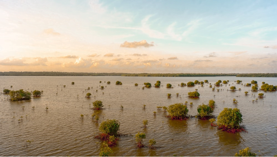
Dr. Catherine Nakalembe explains the crucial role that drones and STEM geography can play in monitoring crops and assisting refugee settlements in Uganda.