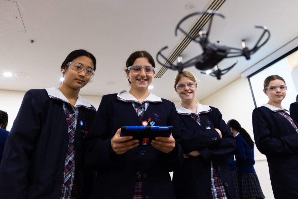
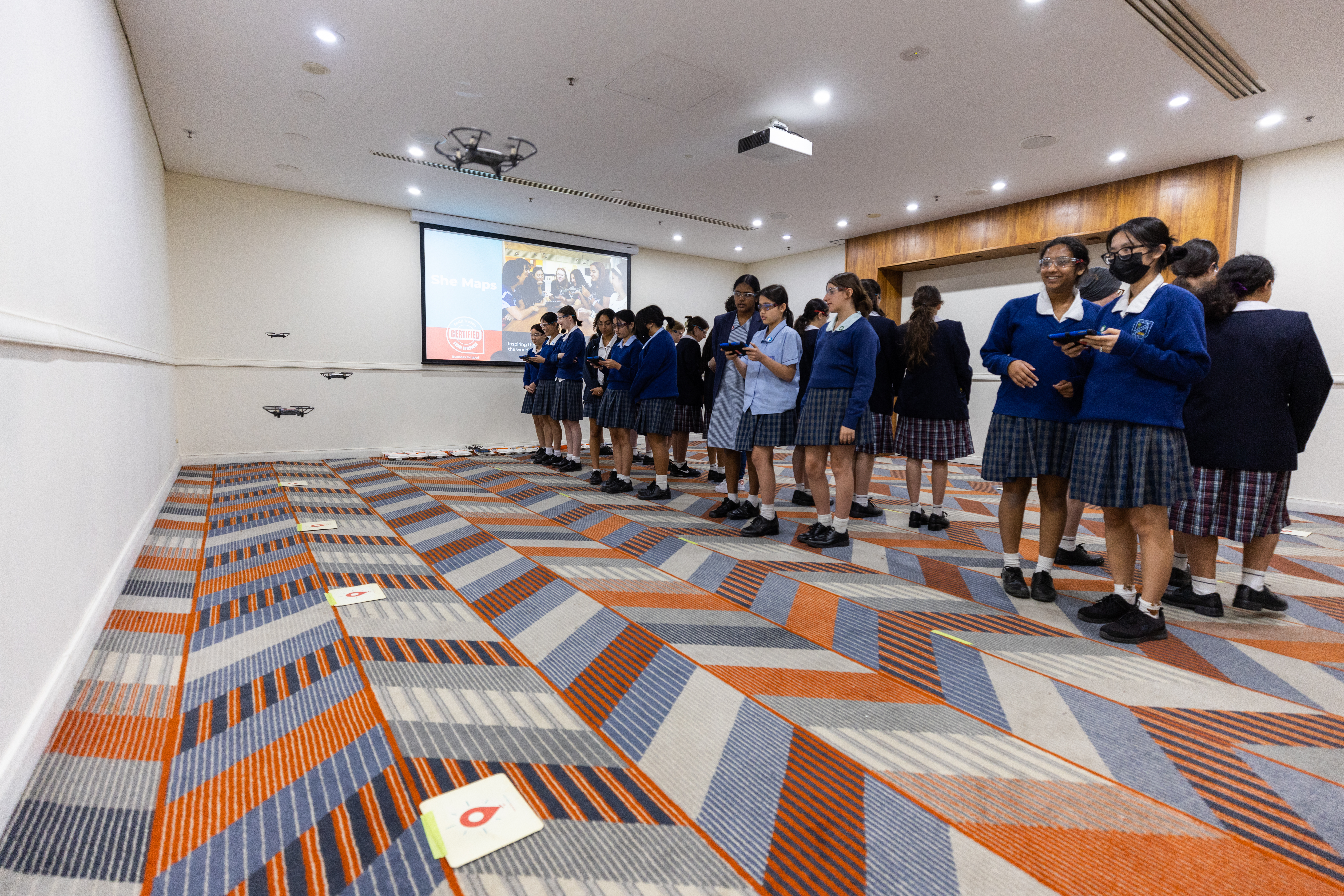
She Maps are on a mission to educate students about the geospatial industry and the many rewarding career paths that it offers. To fulfil this mission, She Maps provide Australian Curriculum aligned school incursions, where students will fly microdrones and get a taste of what it would be like to be a geospatial scientist for […]
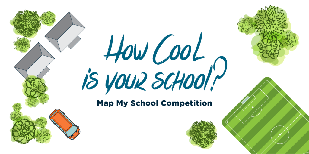
The competition is back on! As part of their annual ‘How Cool is Your School’ mapping competition, She Maps are sharing their set of curriculum-aligned mapping resources with teachers…for free! This ‘cool’ competition has been growing in popularity each year as students from across Australia take their mapping skills to the next level to measure […]

“What do you want to be when you grow up?” Help Students Find Fulfilling Careers through STEM Education! It can seem to be such an innocuous question, but behind those simple words is a decision that leads down different career paths. What students study may not be a part of their career in the future. […]
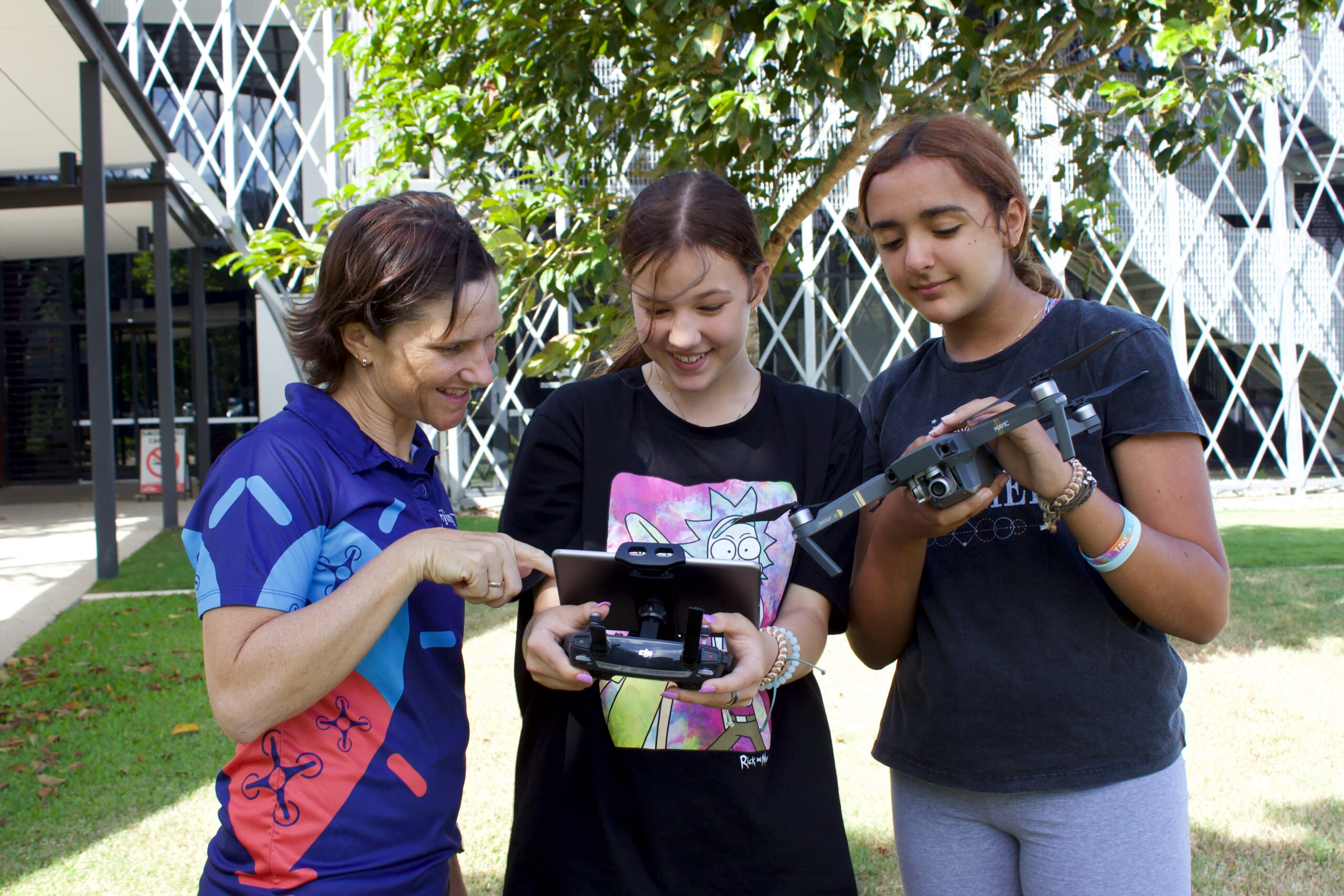
Getting started with drone mapping in your school Whilst many teachers are using microdrones in their classrooms, some teachers are wanting to take drones to a whole new level. Introducing sub 2kg drones to classes is where many teachers in senior secondary school are going as data analysis and geospatial data interpretation is becoming more […]

Drones in Australian STEM careers Drones, or unmanned aerial vehicles (UAVs), are becoming increasingly popular in various industries in Australia, such as mining, construction, delivery and search and rescue. They are being used for tasks such as crop mapping, aerial surveying, and wildlife monitoring, inspection and survey of mines, land and buildings survey, and goods […]
Where to start with drone programs at school Flying a drone at a school requires special attention to regulations and safety. It is important to familiarise yourself with the Civil Aviation and Safety Authority (CASA) regulations, obtain permission from the school, identify a safe flying area, choose the right drone for the job and use […]
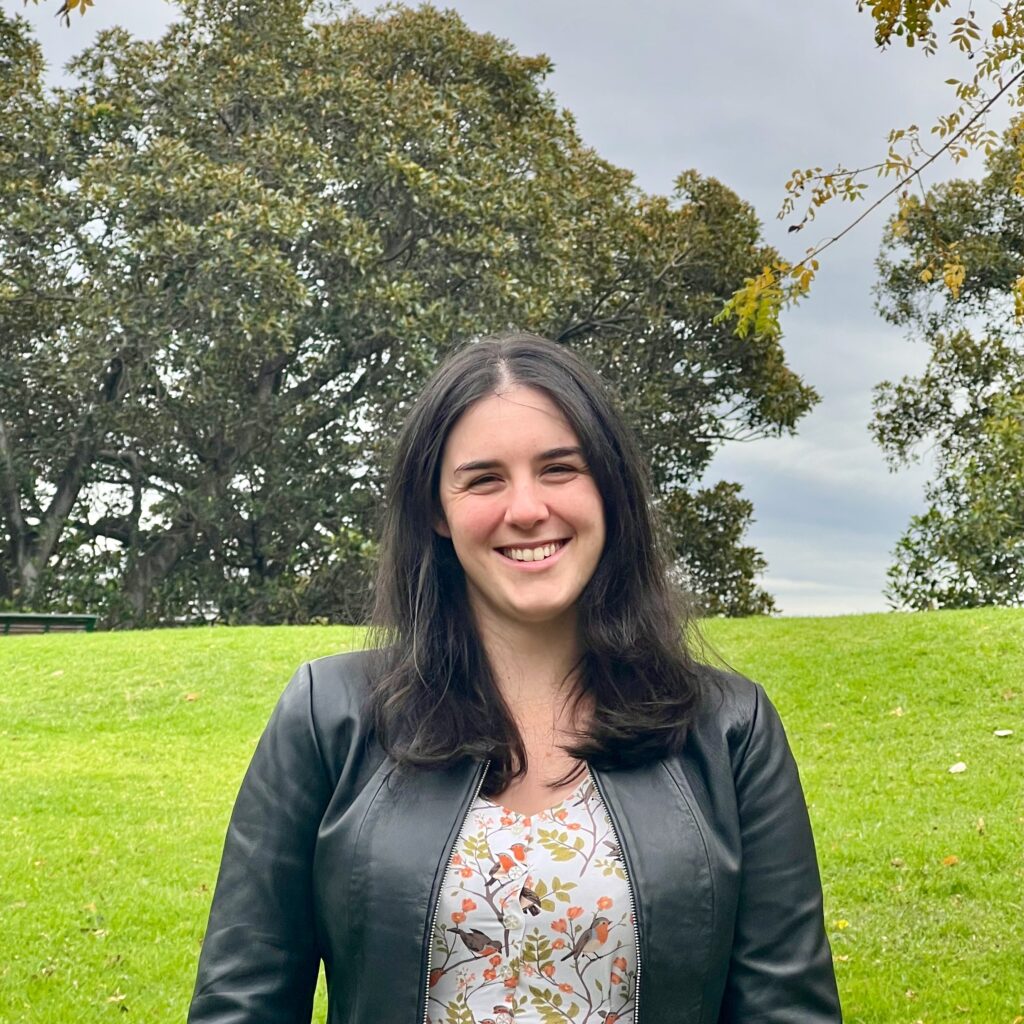
Meet Dr Caitlin Adams Dr Caitlin Adams works as a Senior Data Scientist at FrontierSI, applying machine learning to remote sensing data to improve the development of spatial data in Australia and internationally. Caitlin is a deeply creative thinker with a passion for solving the complex problems humanity faces. She is a passionate, hard-working, and […]
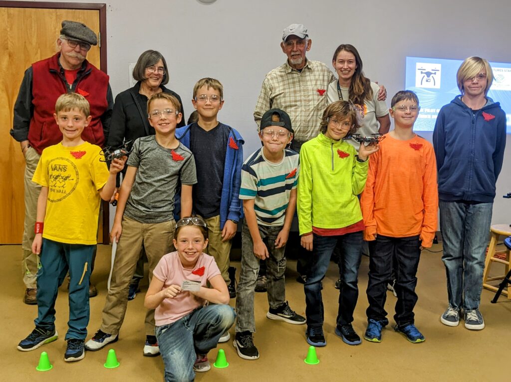
Organising a Drone Club The drone club at the Boys and Girls Club was a great success. It ran once a week for 6 weeks. There were 3 teams of 3 kids each. The ages were from 8-10 years, except for one of them who functioned as a junior staff member was 13. He was […]
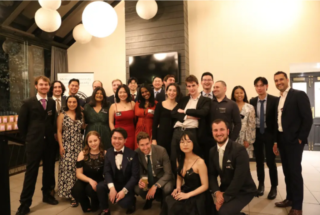
The Melbourne University Geomatics Society (MUGS) is a club for a variety of different students — from Engineers to Urban Planners to Earth Scientists to Surveyors. Geomatics is a spatial science that encompasses a broad range of disciplines that focus on measurements and mapping. As such, it is ideal for someone who enjoys a good […]