6 Reasons Why Your School Should Host a She Maps Incursion
Leah Francis
12 May 2023
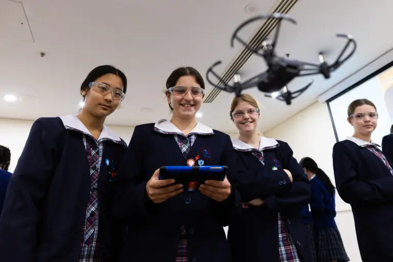
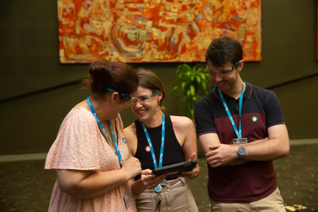
She Maps are on a mission to educate students about the geospatial industry and the many rewarding career paths that it offers. To fulfil this mission, She Maps provide Australian Curriculum aligned school incursions, where students will fly microdrones and get a taste of what it would be like to be a geospatial scientist for a day.
She Maps will take care of everything for your drone incursion. Our She Maps Certified Instructor will bring all the drones, tablets, and safety gear to run the session. Because we come to you, you won’t have the hassle of organising transport and buses. All that teachers and students need to do is bring their enthusiasm!
There are many reasons why your school should consider hosting a She Maps incursion, here are some of the most important ones:
1. Develop STEM skills
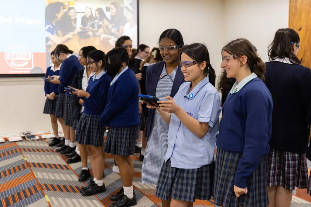
She Maps incursions are designed to help students develop their skills in science, technology, engineering, and math (STEM). By participating in a She Maps incursion (and becoming a geospatial scientist for the day), students will have the opportunity to engage in hands-on activities that will enhance their understanding of how these subjects are integrated.
2. Increase diversity in STEM
It’s no secret that women and girls are underrepresented in STEM fields. She Maps are working to change that! This is done by showcasing women in STEM fields and providing opportunities for girls to engage in STEM activities and see themselves as future scientists and engineers. By having a She Maps incursion, you can help to increase diversity in STEM and inspire more girls to pursue careers in these fields.
3. Real-world applications
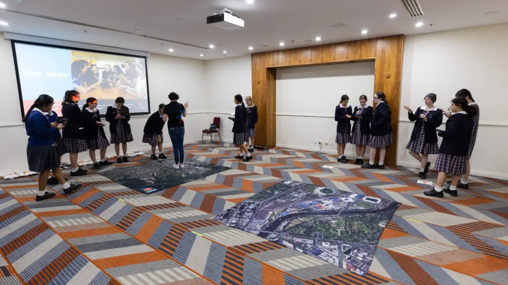
She Maps incursions are focused on real-world applications of STEM skills. Students will have the opportunity to become a geospatial scientist for a day as they fly a microdrone to survey an area of land for a specific purpose. In doing this, students will use problem solving skills and see the practical applications of the field of geospatial science.
Students use their coding skills to program a drone to fly autonomously over an area of land
4. Engage students in learning
She Maps incursions are designed to be fun and engaging for students. By participating in these hands-on activities, students become so absorbed in flying the drones that they don’t even realise all the STEM learning they are doing!
5. For the teachers
Although on the day of the incursion we will be focused on teaching the students, we haven’t forgotten about the teachers. Teachers and staff can observe first-hand the best practice for teaching with drones, including setting up safety parameters and how to teach manual and coded flight. They can also take advantage of having aShe Maps drone instructor at their school by asking questions and getting advice on how to start their own school drone program.
6. Support after the incursion
To help keep the drone momentum going, She Maps incursions also include a 12-month She Maps membership. This membership includes professional development modules designed to equip teachers with the knowledge they need to safely teach with drones. There is also a range of Australian Curriculum aligned units of work. These units include lesson plans and worksheets, curriculum mapping and assessment rubrics, as well as PowerPoint and Story Map presentations. The lessons are good to go, all you will need are the drones.
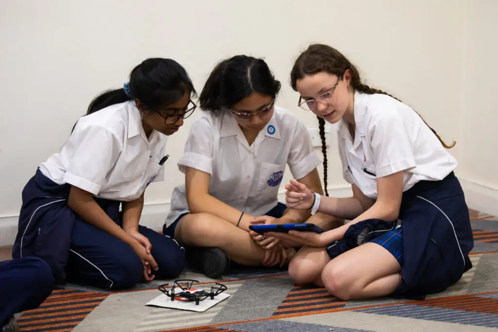
Students programming their drone to fly a designated flight path
Overall, a She Maps incursion is a fantastic way to engage students in STEM learning, increase diversity in STEM fields, and provide opportunities for real-world applications of STEM skills.
Great news! She Maps are traveling around Australia visiting 14 different locations. This means that hosting a She Maps incursion is more accessible than ever. All you need to do is check the dates that we are in your area and book a time for us to visit your school. Of course, if these dates and locations don’t work for your school, don’t let that stop you. She Maps have a team of instructors that are ready and excited to run an incursion at a time that suits you.
Teachers learning how to program a drone for autonomous flight
About She Maps.
She Maps is Australia’s leading expert in drone and geospatial education.
She Maps assist schools with the purchasing of drones, school-industry created drone and geospatial teaching resources and highly supportive teacher professional development.
FREE eBook – How to start a drone program at your school – Teachers Guide – Download Now
Learning Solutions Guide – Programs, Products and Pricing Guide – Read now
Ready to buy drones for your school? Browse our convenient classroom kits!
You’re in Safe Hands!
She Maps is a CASA approved commercial operator to fly microdrones indoors with students and teachers. CASA holds commercial operators, to a higher standard than recreational users and educators. This means that She Maps has been assessed by CASA as having rigorous training and risk mitigation procedures in place.
Want some help?
Schedule a call with one of our team members to get some personalised recommendations.
Take our resources for a spin and join the thousands of teachers who love our ready-to-teach classroom materials. Try one of our complete units of work for free.