From Classroom Drones to STEM Futures – Career Opportunities for 21st Century Skills
Keira Joyce
20 Apr 2023
With developing technologies and new STEM careers and pathways opening up, the need to get young people excited about math and sciences is becoming more important than ever before. As our society progresses, the necessary skills to maintain and innovate for the future of our lifestyles are more difficult to acquire, and therefore in high demand. Many STEM focused industries are suffering from workplace shortfalls that will offer great opportunities and interesting work for incoming students and graduates.
Geospatial Career Opportunities
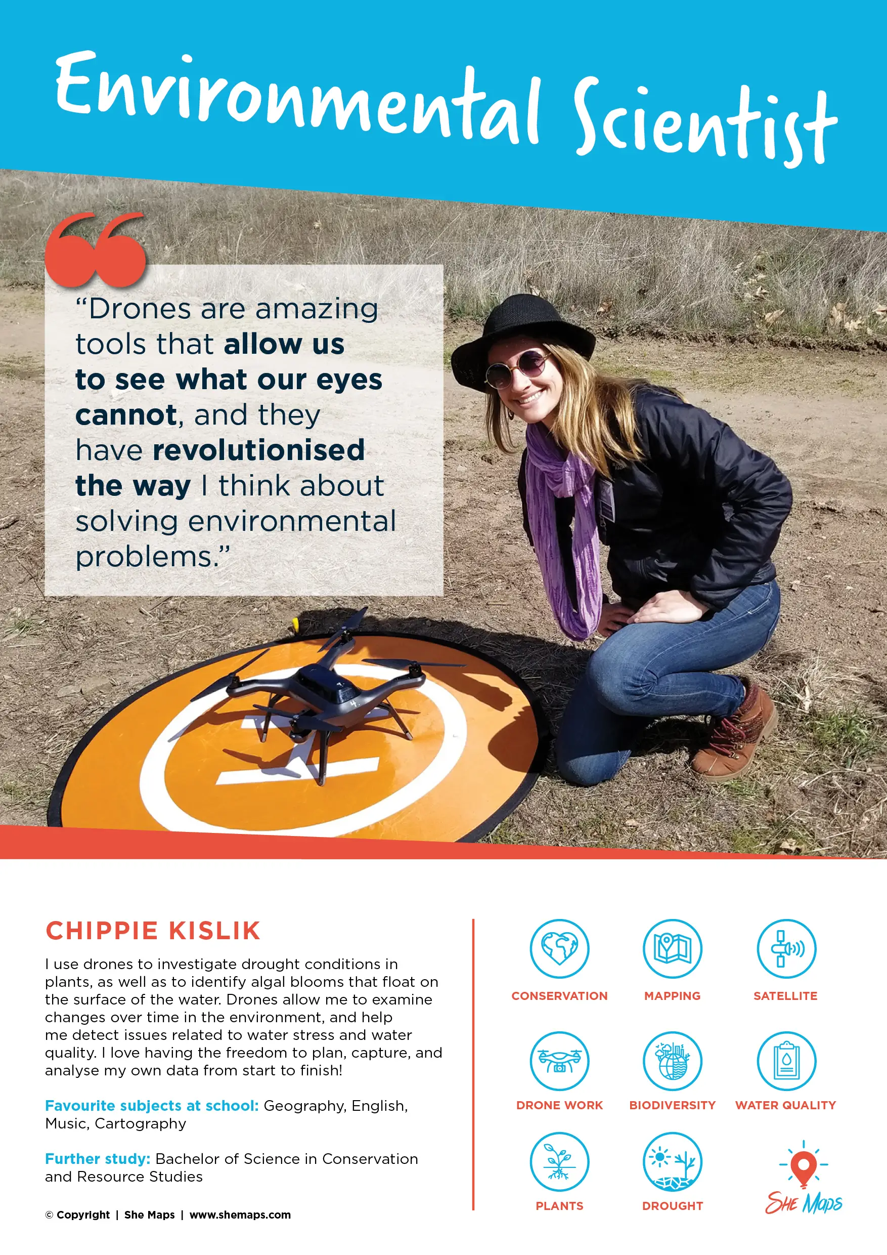
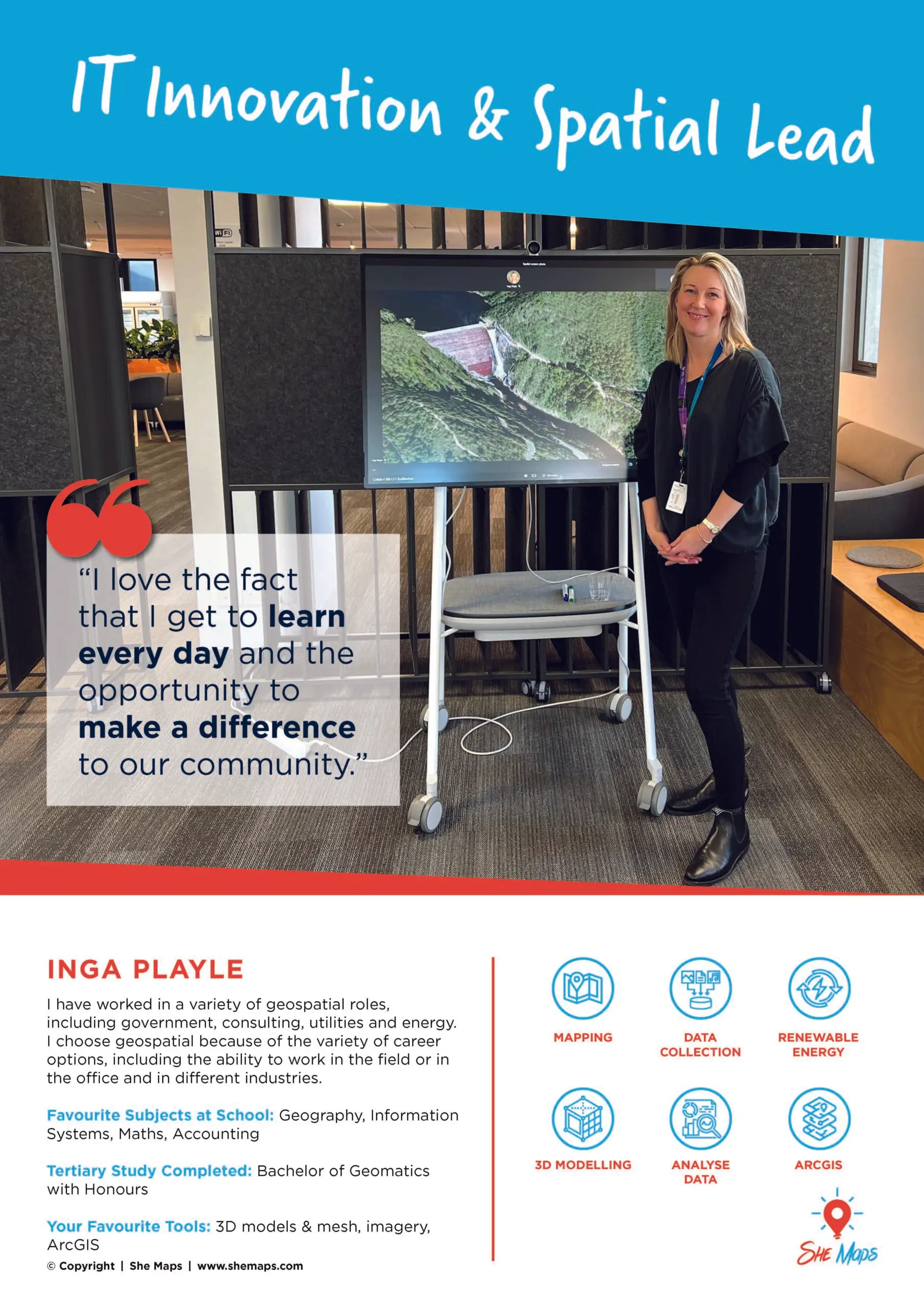
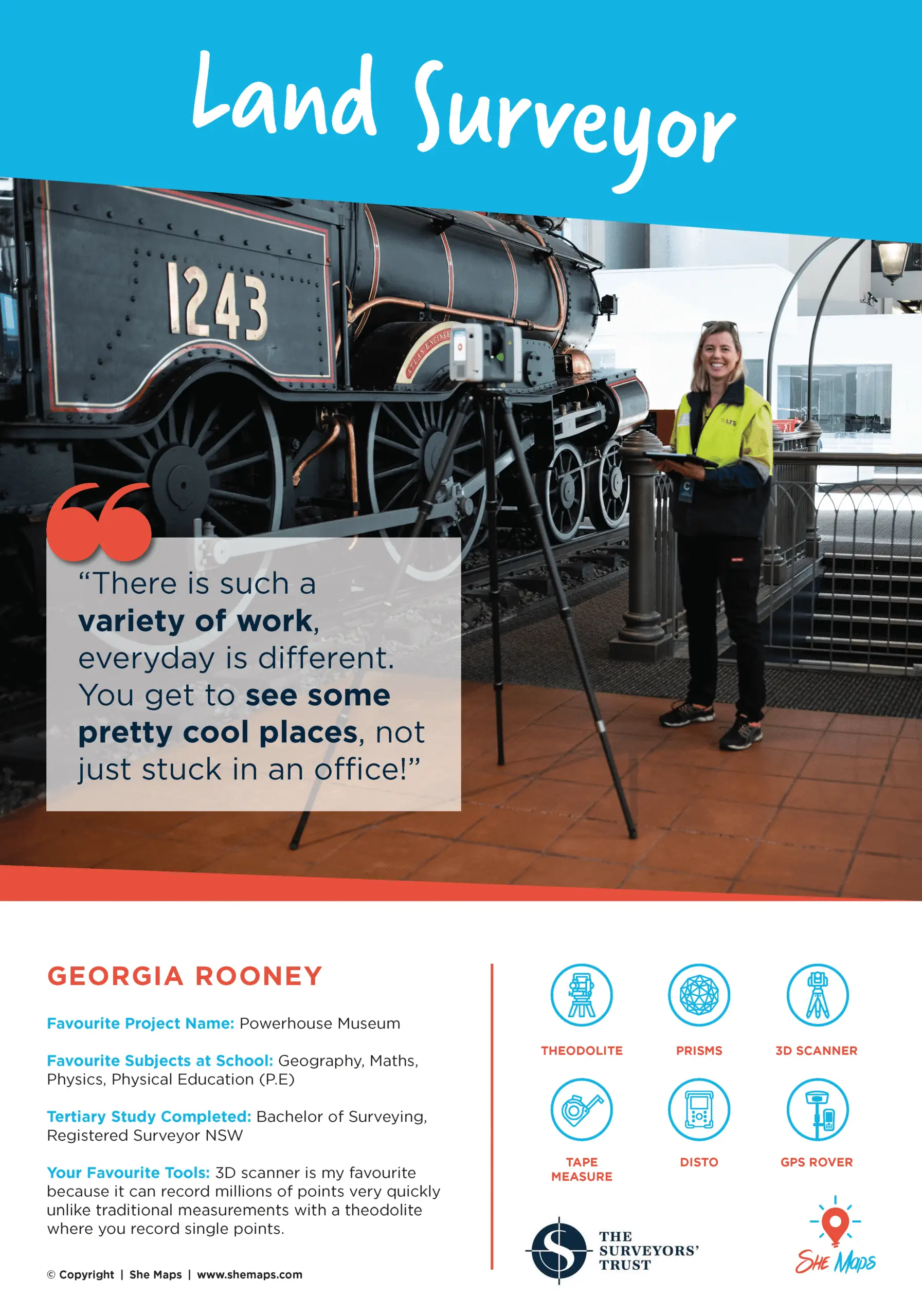
Plenty of these options lie in geospatial sciences, the industry of which is expanding too quickly for demand. These roles are not visibly portrayed in media often, and consequently not well known to the public as a career option, yet the geospatial industry informs and develops the foundations of modern society. The data science, mapping, and analysis produced by this STEM field underpins the infrastructure of our cities, connecting people through networks of transport and information. Geospace is interaction of the complex routes we travel overland in our everyday lives, and the merging of urban spaces with natural geography. The industry includes various pathways and career options necessary for disaster relief, city planning and development, the use of satellite map systems, and tracking the spread of viral infections. The skills needed for many of these positions also make them well paying graduate jobs, with an expected $91135 annual salary for surveyor and spatial scientist roles (ABS. 2021).
Promoting Spatial Sciences with She Maps
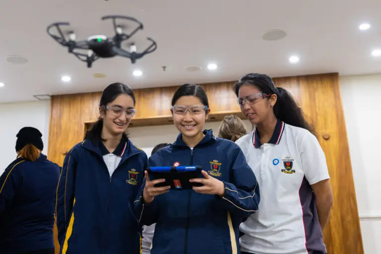
As geospatial careers are not well promoted to the general public, it’s important for external programs working with the industry to show the exciting aspects of geospatial roles and the opportunities the field presents. For instance, She Maps runs school incursions to educate students and teachers on geospace using drones, and collaborates directly with industry professionals to share stories of the research being conducted using the same techniques shown during the session. Their programs offer plenty of online resources on how to teach with drones, including risk assessments, units of work aligned with the Australian curriculum, and access to a community of other teachers using She Maps products.
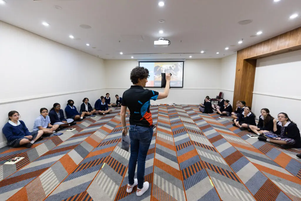
Katie, a She Maps Instructor, delivering a school incursion
She Maps also develops and runs free initiatives such as Map My School, an exciting nation-wide school competition to make geoscience more relatable for students from kindergarten to year 8. With no need for any excess equipment, students can use measuring skills and area calculations to create a map of their school, and determine the percentage of shady coverage. This lets them be a part of something genuinely important to their health, as sun safety is always a concern in blazing Australia, while learning about the skills needed and other applications of mapping.
Although the shortfalls across skilled industries in Australia are cause for concern, they provide students who are given the right support and motivation an incredible range of opportunities. Drones are a versatile classroom education tool and an engaging point of attraction for both girls and boys, helping to excite students about STEM and their futures.
Check out these blogs to see how drones are used to engage students in STEM and how you can get involved today.
She Maps is Australia’s leading expert in drone and geospatial education.
She Maps assist schools with the purchasing of drones, school-industry created drone and geospatial teaching resources and highly supportive teacher professional development.
FREE eBook – How to start a drone program at your school – Teachers Guide – Download Now
Learning Solutions Guide – Programs, Products and Pricing Guide – Read now
Ready to buy drones for your school? Browse our convenient classroom kits!
You’re in Safe Hands!
She Maps is a CASA approved commercial operator to fly microdrones indoors with students and teachers. CASA holds commercial operators, to a higher standard than recreational users and educators. This means that She Maps has been assessed by CASA as having rigorous training and risk mitigation procedures in place.
Want some help?
Schedule a call with one of our team members to get some personalised recommendations.
Take our resources for a spin and join the thousands of teachers who love our ready-to-teach classroom materials. Try one of our complete units of work for free.


