The Australian edition of the Huffington Post (online newspaper) ran a story in 2016 claiming that a career in drone operations is “the job of the future”. This claim (and other similar ones) have encouraged youngsters to opt for a Remote Aircraft Pilot’s Licence (RePL) and a Remote Aircraft Operator’s Certificate (ReOC). However, does this […]
This article enlightens teachers on how to use Esri StoryMaps in the geography classroom. In my previous blog I introduced ArcGIS StoryMaps and outlined how they integrate narrative text, interactive maps, and multimedia content, to tell immersive stories about people, places and the environment. There are now more than one million StoryMaps published publicly by […]

We acknowledge Australia’s First Nations Peoples – the First Australians – as the Traditional Owners and Custodians of this land and sea country where we live, breath, work, and play. We give our respect to Elders past and present and through them to all Australian Aboriginal and Torres Strait Islander people. We express our gratitude […]
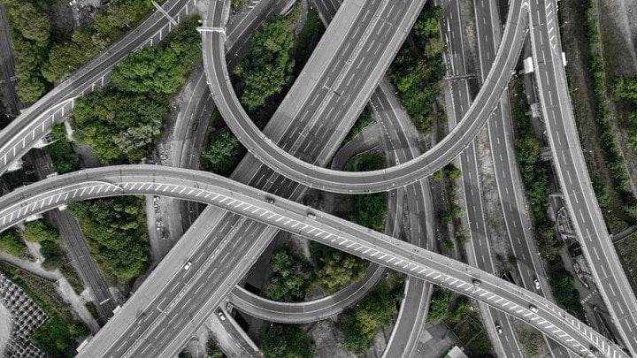
In this STEM Career Series, we will talk about the role of GIS Careers in Transport. Read on to find out what career opportunities exist today! On any given day, nearly 1.5 million people are present on Melbourne’s busy roads. There is almost always some form of construction work going on, with several pedestrians crossing […]

Clicks. Likes. Reactions. Emojis. More Clicks. More emojis. Do these actually do more than give us an instant gratification? Today more than ever, we are bombarded with information and advertisements on every digital platform, a stream of photos, commentaries, reels, and so on. Our posts and clicks unknowingly can contribute to helping some of the […]
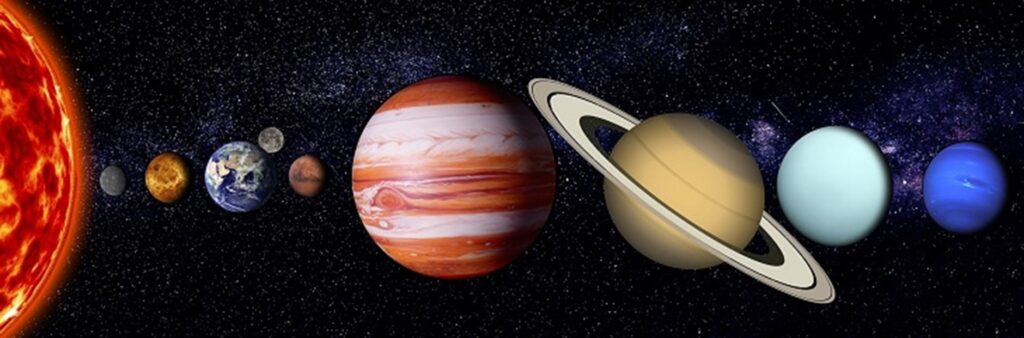
GIS Careers in Space, Geographic Information Systems GIS Careers in SPACE – The fact that we can view detailed maps of a planet 385 million km away from Earth while sipping a latte in a café is simply mind-blowing. As kids, we look up at the sky and wonder: Why is the moon following me […]
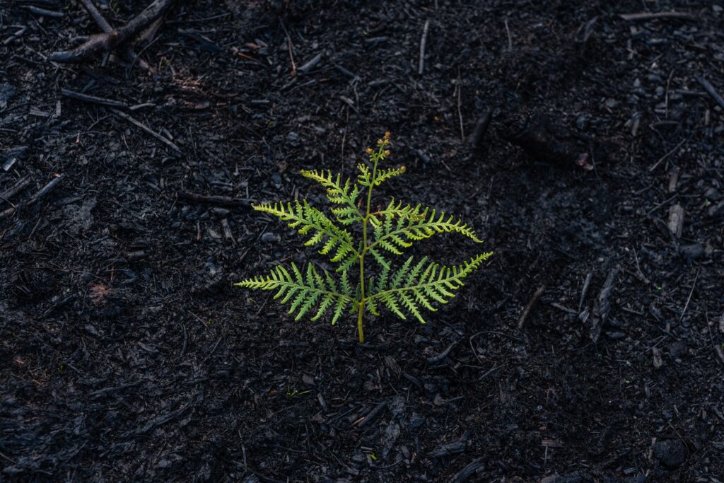
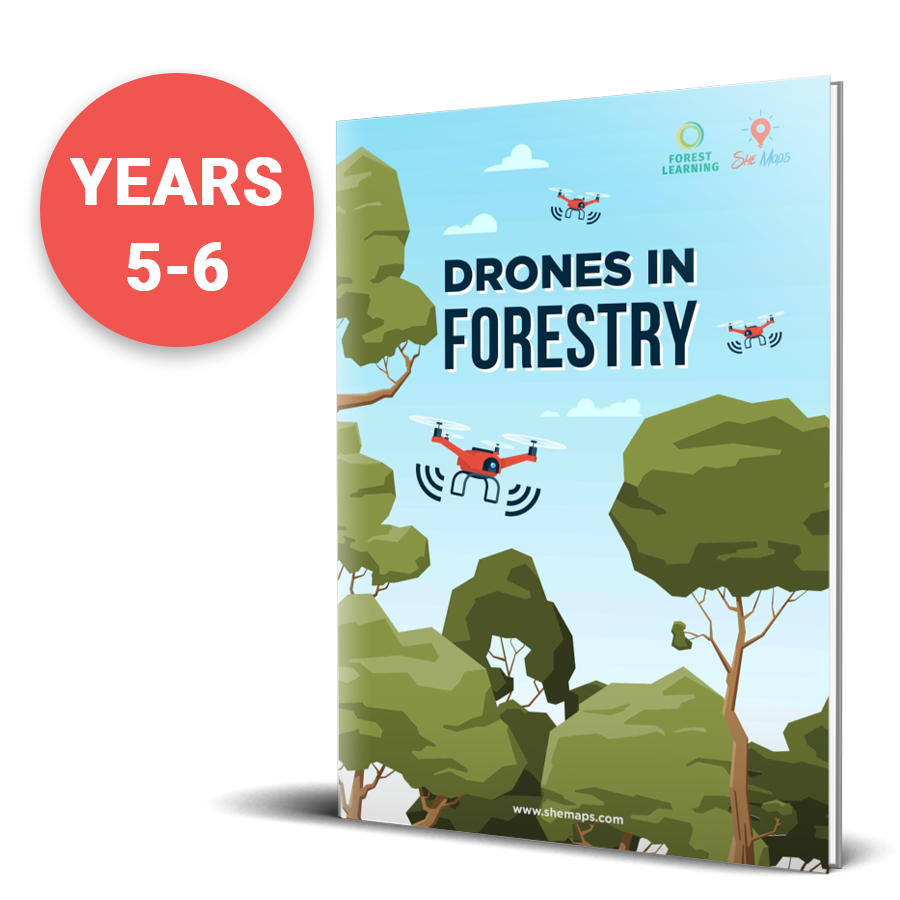
Drones in Bushfires: This transdisciplinary teacher resource uses ArcGIS StoryMaps to demonstrate how GIS & drones helped recover from the Australian Bushfires. This unit of work is the first in a series of themed units centred around drones, Geographical Information Systems (GIS) and the exploration of how they are used to assist before, during, and […]
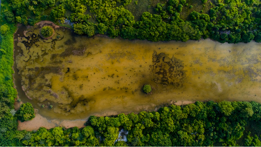
Drones are used for river restoration in California. Learn how one scientist is using drones to monitor algal blooms in the Klamith River environment in California. Did you catch Chippie Kislik’s talk at EduDrone 2020? She spoke about her work using drones to monitor algal blooms in the environment, and how to turn it into […]
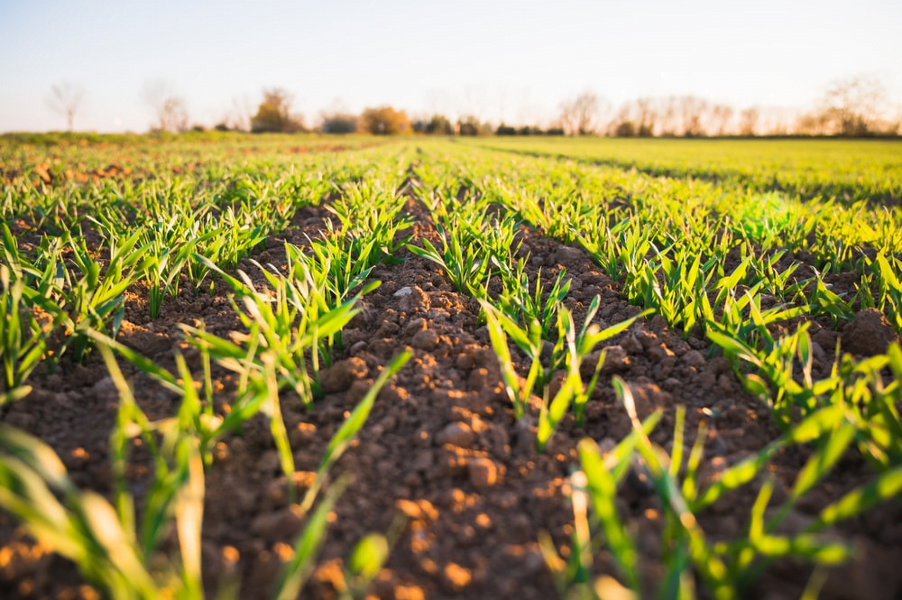
Learn how to make technology purposeful! Agri scientist Jade King tells us how to use educational drones for agri-tech learning and monitoring crops.