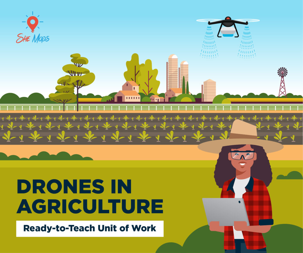
Drones in Agriculture – Working on the farm with emerging technology Drones and GIS are joining forces with tractors and other agricultural equipment as they are utilised by farmers, graziers and agricultural professionals for a number of jobs. From tree seeding to stock management, monitoring crops, infrastructure management and weed control the tasks that drones […]
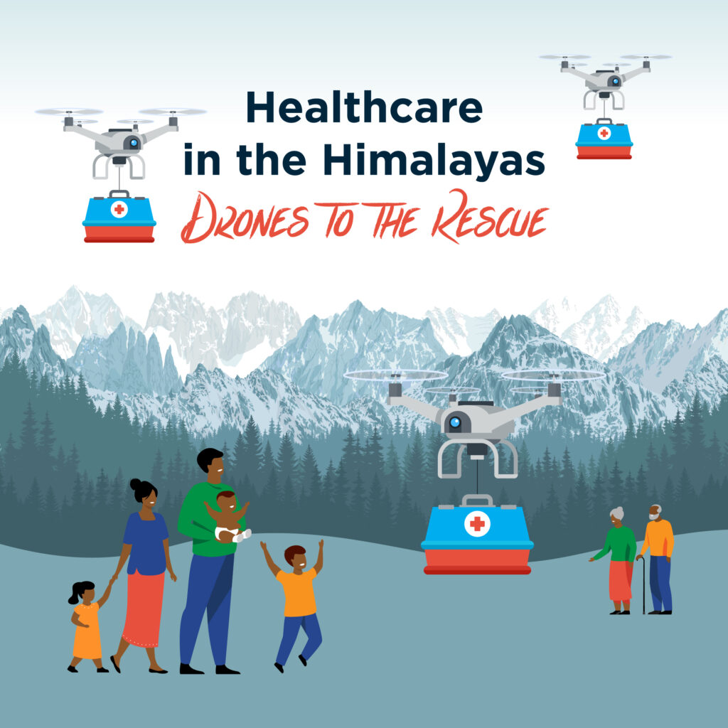
Nepal has 8 of the world’s 10 tallest mountains, including the highest mountain in the world – Mt Everest! Although undeniably beautiful, life in the Himalayas can be complicated by these enormous mountains. It can make it difficult to transport essential items such as food and medicine to some communities. Access to healthcare is a challenge in many remote regions of Nepal, as patients and healthcare workers have to walk for hours or even a full day along steep, winding tracks between the village and the nearest hospital.
How can drones help?
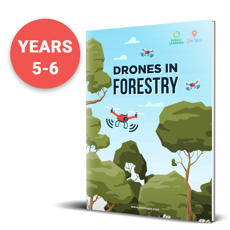
Drones in Forestry units of work – students in years 5-6 and 9-10 to explore how Australia’s forests are sustainably managed using a variety of high-tech digital systems including drone and remote sensing technologies.
Planes, drones and maps St Peters Primary, Epping planned an inquiry unit on flight. It would start with balsa wood planes and looking at the invention of first flights and would finish with surface audits of their school grounds and using drone technology with purpose. Watch this Watch Melissa Gatt, Rachael Lorkin and Laura Mercuri […]
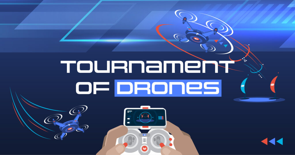
Competitive STEM challenges with drones A Tournament of Drones is a competition where teams will challenge themselves to solve real-life problems with drones. This one-day event sees teams race through an obstacle course to dock their spaceship, become a rescue drone in an emergency situation, and use their coding and problem-solving skills in a simulated […]
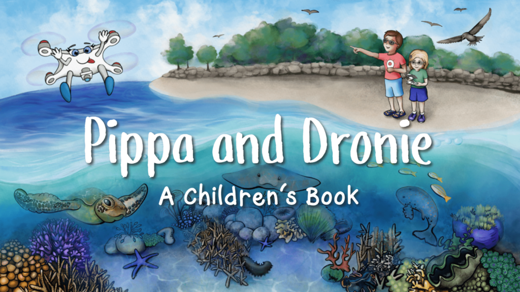
Pippa and Dronie is a beautifully illustrated book for young readers aged 5 to 9, celebrating diversity in STEM. The book introduces children to real-life female role models doing amazing things in their work with drones. Join in the adventure as Pippa and Dronie travel around Australia, finding out just how useful a drone can be!
What does geospatial mean? The word geospatial is made up of two parts: Geo – the Earth Spatial – size, shape, and position So geospatial refers to the size, shape, or position of something on the earth’s surface. Those in geospatial professions use tools like GPS, laser scanners, drones, satellites etc to measure, map, model, […]
Drones are one of the fastest growing technologies in the world and schools are looking at how they can incorporate them into their classrooms and clubs. She Maps recently had the privilege of running a Q&A session with Melbourne Archdiocese Catholic Schools (MACS). We asked schools to think of all the unanswered questions they had about […]
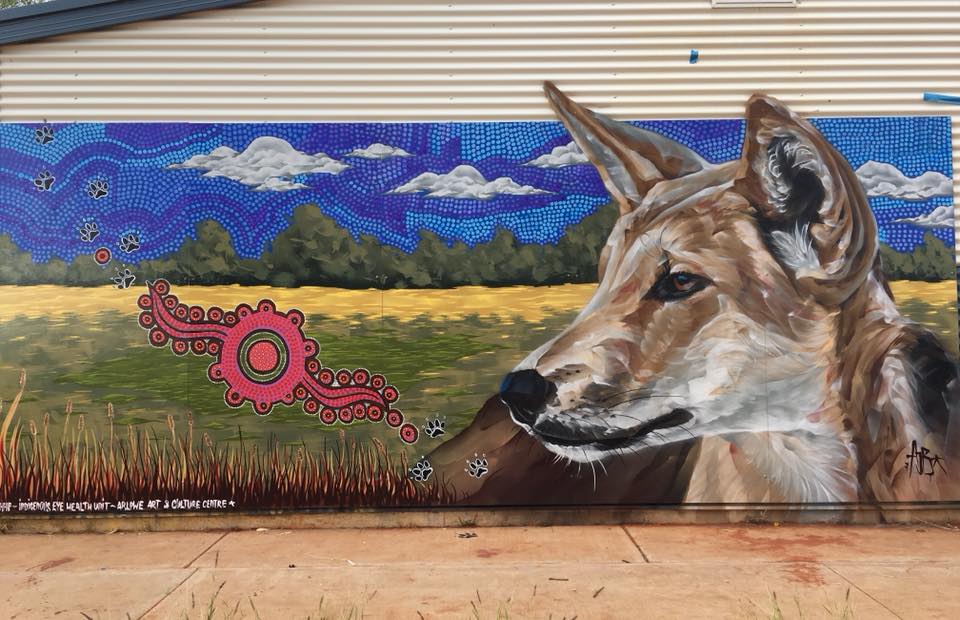
A recent trip to Ali Curung, to assist indigenous drone trainees on how to fly drones. Sharing simple skills in coding and flight, forming an aspirational basis for an emerging set of tools to be used by the community. Recently I had a short visit to a community called Ali Curung in central Australia, 170km […]